Services
CAD Drafting & 2D Modeling
3D Modeling (Scan-to-BIM)
Point Cloud Processing & Structuring
Surveying, Mapping & GIS
Design Engineering
Urban Planning
Land management
ABOUT US
Projects
Contact Us
News
NEWS
UA
EN
DE
UA
EN
DE
About Us
Services
CAD Drafting & 2D Modeling
3D Modeling (Scan-to-BIM)
Point Cloud Processing & Structuring
Surveying, Mapping & GIS
Design Engineering
Urban Planning
Land management
Projects
News
Contact Us
NEWS
Follow Us:
info@archizem.com.ua
News
The creation of the digital topographic basis of the territory of the city of Kodyma has been completed
18.02.2022
Read more
Archizem Company has completed the creation of a 1:2,000 scale digital topographic base of the city of Soledar, Bakhmut district, Donetsk region
16.02.2022
Read more
The village council of Blagodatne approved the master plans of eleven villages
15.02.2022
Read more
The creation of the topographic basis of the scale 1:2000 and 1:10,000 of the territory of the Yuzhne City Council has been completed
31.01.2022
Read more
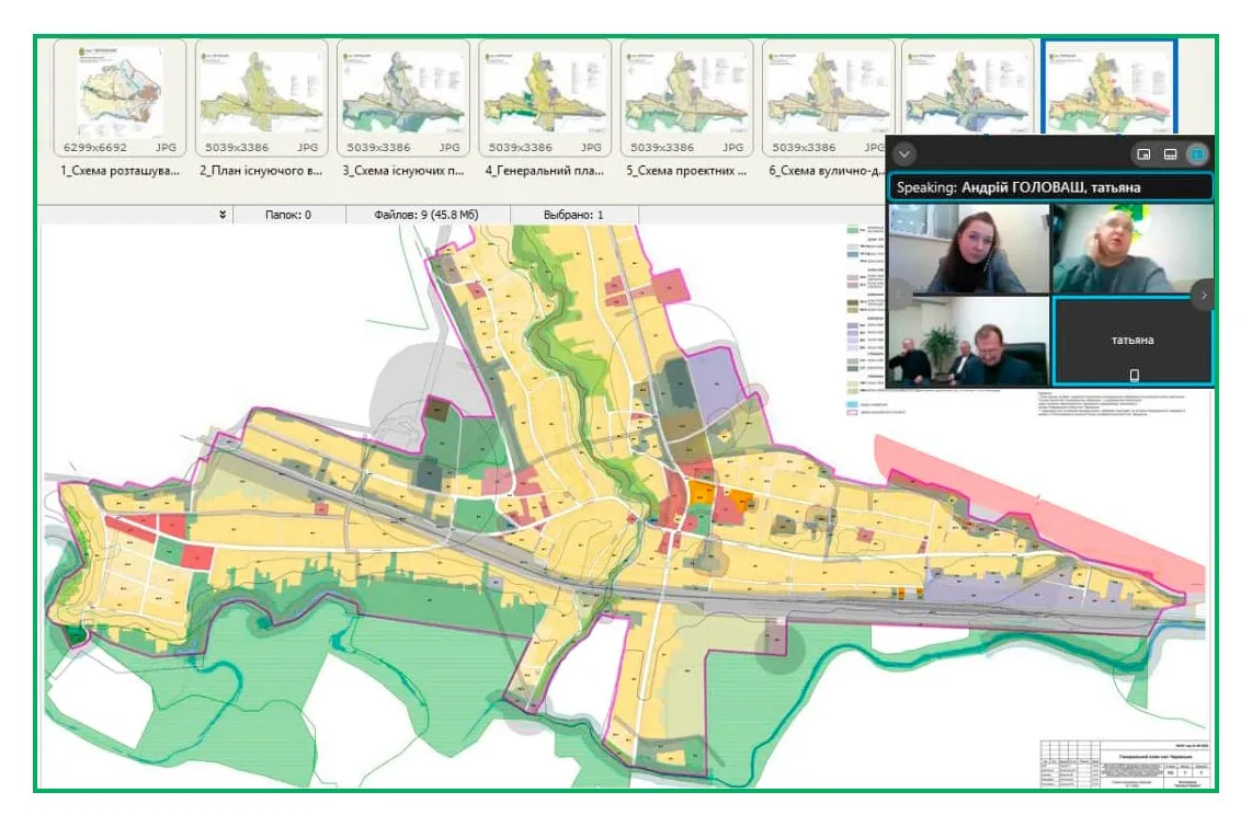
The master plans of four settlements of Cherkasy AH were approved by the City Council
27.01.2022
Read more
Establishment of the boundaries of the Kramatorsk territorial community: coordination of the project documentation is underway
20.01.2022
Read more
Valeria Ruseva, a geodetic engineer at Archizem, successfully passed the qualification exam and received her geodetic engineer certificate!
18.01.2022
Read more
The general plans of six villages of Blahodatnenska AH were reviewed by the Mykolaiv Regional State Administration
14.01.2022
Read more
The creation of a digital topographic basis of the territory of the villages of Berezan and Kurgan has been completed
12.01.2022
Read more
Vorige
More news