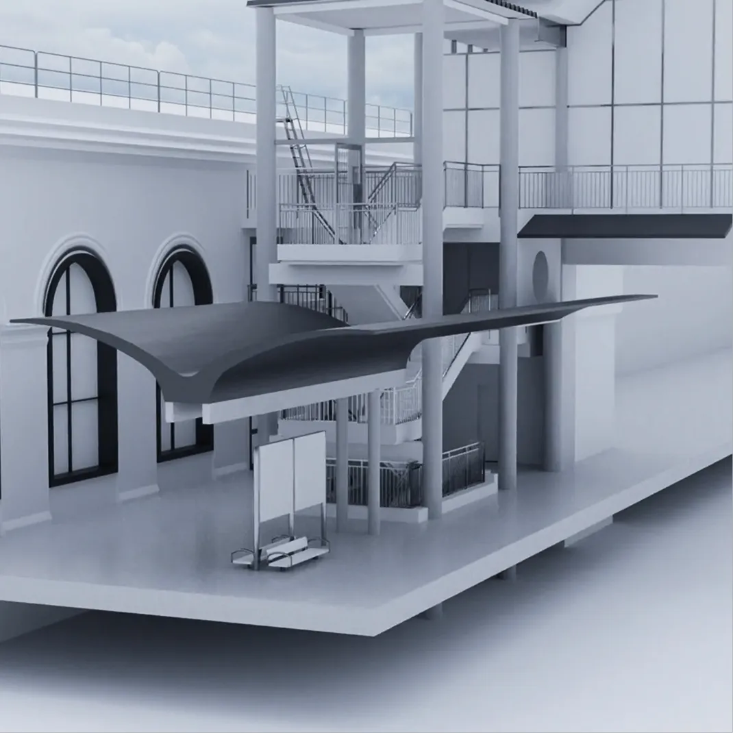
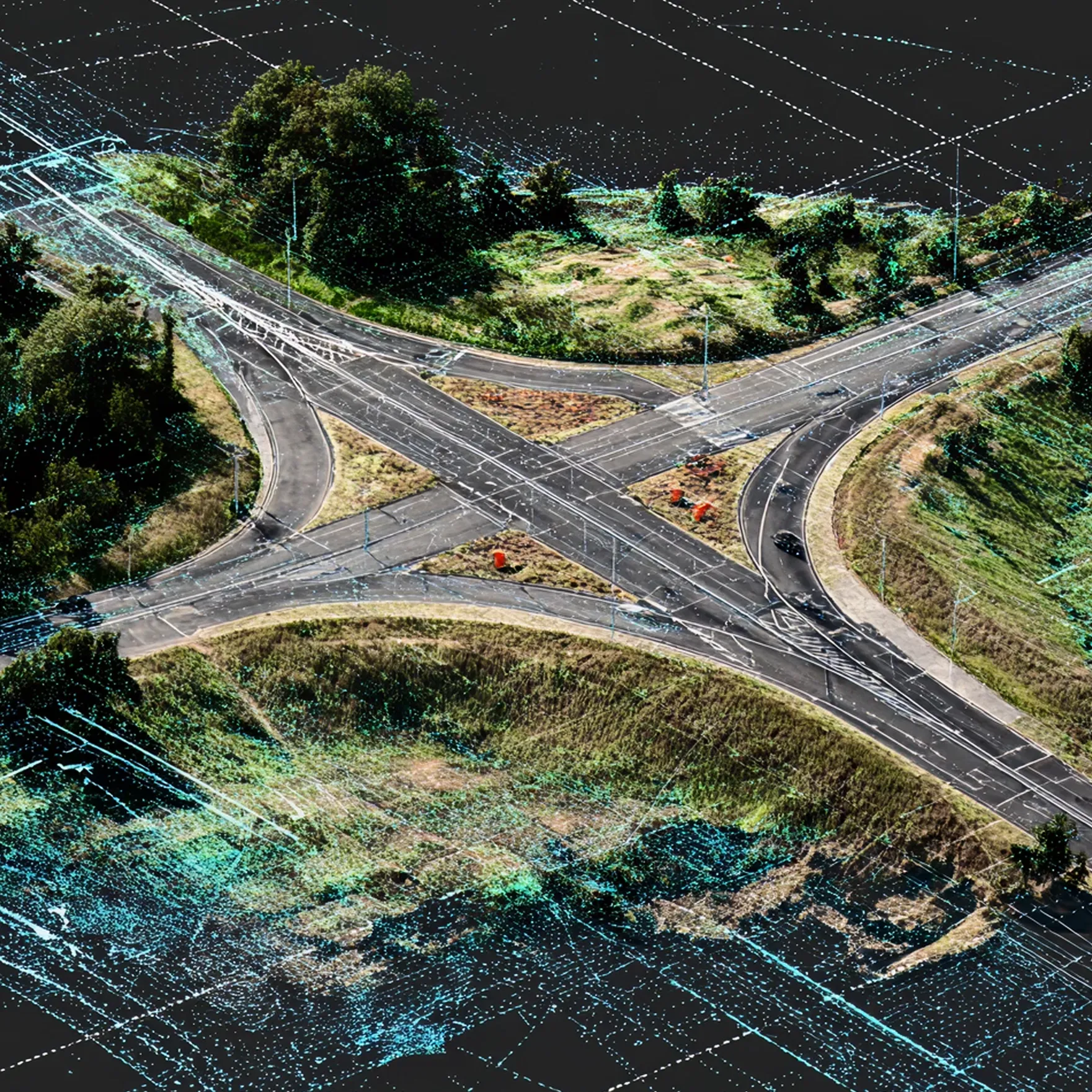
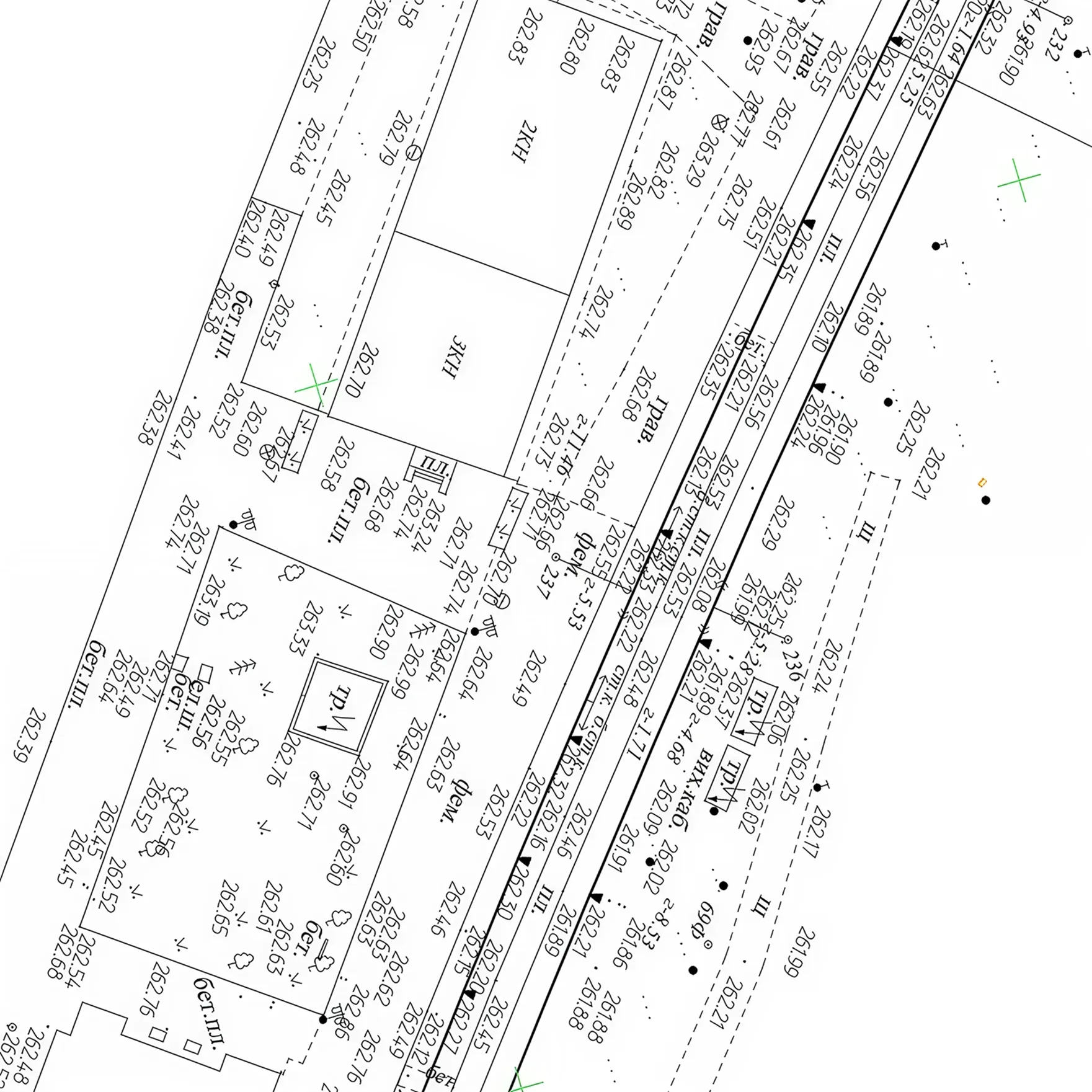
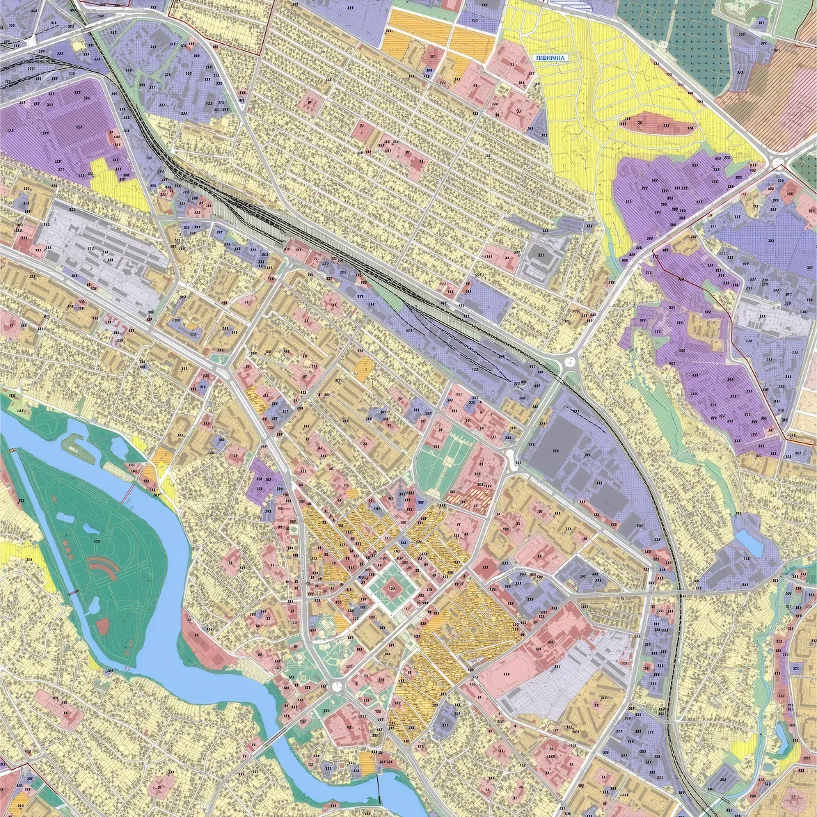
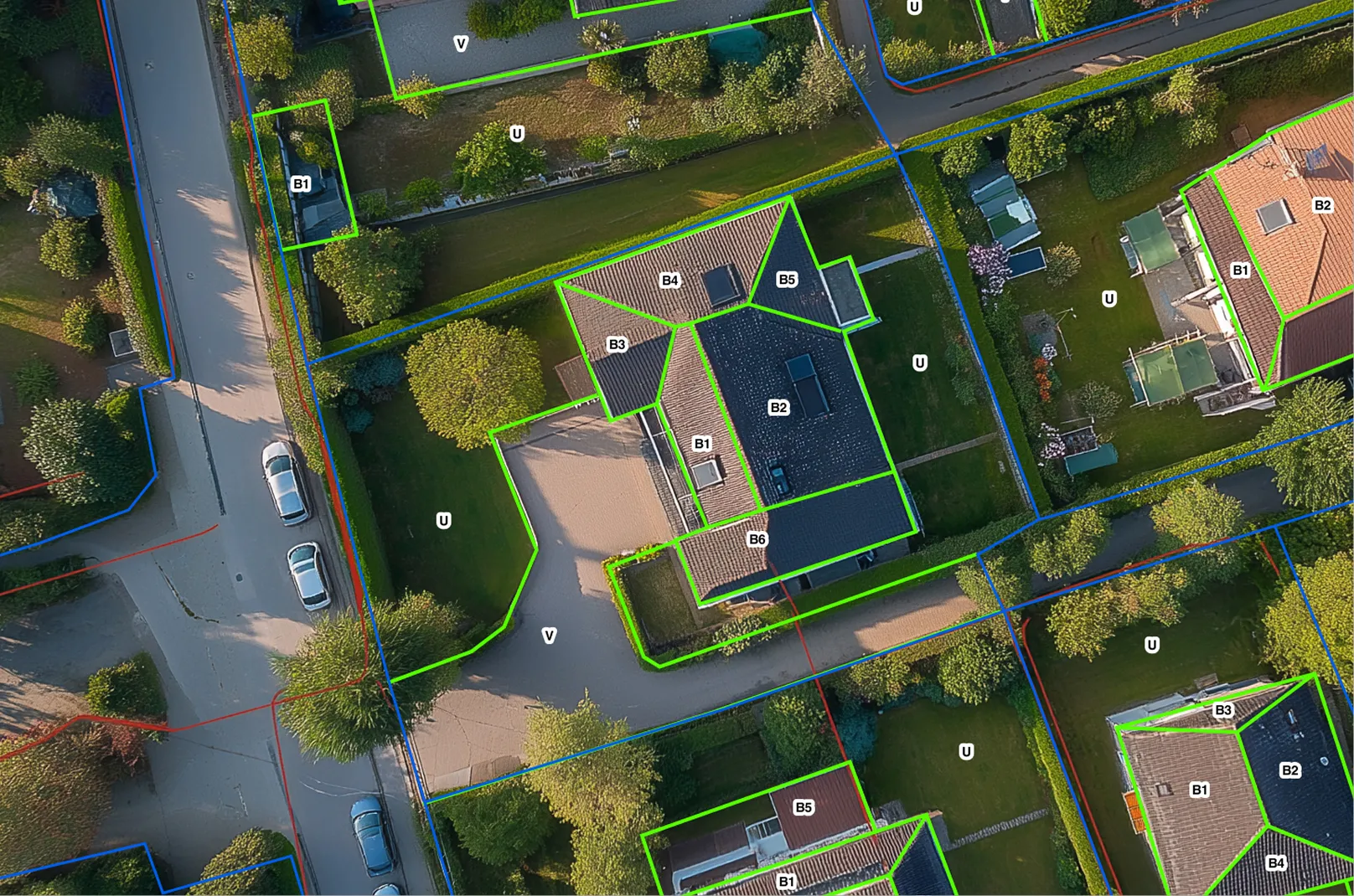
CAD Drafting & 2D Modeling
From point clouds or geodetic surveys to a complete set of ready-made drawings — engineering, topographic, and architectural plans and profiles, digital terrain and site models, etc. All documentation complies with international standards and is seamlessly integrated into your CAD, GIS, or CAFM systems.