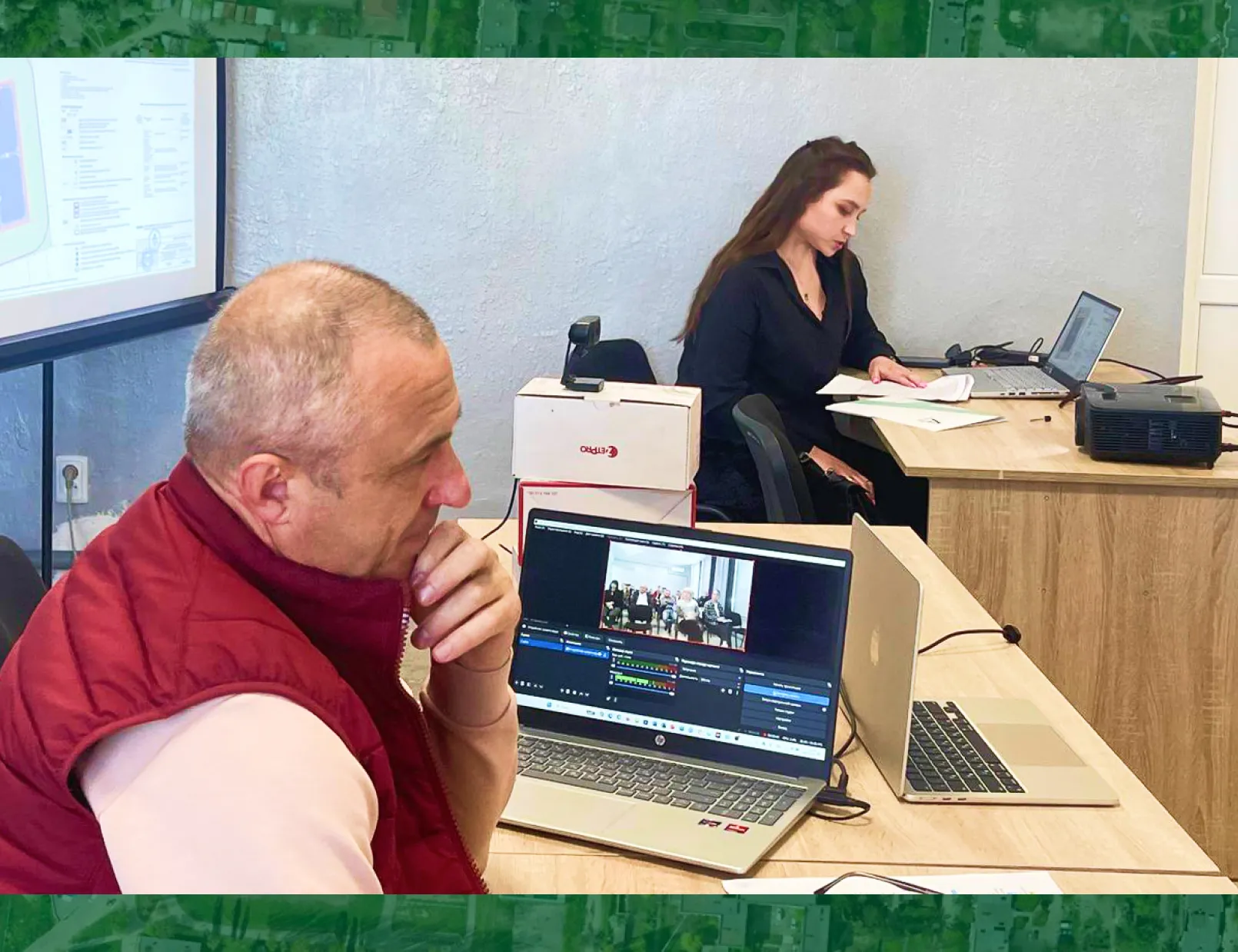
In mid-December 2021, the employees of the company “Archizem” completed work on the creation of a digital topographic basis of scale 1:2,000 and 1:10,000 of the territory of the Southern Urban Territorial Community of Odesa district, Odesa region, with a total area of 10,756 hectares (107.56 km2).
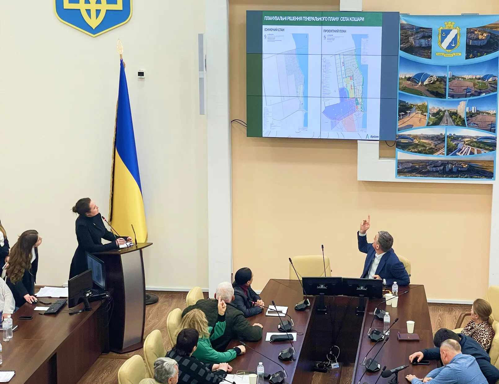
The composition of Yuzhnenskaya urban AHG includes settlements: the city of Yuzhne, the village of Novi Biliary and the villages of Sychavka, Grigorivka, Koshary, Biliary, Buldinka.
We emphasize that the topographic basis is made on a scale of 1:2,000 and 1:10,000 for the entire territory of the city community of Yuzhne — both within and outside the settlements.
We note the coordinated and well-coordinated work of our specialists, since the entire complex of works was completed in the shortest possible time. From October to November 2021, the collection and analysis of the source data was carried out, aerial photography, tacheometric photography and field decryption of territories within and outside the settlements were carried out. During November-December 2021, the company's specialists carried out cameral processing of field survey materials and carried out work on drawing up a topographic plan of the territory of the Southern Urban Community.
All the results of the work performed were compiled in the database of geodata of the ArcGIS geoinformation system and printed on the nomenclature sheets in the local coordinate system MSK-51.
As a result, the following were transferred to the Yuzhne City Council:
- printed tablets of a scale of 1:2000 and 1:10,000,
- technical reports on the complex of topographic and geodetic works M 1:2000 and 1:10 000,
- aerial photography materials with a resolution of 5 cm/pixel,
- digital version of the topobase in the ArcGIS geodata database, as well as in the formats *.dmf (Digitals), *.dwg (AutoCAD), *.shp.
The land base is needed by the Southern Urban Territorial Community for the development of urban planning and land management documentation. Also, the digital format of the topobase allows you to form extracts (extract) of information from the geodata database and make changes to the geodata database. In addition, the digital format of the topobase allows it to be used for placement on the web portal of geospatial data of the community and the urban planning cadastre of the Odesa region.