Employees of the cartography department of the company “Arkhizem” completed a complex of works within the framework of creating a digital topographic base of 1:2000 scale for the villages of Kurgan and Berezan of Vygodian rural united territorial community of Odesa region, for a total approximate area of 429 hectares.
In the fall of 2021, specialists of the department of cartography and photogrammetry performed work on collecting and analyzing the source data, conducted aerial photography, geodetic photography and field decryption of the terrain of villages. On the basis of the received data, the cameral processing of materials of field works was carried out and in early November the final works on drawing up a topographic plan of the territory of the villages of Kurgan and Berezan were carried out.
As a result, the topobase tablets of 1:2000 scale in printed form, aerial photography materials with a resolution of 5 cm/pixel and a digital version of the topobase in the base of geodata, *.gdb and *.shp (ArcGIS), * .dwg (AutoCAD), *.dmf (Digitals), with reference to the coordinate system MSK-51.
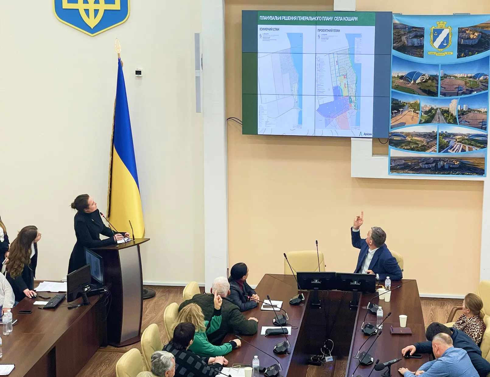
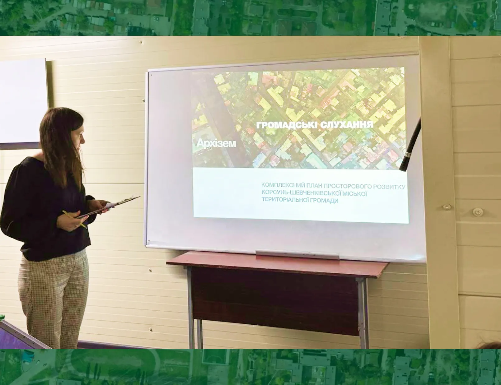
With the help of a digital topographic basis, Vygodiansk village council will develop master plans for the villages of Kurgan and Berezan. Note that our architects have already begun work on preparing urban planning documentation for the territory of these villages.
Topobase will also allow the development of other urban planning and land management documentation at the local level, and the structure of digital topographic data allows you to form extracts (extract) of information from the geodata database and make changes to the geodata database. In addition, the digital format of the topplan allows it to be used to host geospatial data of the community on the web portal.