According to the agreement with the Soledar City Council, our company performs the following works:
- creation of a topographic base on a scale of 1:2,000 in the territory of the city of Soledar, for a total estimated area of 1,919 hectares (19.19 sq. km),
- creation of a topographic basis on a scale of 1:10,000 for the community, with a total estimated area of 56,725 hectares (567.25 sq km).
The city of Soledar — is the administrative center of the Soledar urban territorial community. The community comprised 1 town and 9 village councils (37 settlements), and the total area of the united community was 567.1 square km.
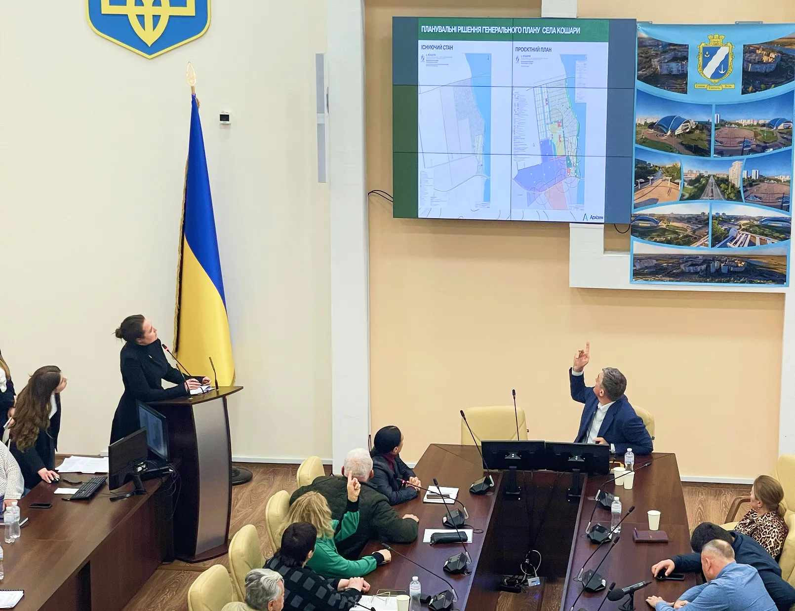
The topographic basis of the Soledar urban territorial community is created to develop a comprehensive plan for the spatial development of the territory of Soledar TG and other urban planning and land management documentation.
In the course of the work on compiling the topographic basis of the territory of the Soledar community and the city of Soledar, our specialists collected and analyzed the source materials, including topographic maps and plans drawn up in the period from 1962 to 1993. Also, our specialists sent requests to all relevant authorities to the owners of information on the infrastructure of engineering and main networks. As a result, the topplans with the necessary accuracy and in accordance with regulatory documents reflect the appropriate scale objects of the terrain, including infrastructure, engineering networks, underground communications, GGS points and other objects.
After the preparatory work, all the necessary field studies were carried out. In particular, 47 points of the State Geodetic Network (DGM) and 4 level signs were surveyed. Of the 47 points suitable for use on the territory of the community, there are 16 points of DGM left. Also, during the field work, aerial photography, tacheometric photography and field decryption of the city of Soledar were carried out.
As of the beginning of February 2022, our specialists are working on compiling a topographic basis of 1:10,000 scale of the territory of the Soledar urban territorial community.
Previously, 1:2000 topobasic tablets in printed form, aerial photography materials with a resolution of 5 cm/pixel and a digital version of the topobase in the database of geodata format *.gdb (ArcGIS), in vector format*.shp were transferred to the Soledar City Council., *.dwg (AutoCAD) and*.dmf (Digitals) with reference to the MSK-14 coordinate system. In the near future, our company will complete the development of a foundation of scale 1:10,000 and transfer all materials to the Customer.
Note that the digital format of the topobase allows you to form extracts (Extract) of information from the geodata database and make changes, and also allows you to use it for placement on the web portal of geospatial data of the community and the urban planning cadastre of the Donetsk region.