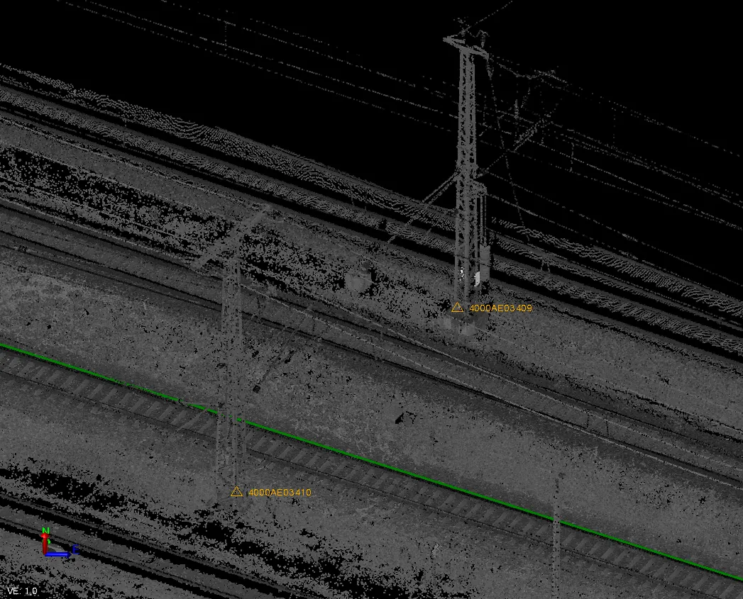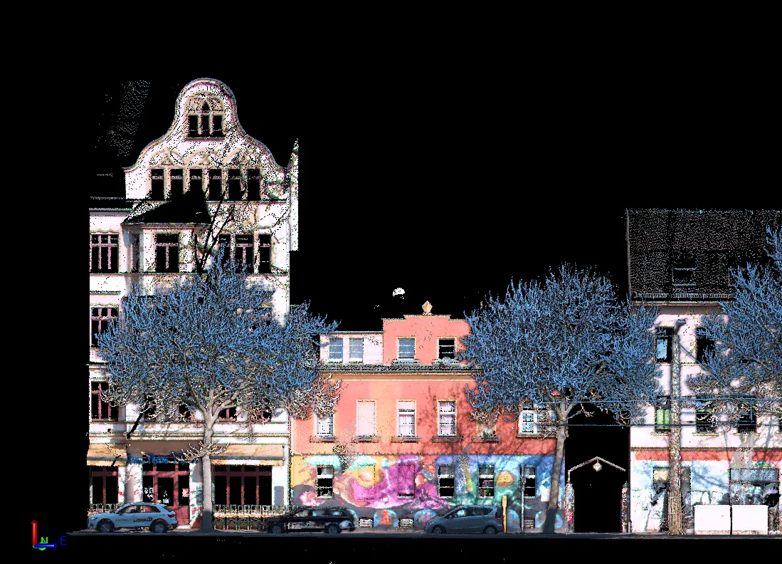
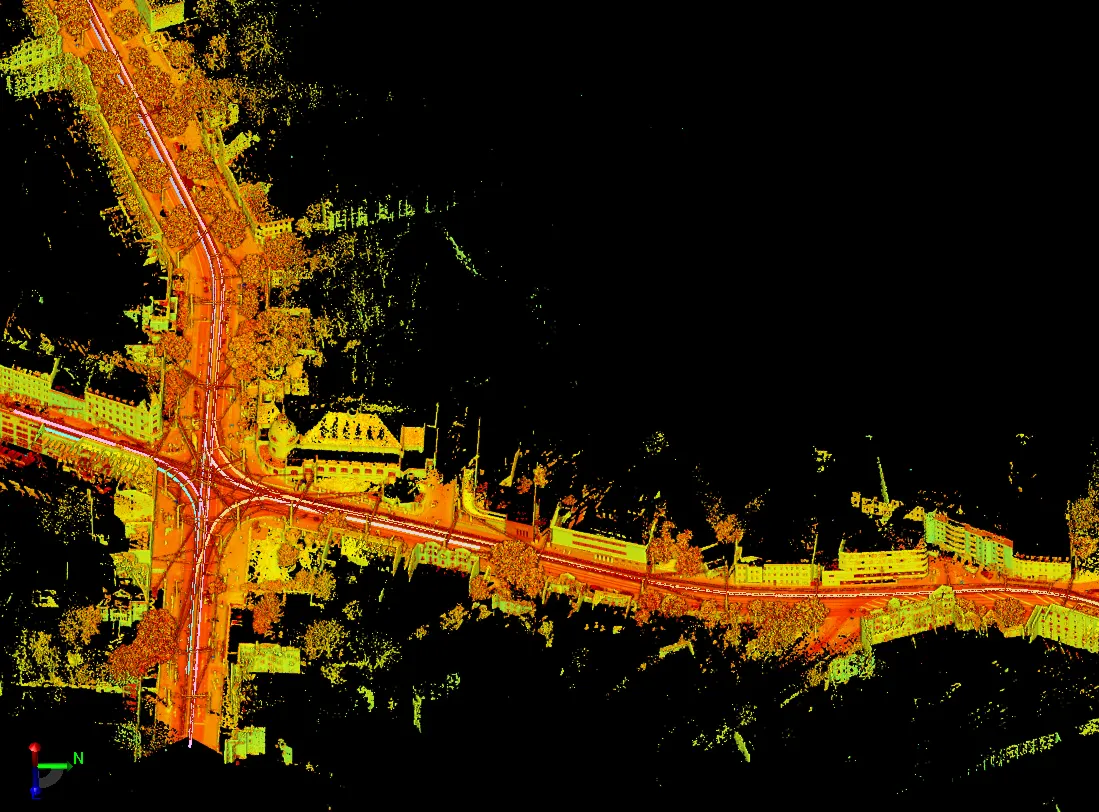
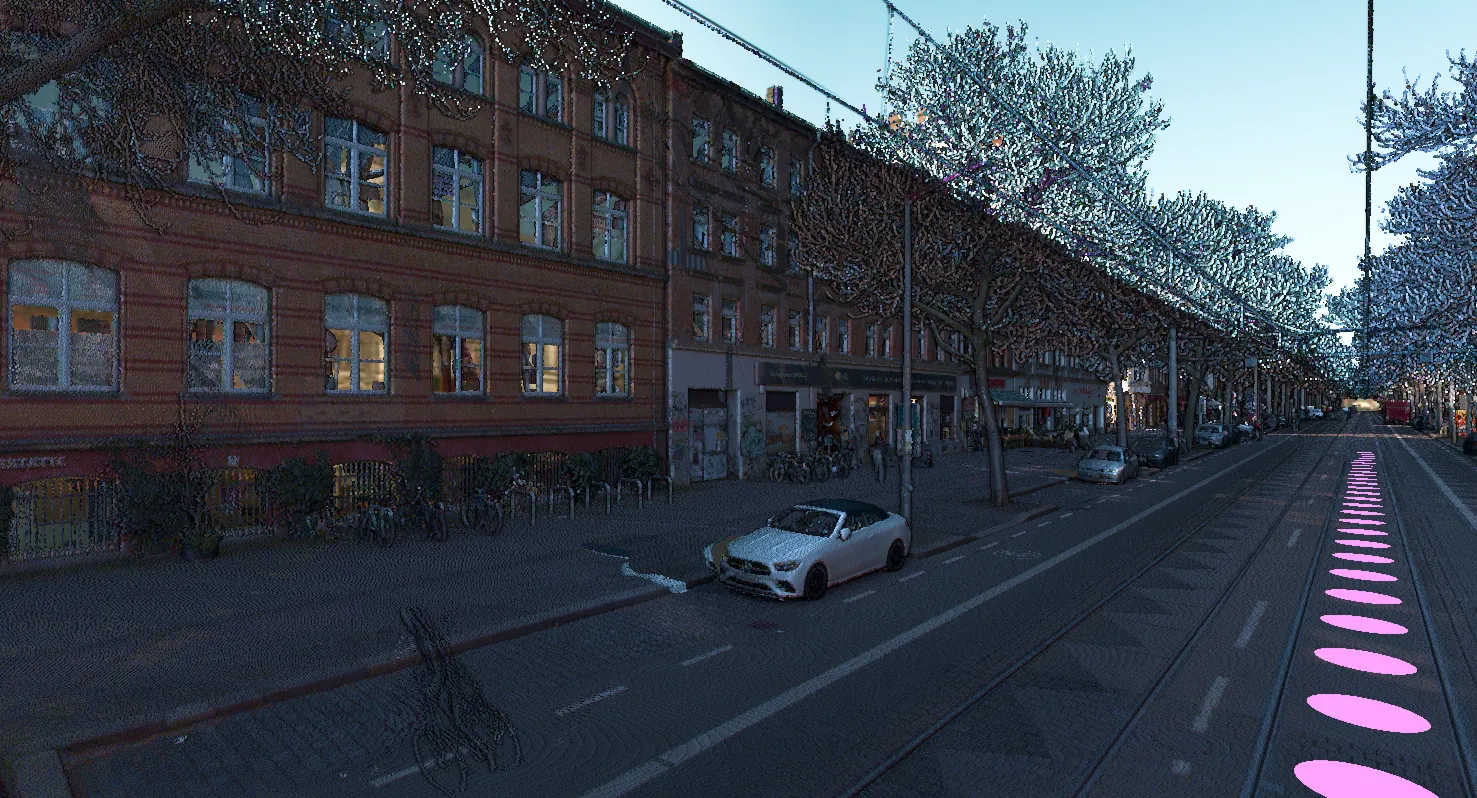
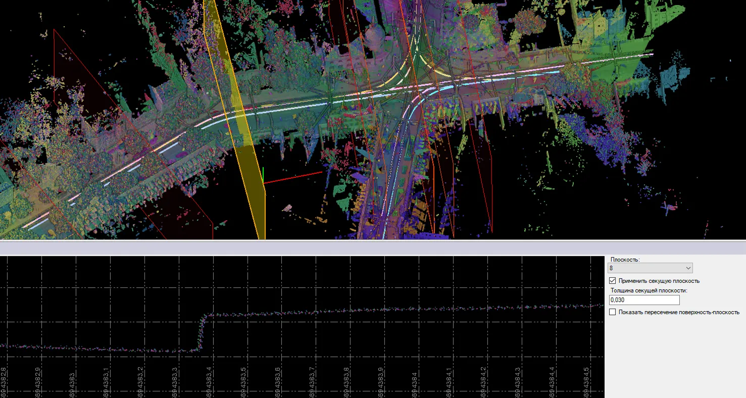
The Archizem engineering team performed the registration of point clouds captured with the Trimble MX9 mobile mapping system during a survey of tramway infrastructure. As data acquisition was performed in motion, geodetic control points were utilized to refine the scanner trajectory and ensure precise georeferencing, achieving a final registration accuracy of 1–2 cm.
The registration process involved aligning the mobile mapping trajectories to the control points. This was complemented by a semi-automated workflow that matched trajectories against reference data to consolidate multiple scans into a unified, accurate coordinate system. This methodology guaranteed high data integrity even in complex urban corridors.
As a result, the client received a spatially aligned and metrologically accurate point cloud, ready for creating digital models, conducting as-built assessments, and generating technical drawings.