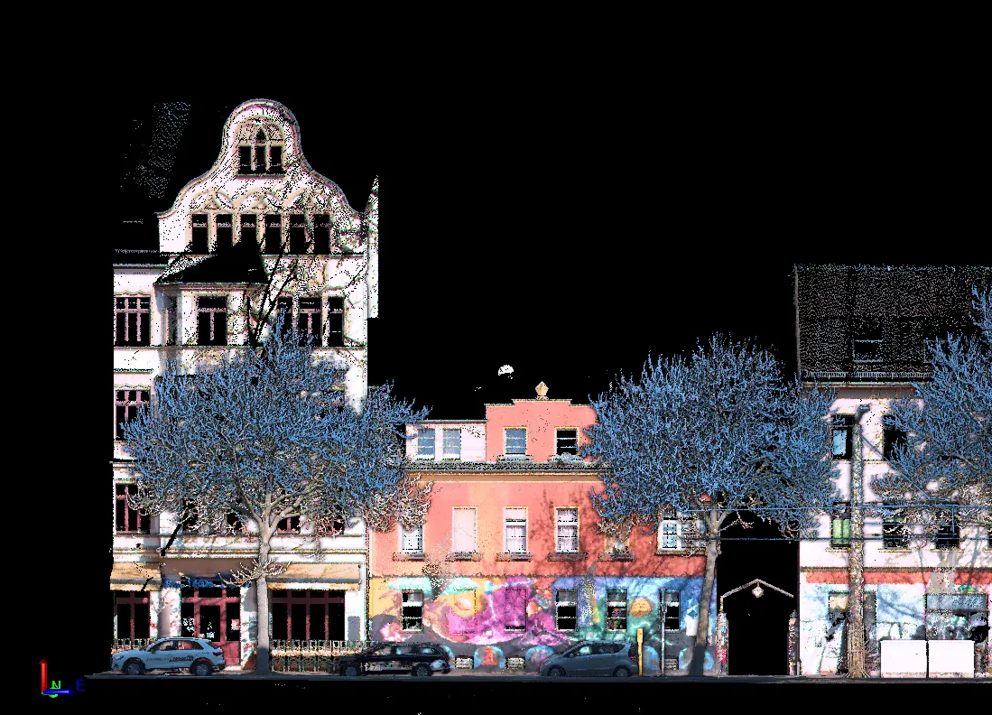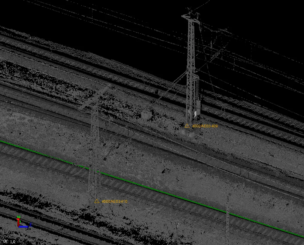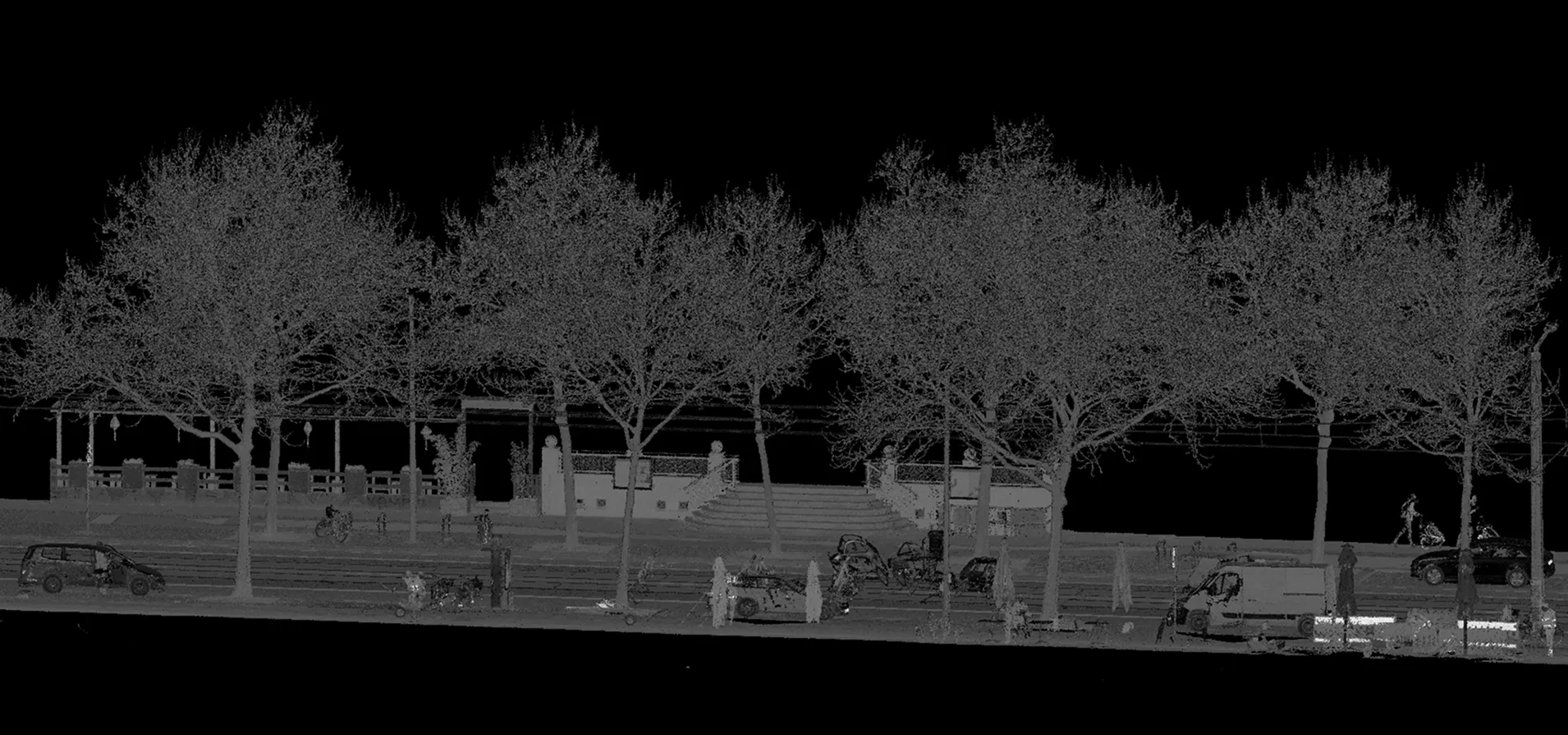
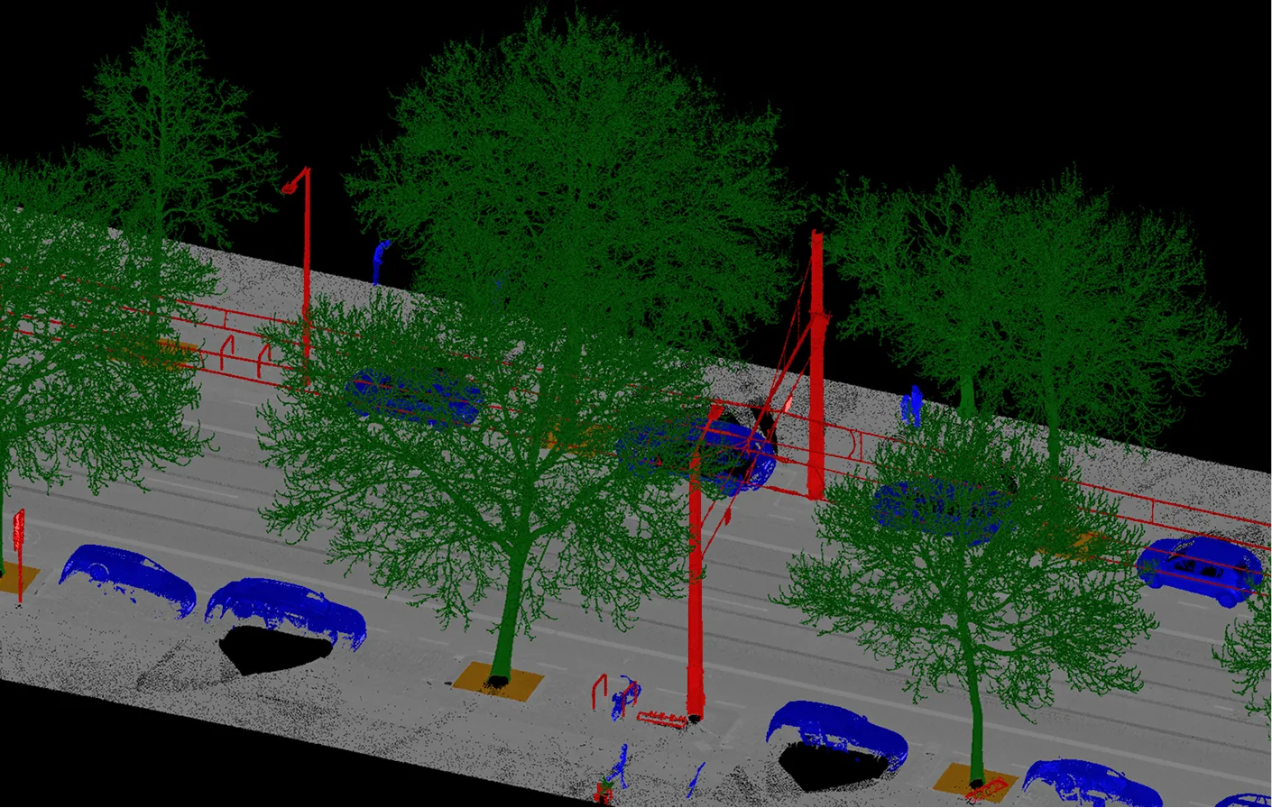
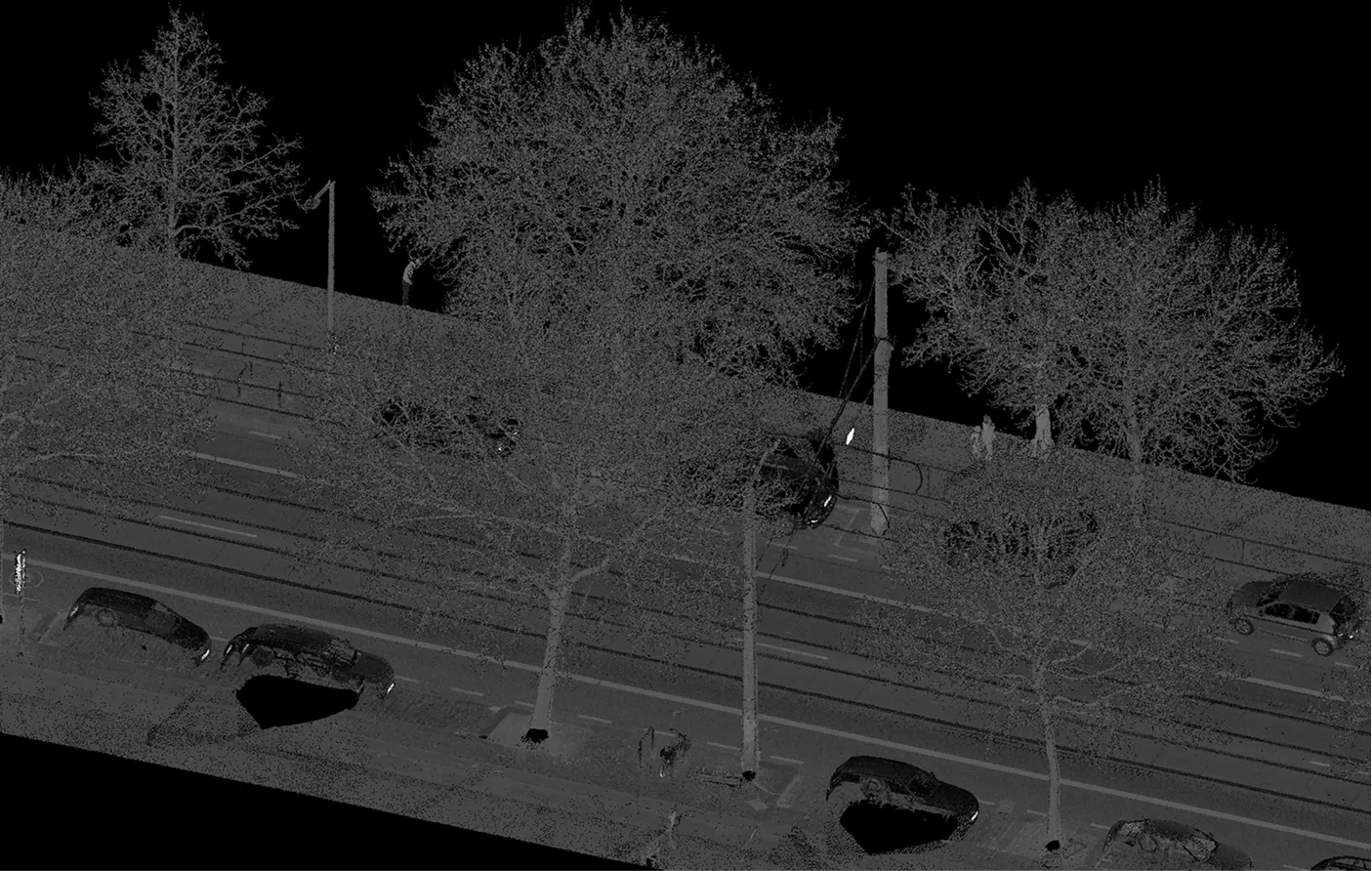
As part of data preparation for a tramway corridor project, Archizem executed point cloud classification based on datasets captured with the Trimble MX9 mobile scanning system. During processing, the main object classes within the urban environment were identified, including buildings, dynamic objects, road surfaces, ground, vegetation, noise, and other urban features.
A hybrid classification workflow was applied: initial automated processing was followed by comprehensive manual review and refinement. This approach ensured maximum classification accuracy, significantly improved data structure, and minimized errors inherent in the raw source material.
Consequently, the client received a well-organized and semantically structured point cloud. This optimized dataset enables the efficient subsequent creation of digital terrain models, 3D models, topographic plans, and technical drawings.