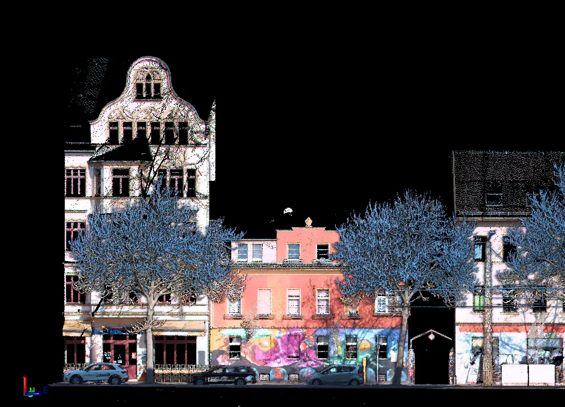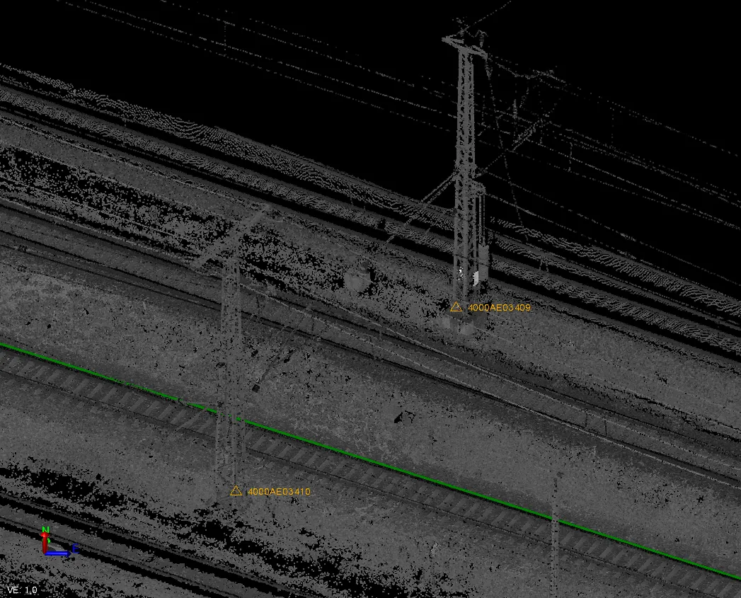
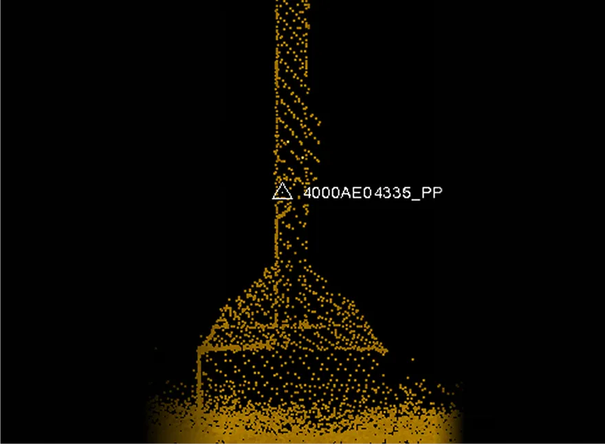
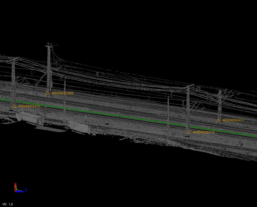
Archizem specialists completed the registration of point clouds captured with the Trimble MX9 mobile mapping system during a survey of rail network infrastructure. Since data was collected in motion, the absolute accuracy was enhanced by refining the trajectory using survey targets installed on the ground and on structures. The achieved registration accuracy was up to 3 cm.
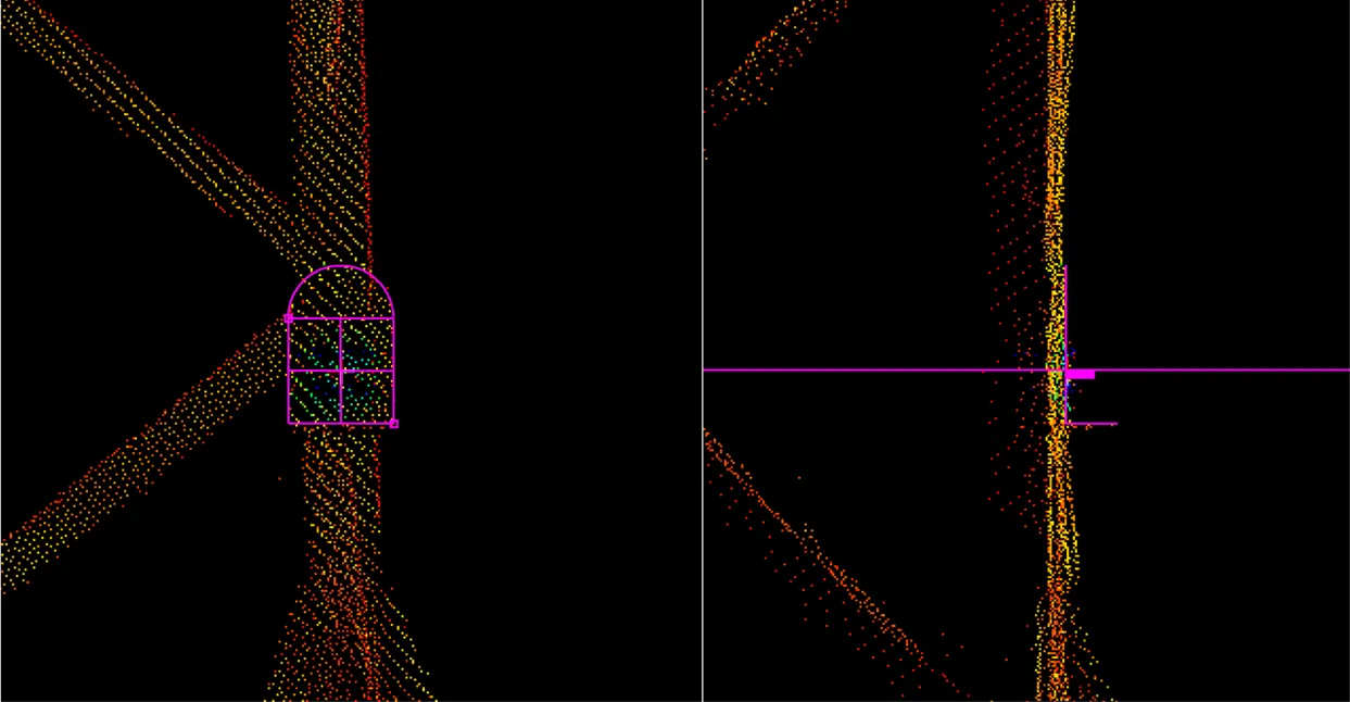
The registration was accomplished through manual identification and matching of targets within the point cloud. Selected trajectory segments were further processed using automated registration against reference trajectories, which enhanced processing efficiency while maintaining rigorous quality standards.
The delivered spatially consistent and geodetically accurate point cloud is suitable for building detailed digital models, assessing the current condition of railway assets, and producing technical drawings. The use of survey targets provided higher accuracy compared to a fully automated registration approach.