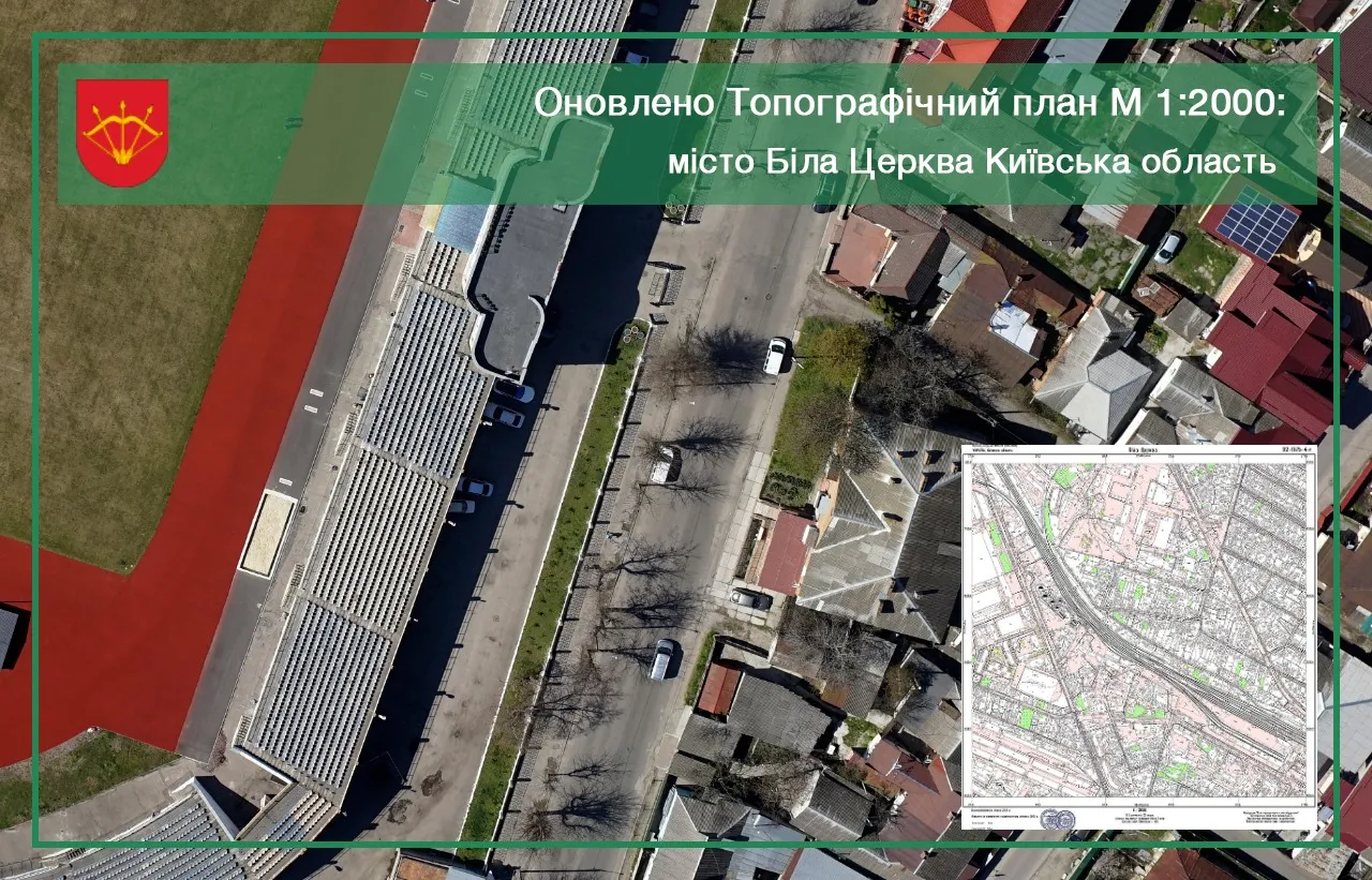


On October 25, 2021, specialists of the cartography department of the company “Archizem” completed the updating of the topographic plan of the scale 1:2000 of the territory of the city of Bila Tserkva in the Kyiv region.
The update of the topplan was carried out within the framework of the updating of the urban planning documentation of the city of Bila Tserkva by the Archizem group of companies.
In the course of the work on updating the topographic plan, we carried out the following works:
- collection and analysis of source data,
- field searches,
- cameral processing of field survey materials.
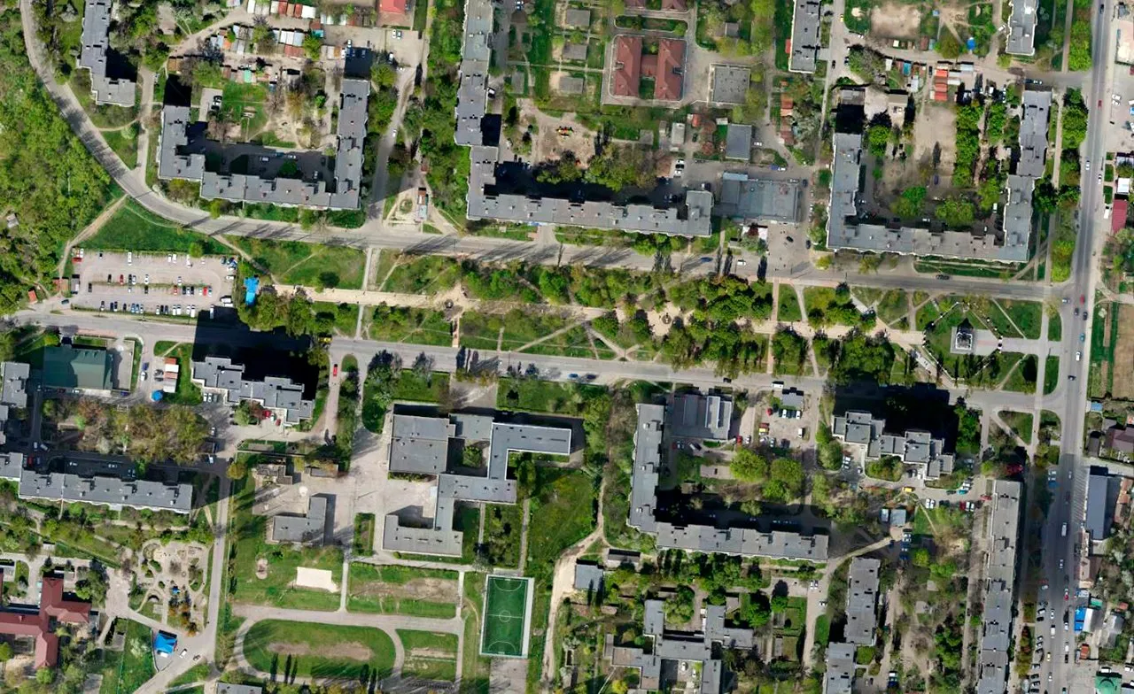
In September-October 2021, specialists of the Department of Cartography and Photogrammetry conducted the collection and analysis of the source data, performed aerial photography of the terrain, survey of points of the state geodetic network (DGM), geodetic removal of the plane-height base, field decryption of the terrain, and tacheometric shooting.
Based on the data received, the company's specialists conducted a cameral processing of the results of field work and in October completed work on updating the topographic plan, which was imported into a single database of geodata software ArcGIS, with reference to the local coordinate system MSK-32 and the state coordinate system USK-2000.
It should be noted that digital sets of geospatial data are formed in accordance with the adopted regulatory documents, in particular in accordance with the provisions of the Law of Ukraine “On National Geospatial Data Infrastructure”, which allows downloading and publishing geospatial data on the official website or geo-portal of the city of Bila Tserkva. In addition, the digital version of the topplan allows you to use it to form extracts of information, as well as to make changes and additions to the geodata database.
As a result, the materials of the updated topographic plan on the nomenclature sheets M 1:2000, as well as the digital version of the topographic base in the geodata format *.gdb (ArcGIS), *.dwg (AutoCAD), *.dmf were transferred to the Department of Urban Planning and Architecture of the Belotserkivsk City Council (Digitals), *.shp, as well as in *.pdf and *.jpg formats.