The Land Surveying Union Consortium has successfully completed the delineation of the boundaries of the Shatsk settlement territorial community in Kovel District, Volyn Region, and registered these boundaries in the State Land Cadastre. The entire process, from collecting initial data to obtaining an extract from the State Land Cadastre, took four calendar months.
At the end of August 2024, the Land Surveying Union Consortium began preparing a land management project to establish the boundaries of the Shatsk settlement territorial community under a contract with the USAID Governance and Local Accountability (HOVERLA) Activity.
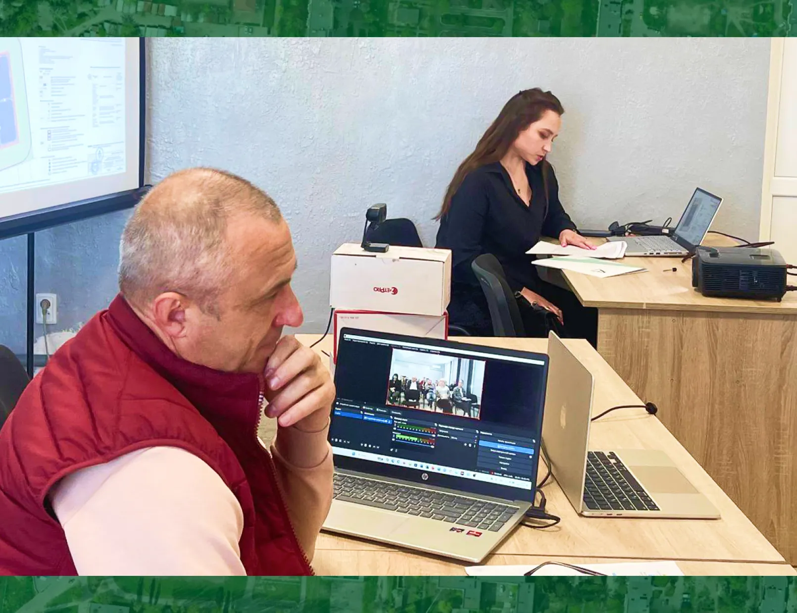
One of the key stages of our work was delineating the boundaries of the Shatsk territorial community, which involved a number of critical steps:
1. Collecting and analysing initial materials to define the community boundaries.
2. Preparing a land management project in full compliance with the legislation of Ukraine.
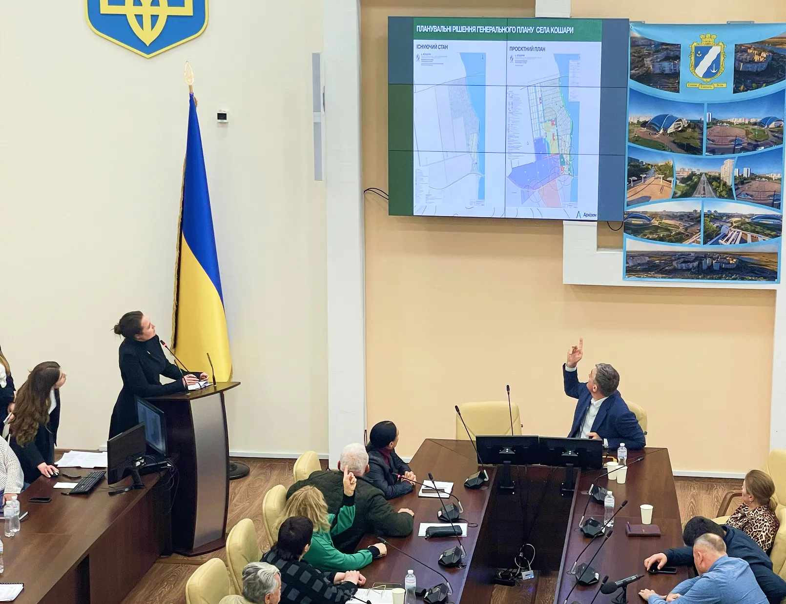
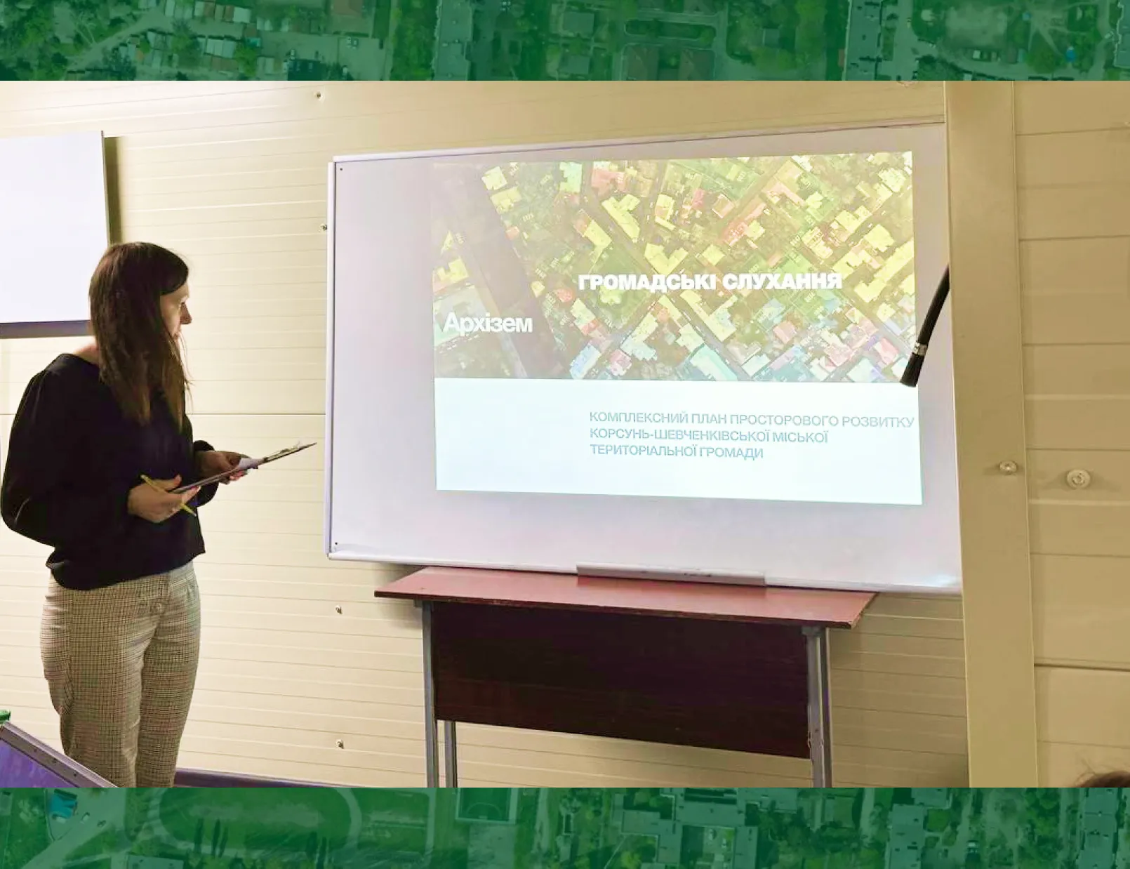
3. Securing the required reviews and approvals of the project in accordance with the Land Code of Ukraine.
4. Registering the community boundaries in the State Land Cadastre to ensure their official recognition.
All project activities were carried out in accordance with applicable legislation, in particular the Land Code of Ukraine, the Law of Ukraine “On Land Management”, as well as a number of other regulatory acts.
Thanks to the high level of professionalism and the use of proven technologies, the team of specialists of the Land Surveying Union Consortium, with the comprehensive support of the staff of the Shatsk Settlement Council, successfully addressed numerous challenges, including difficulties in obtaining initial data, overlapping land parcels and agreeing on the boundaries of the Shatsk settlement territorial community.
As a result of the well-coordinated cooperation between the Land Surveying Union Consortium and the Shatsk Settlement Council, with the support of the USAID Governance and Local Accountability (HOVERLA) Activity, clear and officially approved boundaries of the Shatsk settlement territorial community have been established.
The Land Surveying Union Consortium reaffirms its reputation as a reliable partner in the implementation of complex land management projects, contributing to community development and to strengthening the legal basis of territorial governance in Ukraine.