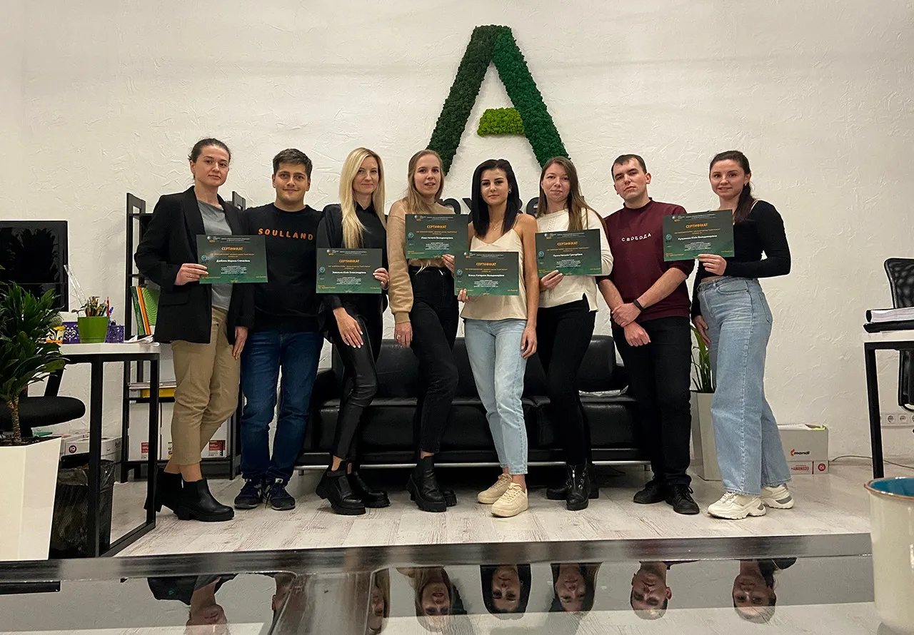
From November 5 to 7, employees of the cartography department of the company “Archizem” completed advanced training courses on working with ArcGIS software (“ArcGIS Desktop10.x. for cartography”), as a result of which they received a lot of new practical skills for creating digital topographic plans of scale 1:2000 in the ArcMap 10.x environment x. This will allow our cartographers to perform topographic work more productively and efficiently in the GIS environment.
ArcGIS software complex is a specialized software that allows you to optimize operations for processing and analyzing geospatial data. The central application of the ArcGIS software is the ArcMap application, which is used to map and research sets of geodata. With it, you can set conventions, create and edit datasets, and print data.
The course program is aimed at improving the qualifications of the employees of the company “Archizem” when working with the ArcGIS software complex in the field of cartography.
The team of the company “Archizem” thanks the GEONICS team and Alexander Podlisny personally for an interesting and useful course!