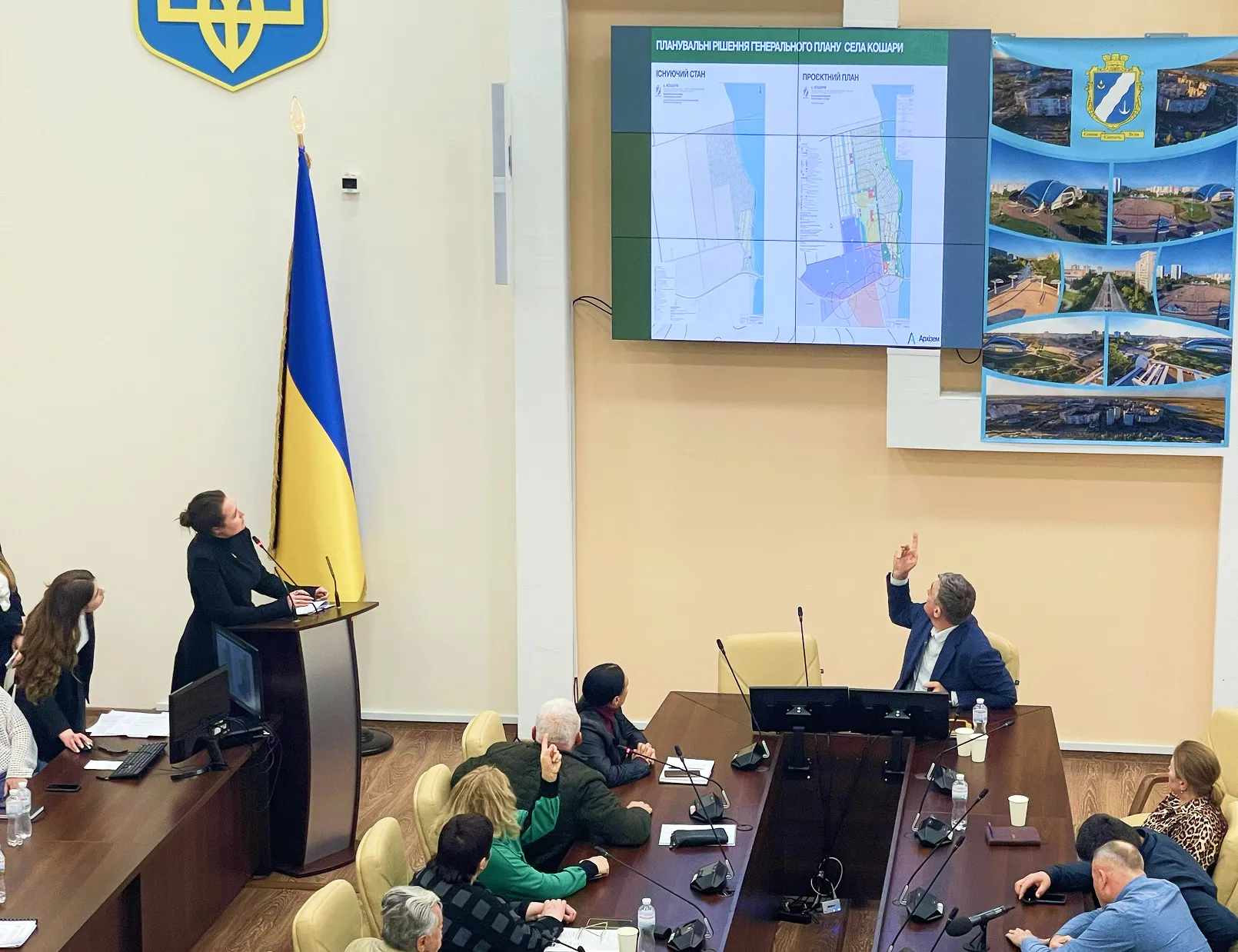
On February 3, 2022, the architectural and urban planning council of the Mykolaiv regional state administration in online format considered master plans of villages: Tuzly Koblivska AHG of Mykolaiv district, Kozubovka of Mostovska AHG of Voznesensky district and Galitsinove of Galitsinovsk district of Mykolaiv district Mykolaiv region.
The urban planning documentation was developed by the leading architects of the Odesa architectural department — Kateryna Kucherenko, Ulyana Medinska and Yulia Pichuga. Council members adopted the master plans without comment and approved the transfer of documentation to local governments.
The village of Tuzly is located 26 km east of the community center — the village of Koblevo and 10 km from the M-14 road “Odesa-Melitopol-Novoazovsk”. The first settlements appeared here at the end of the 18th century. Near the village are the territories of the all-European nature conservation significance of the Emerald Network, the land of the “Ochakiv Forestry”, the national natural park “Beloberezhzhya Svyatoslav”, the lake Solonets Tuzla and the Black Sea.
It should be noted that in 1887 the village of Tuzly became the center of salt extraction in the south of Ukraine. Maxim Gorky worked on the salt industries of this lake. Here the action of the autobiographical story “On the Salt” takes place. Currently, the mud and salt of the lake have healing properties, which was taken into account in the development of the master plan of the village of Tuzli.
The project plan provides for the development of social infrastructure, engineering equipment and residential areas. Given the favorable geographical location of the settlement, the project plan envisages development in the resort and wellness direction.
The village of Galitsinove is the administrative center of the community, located 20 km south of Mykolaiv and on the banks of the Buga estuary. Near the village there is a botanical monument of nature “Starogolytsinovsky”.
The solutions of urban planning documentation are aimed at the comprehensive development of the socio-social and economic sphere of the settlement. The master plan envisaged: ASAP, bank branch, leisure center, sports complex, church, parks, squares with children's and sports grounds, as well as the expansion of the territory of the kindergarten and the recreation of a small pond in the village center.
At the design stage, it is envisaged to restore the economic unit in the south of the settlement, namely the reconstruction of existing and the creation of new warehouse, agricultural and manufacturing enterprises.
Kozubovka is located 28 km northeast of the community center — the village Mostove and 18 km west from the district center — the town of Voznesensk. Near the village flows the Chertalka River, a right tributary of the Southern Bug, which here forms the picturesque tract “Moldavka”. The settlement has a developed social and economic infrastructure, which is currently in decline.
Decisions of urban planning documentation are aimed at the comprehensive development of the territory of the settlement. The master plan provides for the renovation of transport infrastructure, engineering and the use of garden and residential development for the temporary stay of tourists. Also, the master plan noted the need to build a road to restore transport links with other settlements.