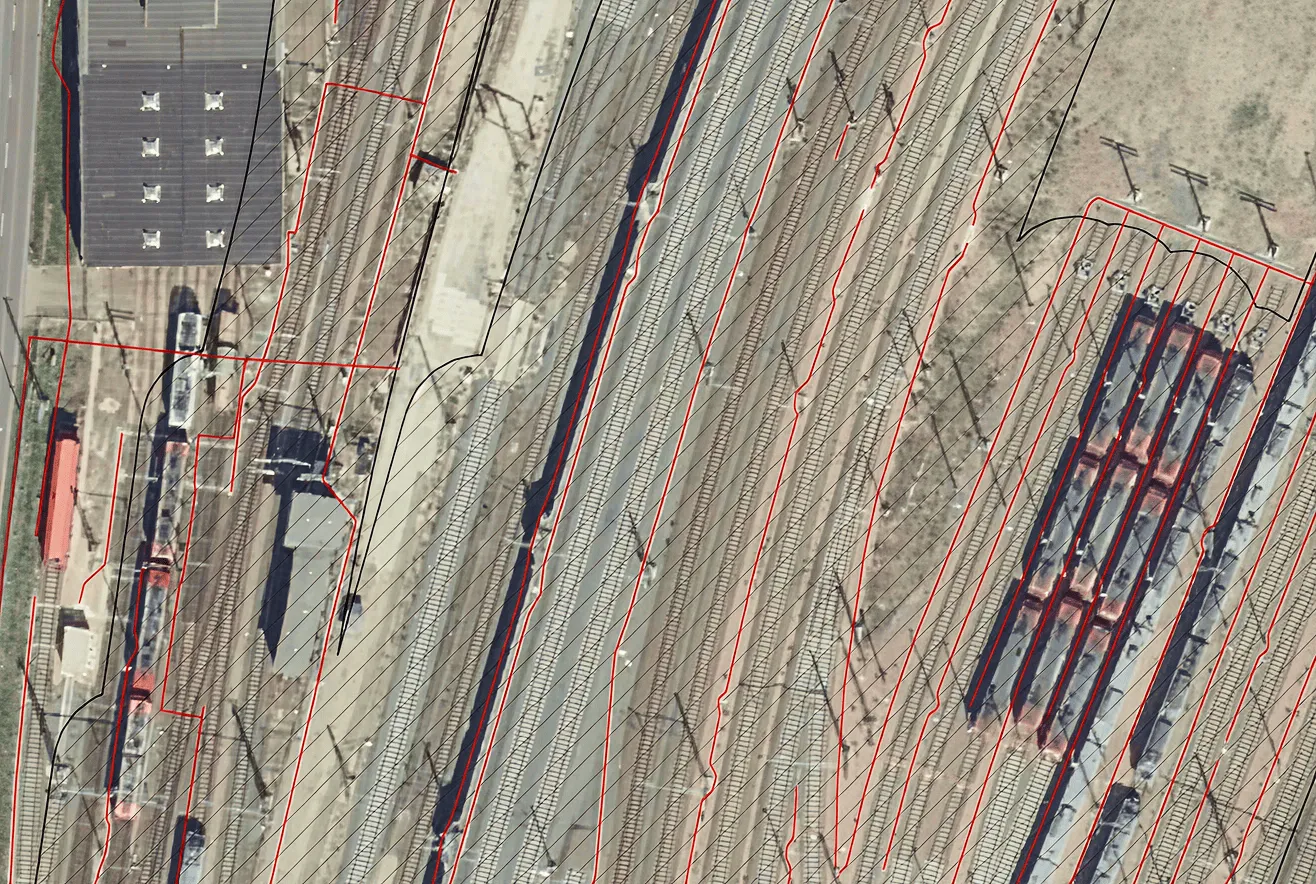


Archizem specialists prepared a digital topographic base map for the territory of a territorial community in Odesa Oblast at a scale of 1:2,000. The work was delivered as a single, seamless dataset in accordance with applicable regulatory requirements and the adopted classification and coding system in geodesy and cartography, with a 1.0-meter contour interval.
The topographic and geodetic works included inspection of State Geodetic Network control points, aerial surveying, establishment of planimetric and vertical control networks, and tacheometric surveying using GNSS receivers and total stations.
Data processing and compilation were performed in Delta/Digitals software using stereo mode for terrain modeling. The final dataset was converted into ArcGIS formats to support subsequent design and analytical workflows.
Deliverables were provided in the following formats: