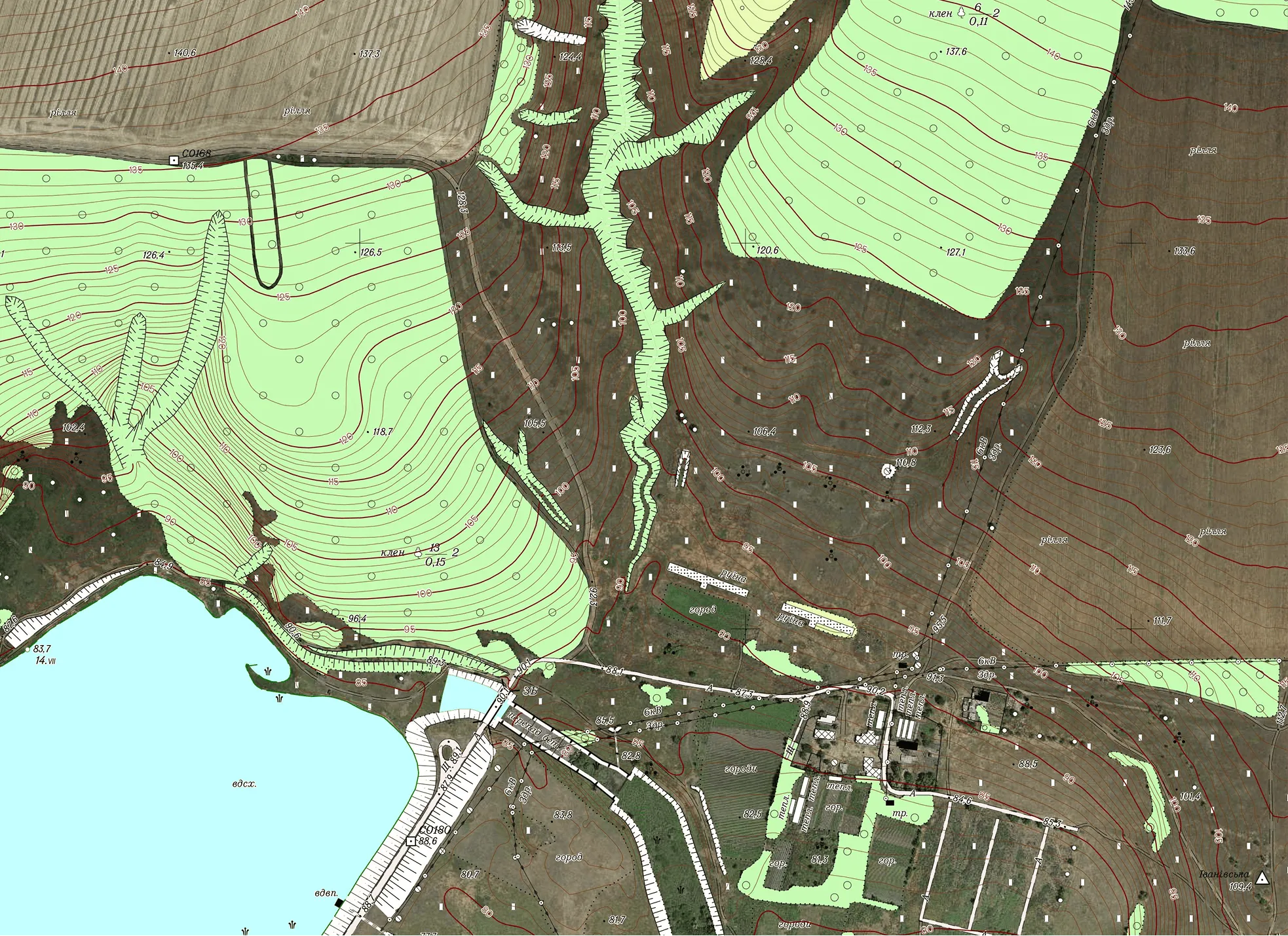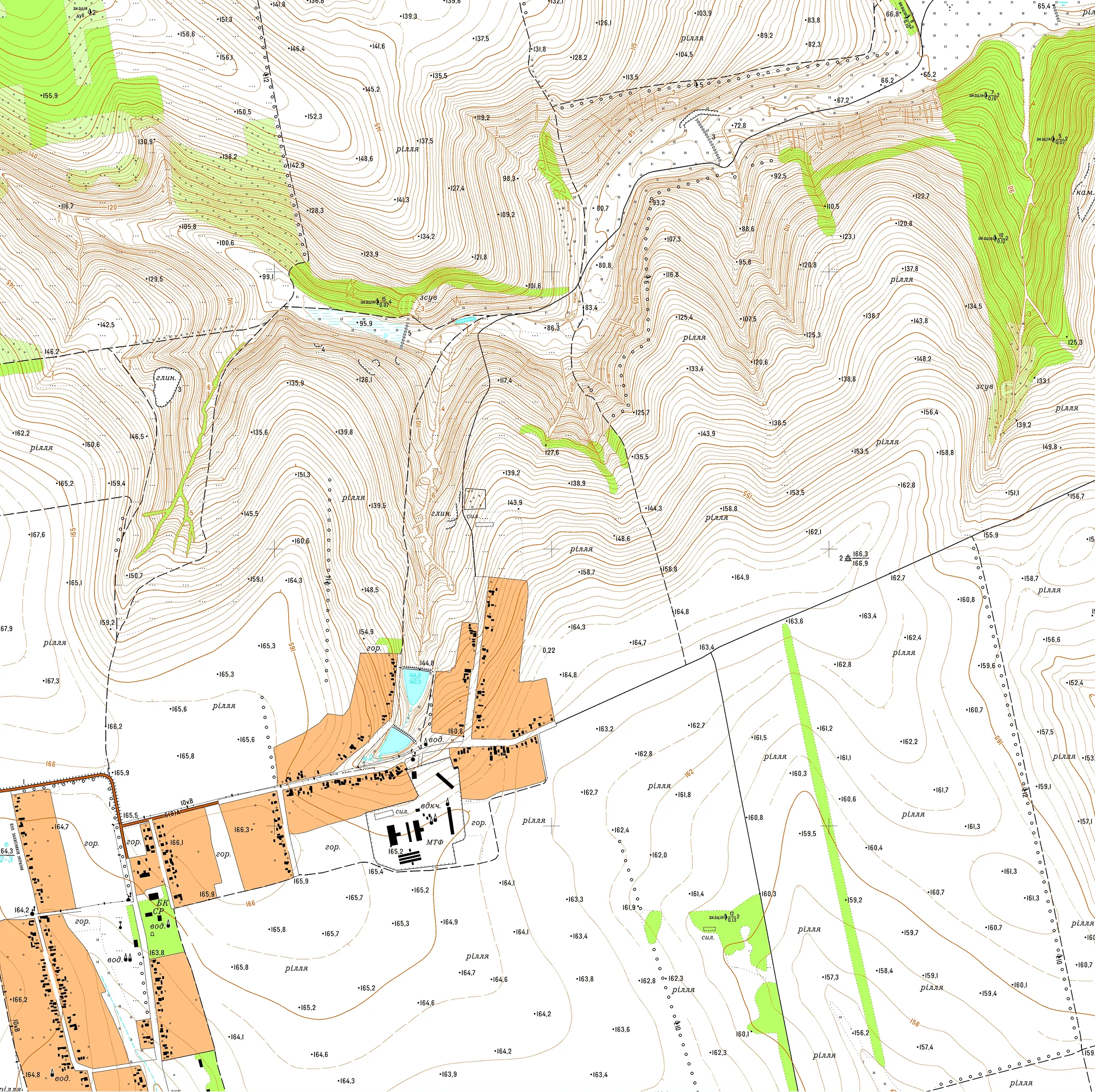

For a territorial community encompassing 23,000 ha, Archizem specialists produced a seamless digital topographic base at a scale of 1:10,000. The work was executed in accordance with all applicable geodetic and cartographic standards. Data collection involved topographic and geodetic surveying using electronic total stations and GNSS receivers across the entire area.
The processed materials were finalized in ArcGIS to create comprehensive digital and cartographic outputs. The resulting dataset contains the full feature set required for the 1:10,000 scale, organized into core thematic layers:
Deliverables included both hard copy and digital components. The digital topographic base was provided as: