Digital Topographic Base at a Scale of 1:10,000 for a Territorial Community (USAID Project)

2025
No items found.

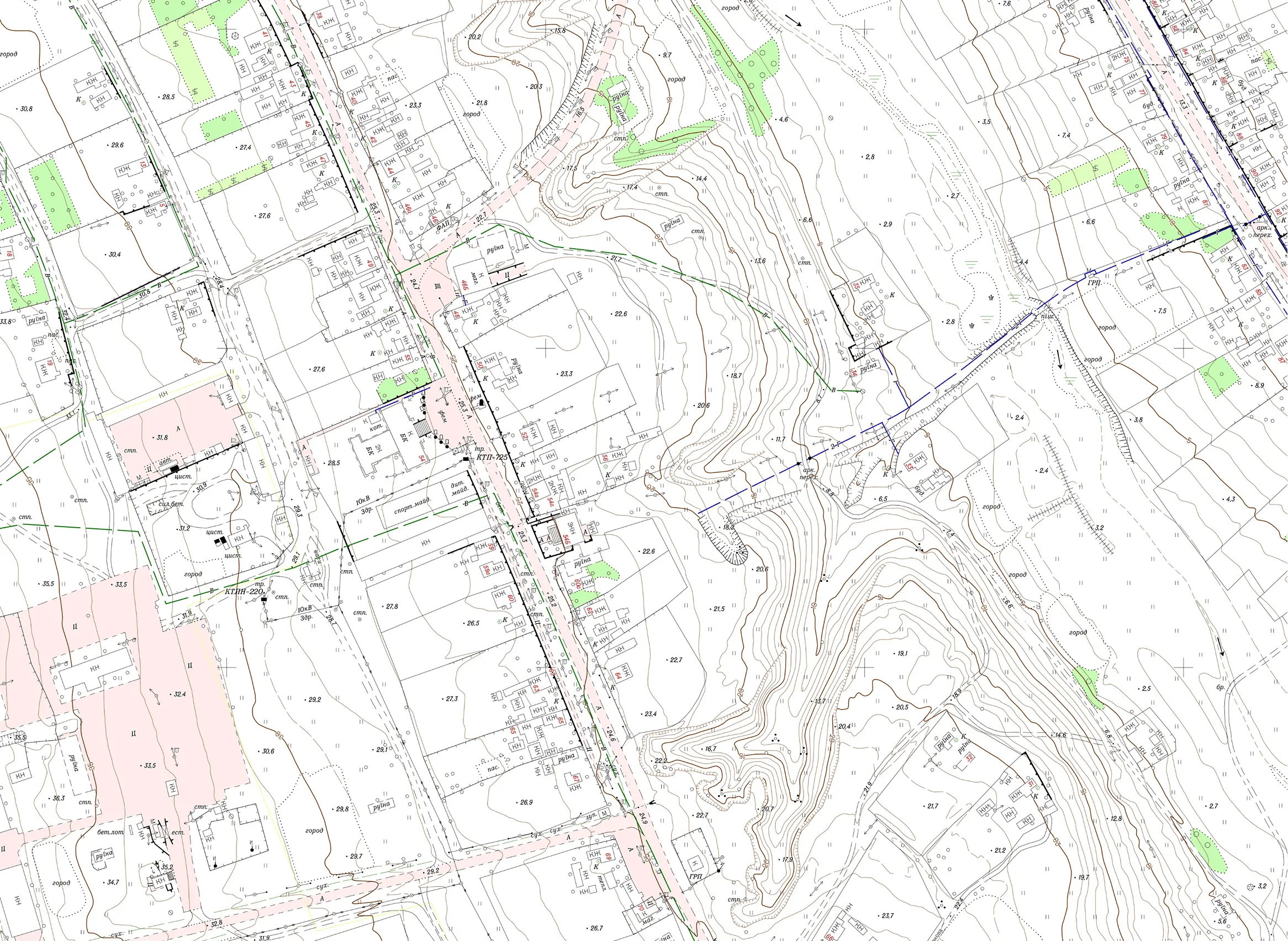
To support spatial planning needs, Archizem specialists produced a digital topographic base at a scale of 1:10,000 for a settlement territorial community in Volyn Oblast. The work was performed under the USAID Governance and Local Accountability (HOVERLA) Activity, commissioned by DAI Global, LLC (DAI).

Due to airspace restrictions in Ukraine preventing aerial photography, the base was compiled using up-to-date satellite imagery with a 40 cm/pixel resolution. To ensure proper geodetic control, the team inspected available points of the State Geodetic Network.

The office processing phase included feature and terrain vectorization, topological consistency checks, attribute population, and merging of vector layers into a seamless dataset. Following office interpretation, field verification was carried out, supplemented by total-station surveying of objects identified on site using GNSS technologies. Final deliverables were prepared in ArcGIS in compliance with applicable topographic classification requirements for the given map scale.

Deliverables included:

  • An ArcGIS File Geodatabase with associated map documents;
  • Map sheet exports in PDF format.

Similar projects:

Digital Cartographic Base at a Scale of 1:2,000 for Settlements in Kyiv Oblast

The Archizem team produced a cartographic base at a scale of 1:2,000 in accordance with the “Basic Provisions for Creating Topographic Plans at Scales 1:5,000, 1:2,000, 1:1,000 and 1:500”, and in compliance with all applicable regulations in the field of geodesy and cartography. The total area covered by topographic and geodetic surveys at the 1:2,000 scale was approximately 1,200 hectares.
SEE DETAILS

Digital 1:10,000 Topographic Base for a Territorial Community (21,300 ha)

The Archizem team developed a seamless digital topographic base at a scale of 1:10,000 for a territorial community with an area of 21,300 ha. The materials were compiled in full compliance with applicable regulatory requirements, adhering to the standard topographic feature classification and coding system. The data are referenced to the local coordinate system used in Poltava Oblast and feature a contour interval of 1.0 meter.
SEE DETAILS

Free data audit and calculation — within 24 hours.

Submit your request

Our specialists will conduct a free analysis of your source data and provide a detailed proposal with cost and timelines within one business day.
Grazie! Your submission has been received!
We have received your request and will contact you shortly
Oops! Something went wrong. Please try again.