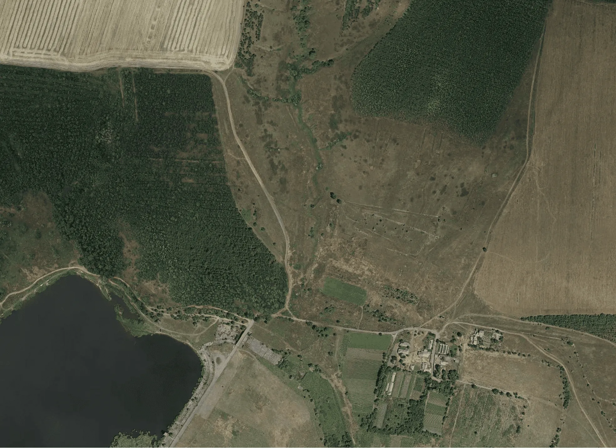

Archizem developed a digital topographic base at a scale of 1:5,000 for areas located outside settlements, supporting the preparation of local-level urban planning documentation. The total surveyed area amounted to 25,448 ha.
The project followed a consistent production workflow integrating field and office work to ensure the completeness and reliability of spatial data for planning purposes. Key stages included aerial surveying, establishment of planimetric and height control networks, total station surveys, and comprehensive office processing of all field measurements.
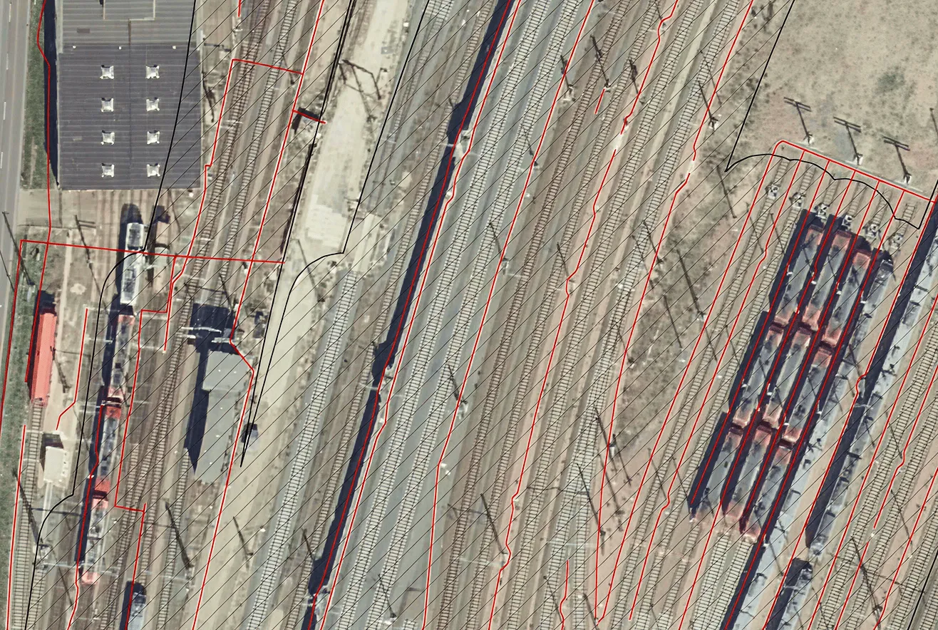
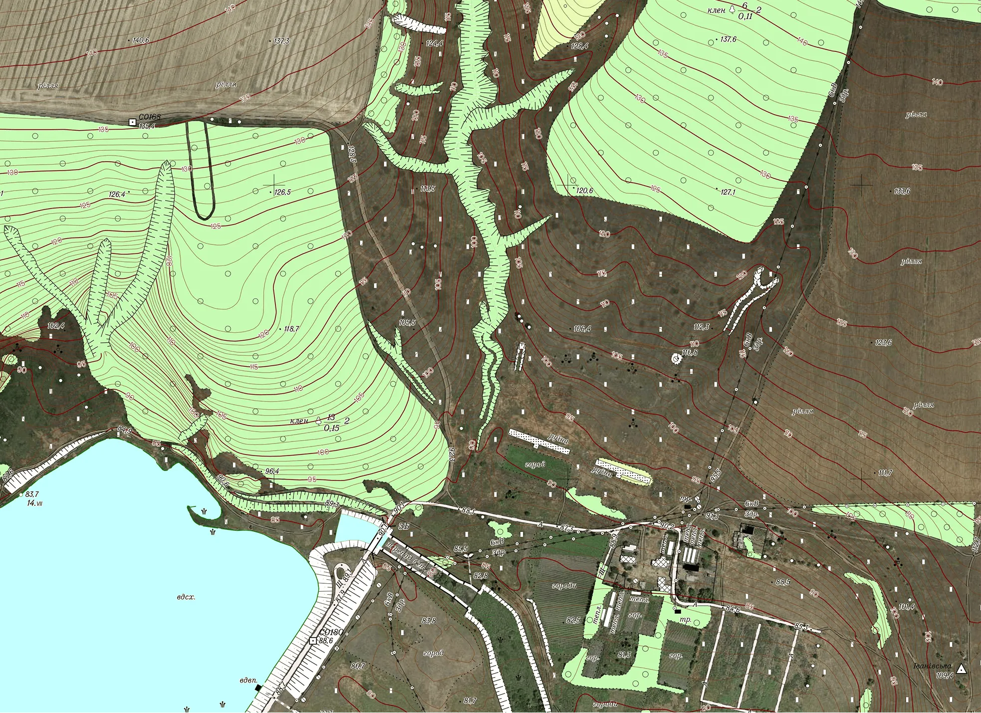
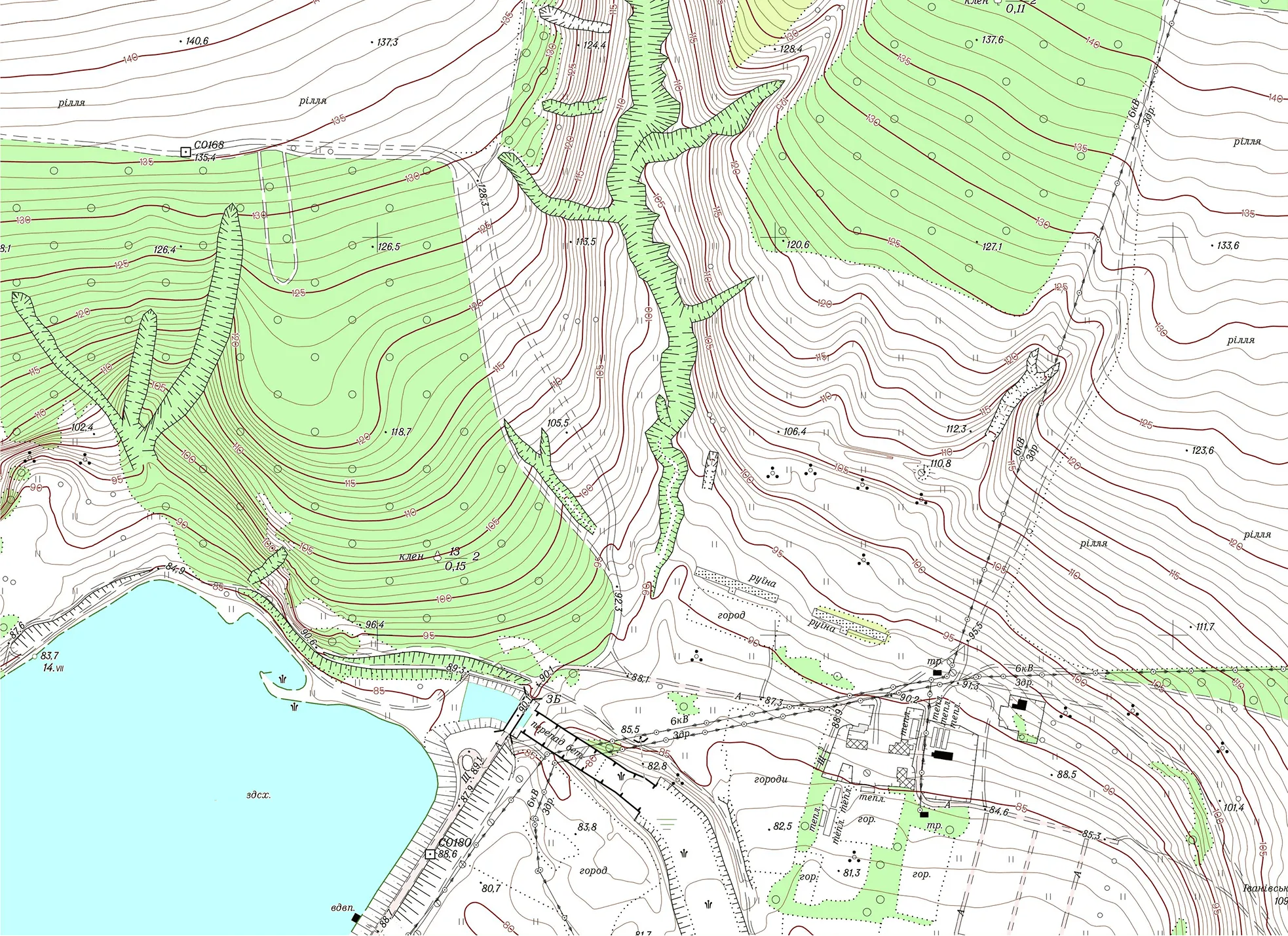
The result is a continuous digital topographic dataset compliant with all applicable geodetic, cartographic, and sectoral regulatory requirements of Ukraine. The dataset is structured according to the national standards for topographic information classification and symbolization.