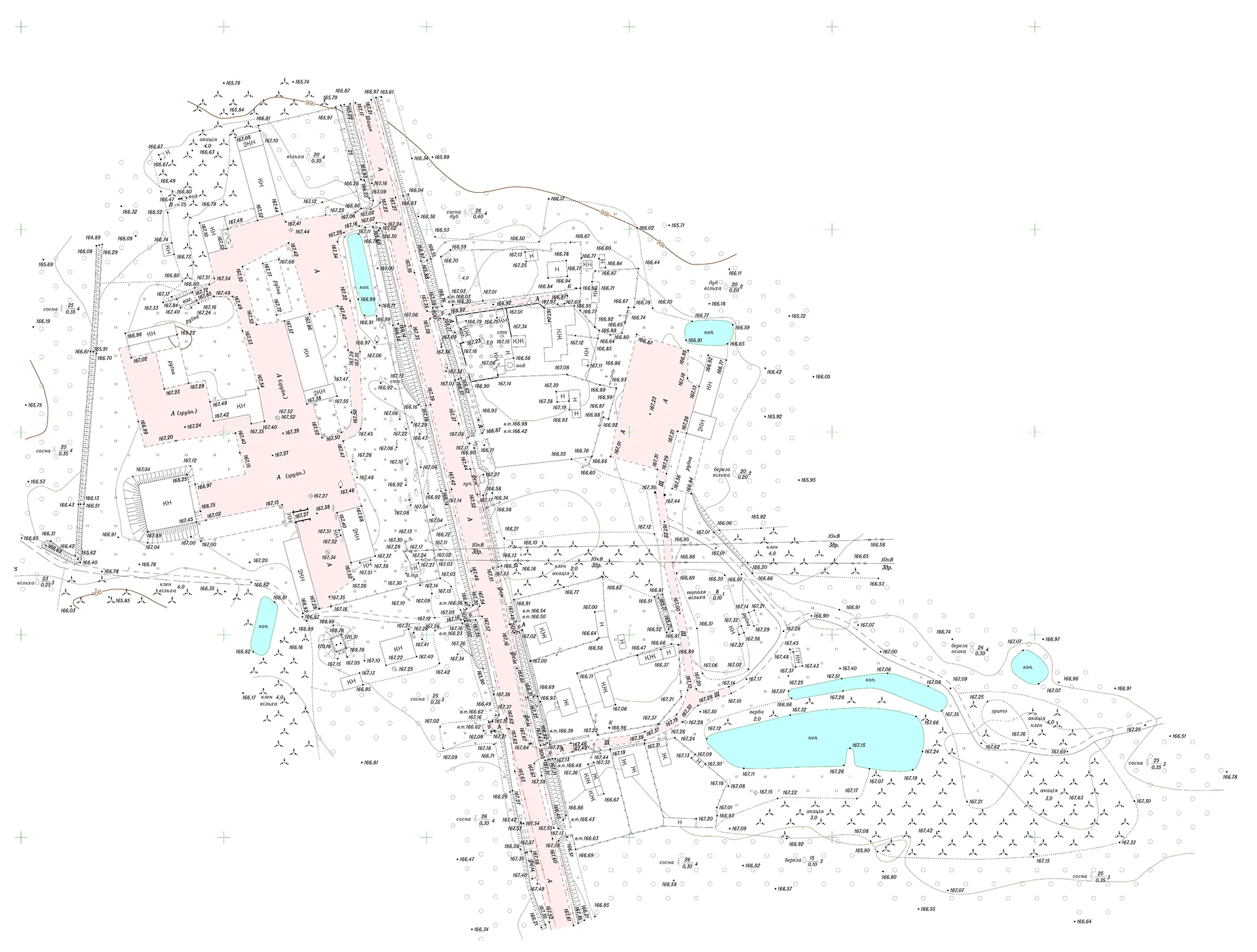
Archizem created a topographic base at a scale of 1:5,000 to support the inventory of agricultural land areas. This detailed thematic map serves as a foundation for documenting and analyzing land assets, including engineering infrastructure, buildings, natural resources, and site improvements.
Key elements featured on the 1:5,000 map include:
The outputs were delivered in both paper and digital formats. Digital deliverables comprised vector data in .dmf, .dwg, and .shp formats.