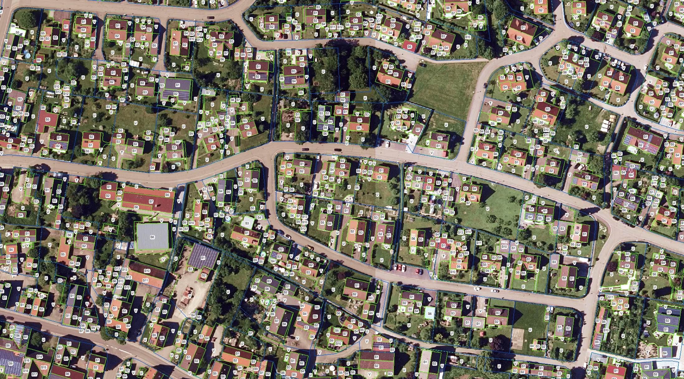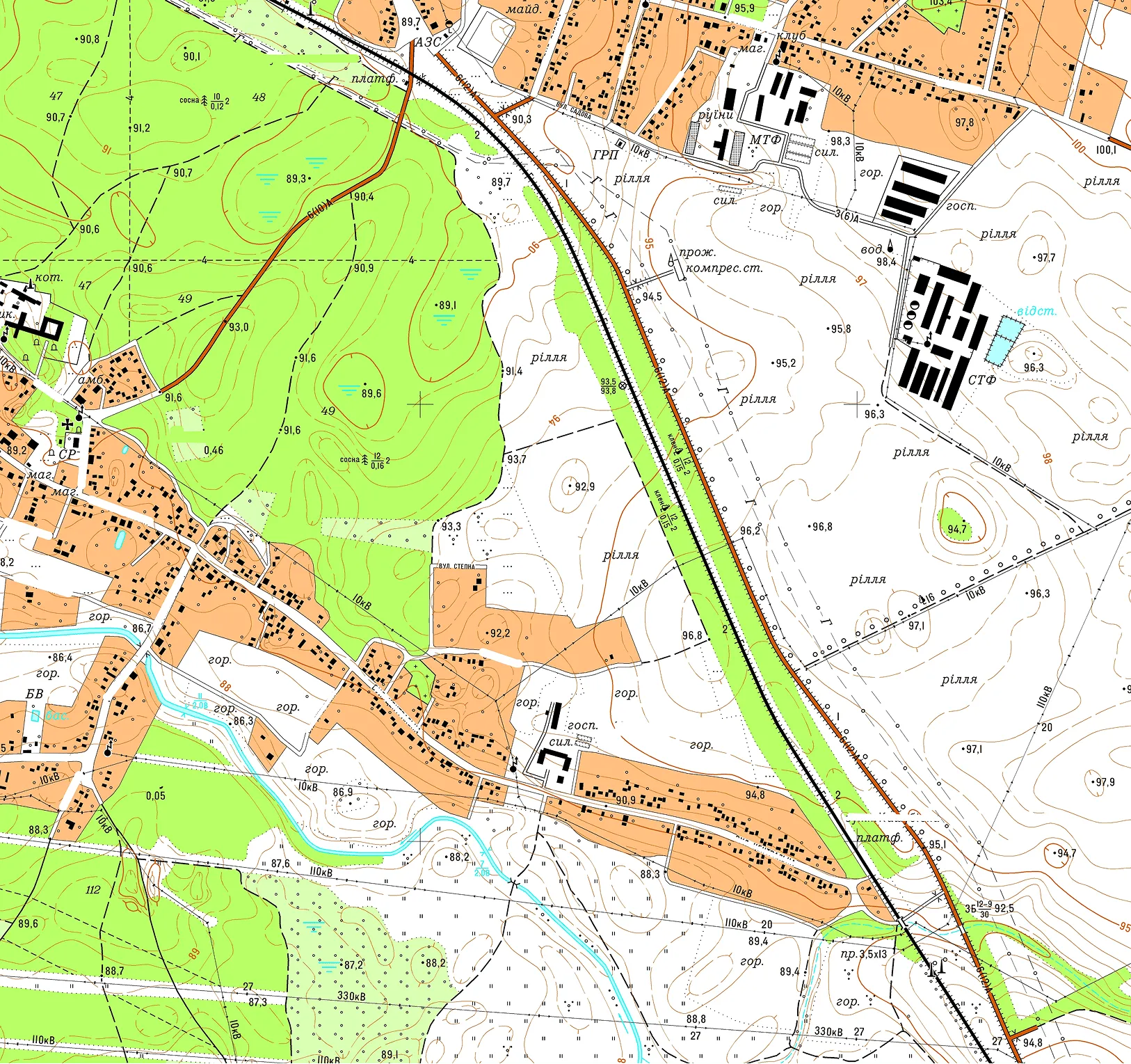
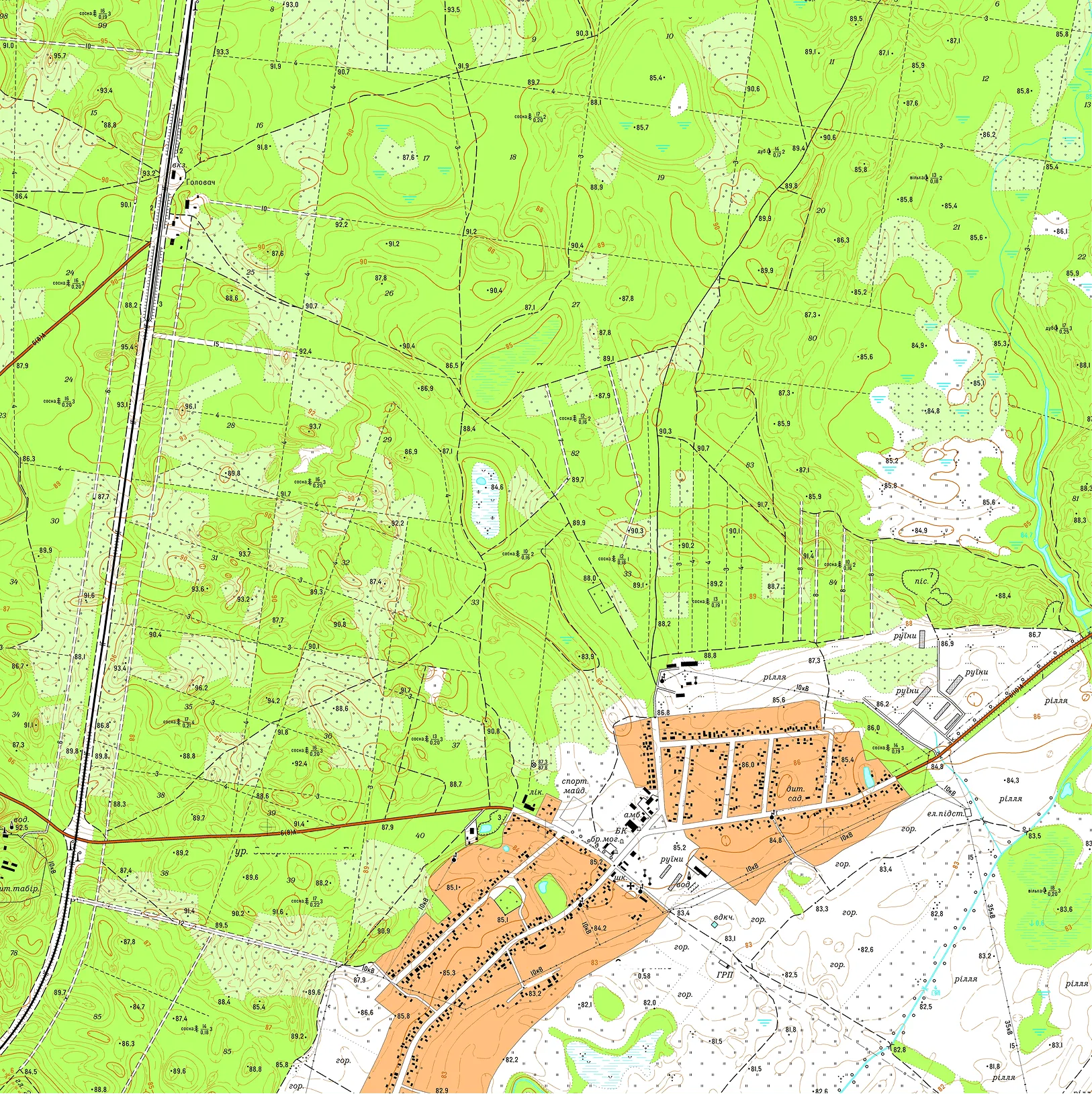
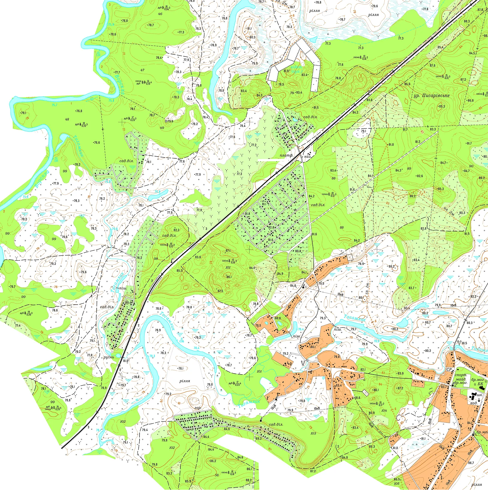
The Archizem team developed a seamless digital topographic base at a scale of 1:10,000 for a territorial community with an area of 21,300 ha. The materials were compiled in full compliance with applicable regulatory requirements, adhering to the standard topographic feature classification and coding system. The data are referenced to the local coordinate system used in Poltava Oblast and feature a contour interval of 1.0 meter.
All survey materials were processed and integrated within the ArcGIS environment to create final digital, electronic, and cartographic deliverables. The resulting topographic base for the Tereshkivska Rural Territorial Community includes quantitative and qualitative attributes for all features, with object codes assigned according to the relevant Topographic Information Classifier for the given map scale. The data structure supports efficient information retrieval and standard geodatabase operations: data entry, editing, querying, and deletion.
Deliverables were provided in both hard copy and digital formats. The digital topographic base includes: