Digital 1:10,000 Topographic Base for a Community Area in Odesa Oblast (17,500 ha)

2023
No items found.

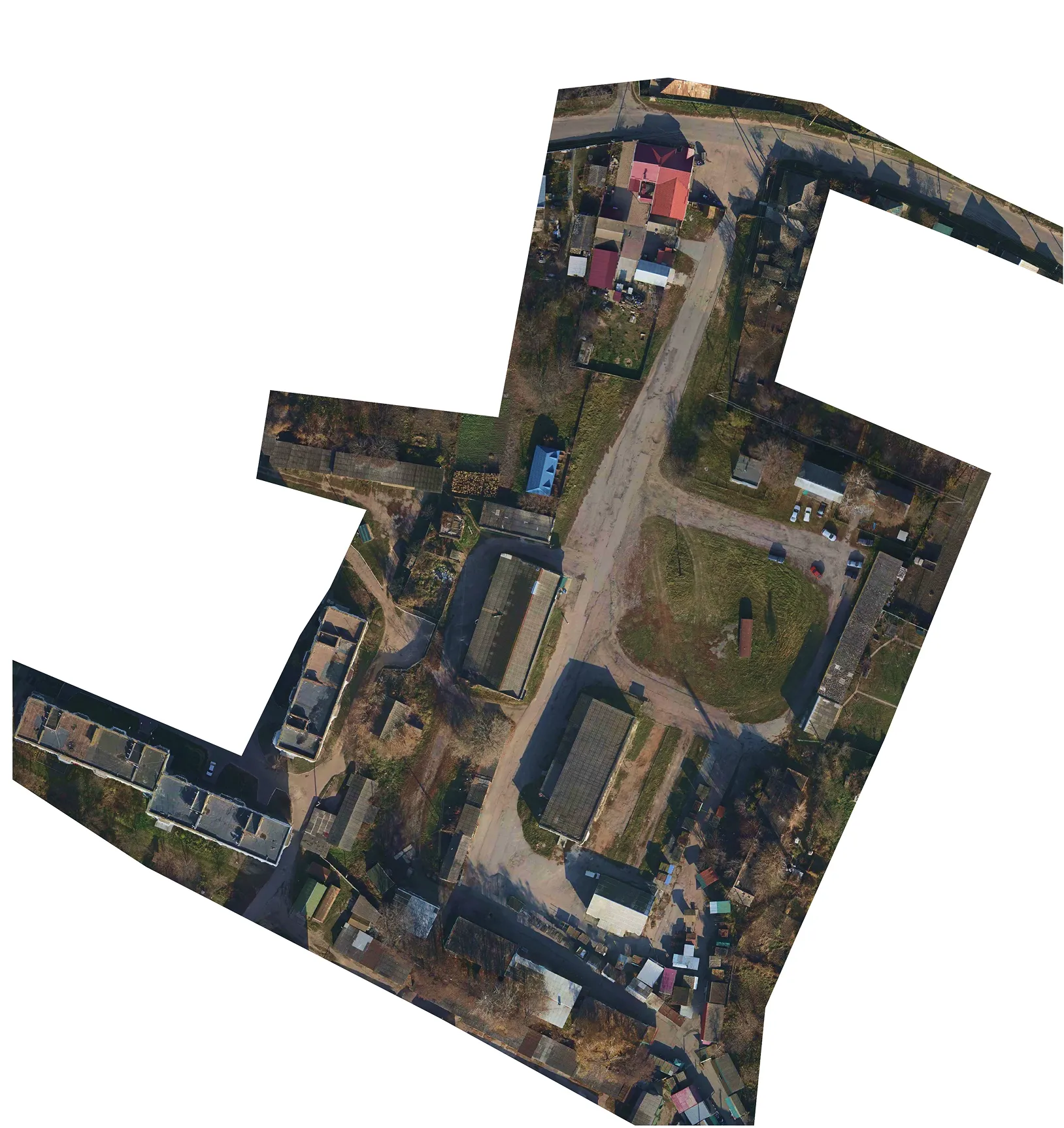
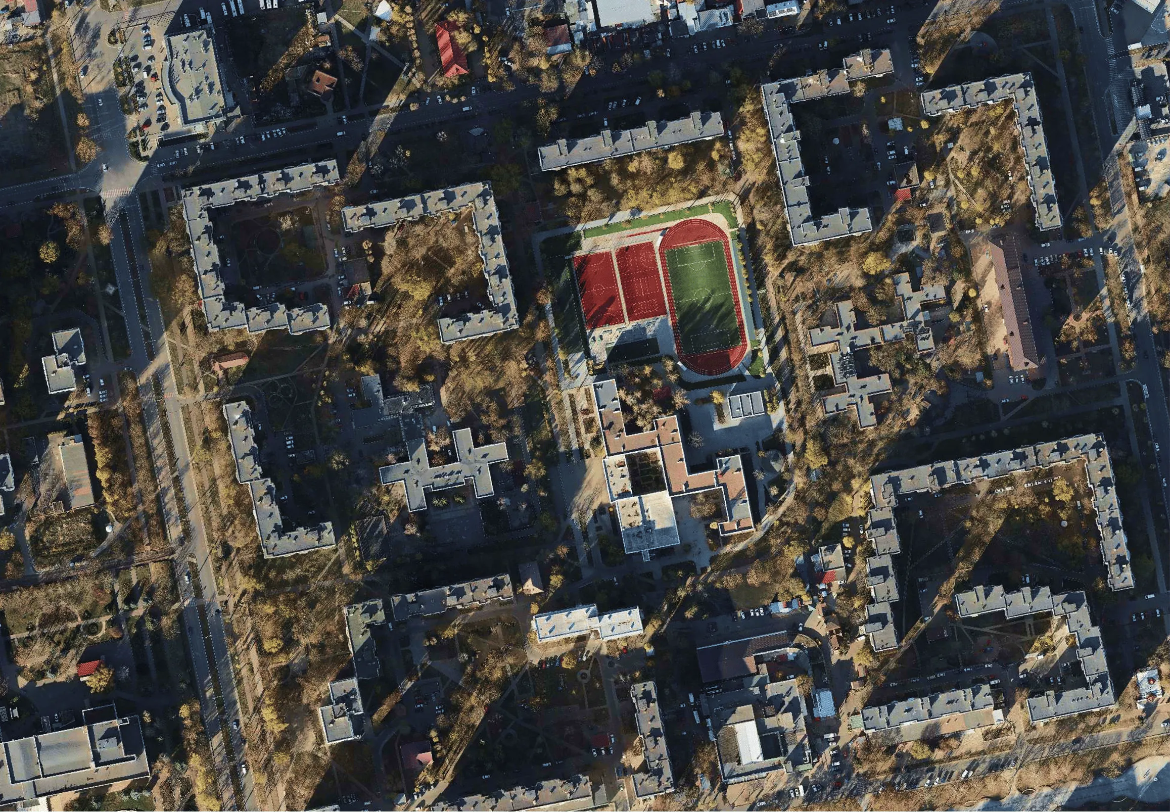
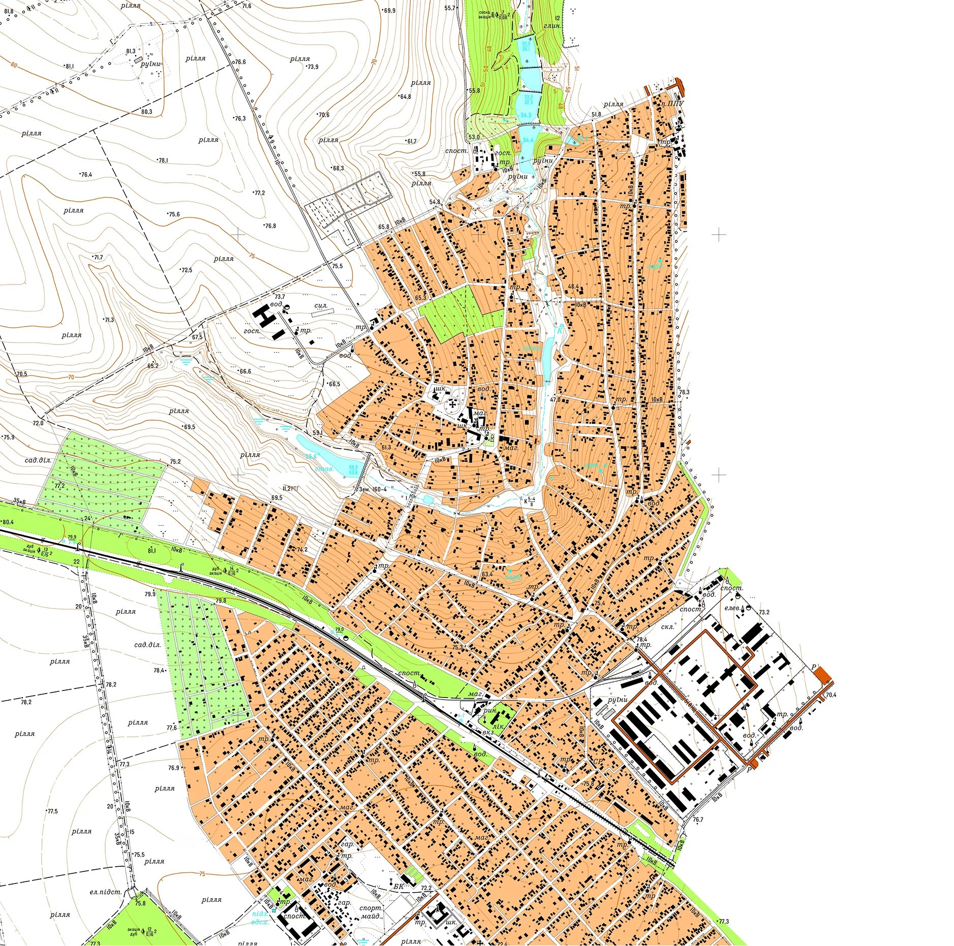
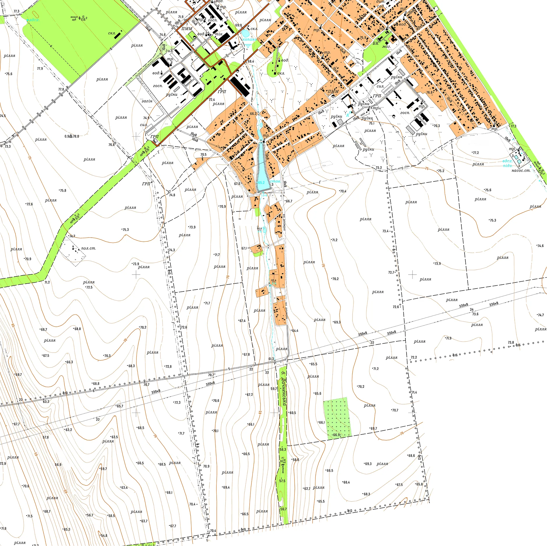
Archizem produced a digital topographic base at a scale of 1:10,000 for a territorial community area in Odesa Oblast, covering approximately 17,500 ha. The dataset was compiled as a continuous, seamless layer in ArcGIS, in strict compliance with national geodetic and cartographic standards.

The digital base includes comprehensive quantitative and qualitative attributes for all features, with codes assigned according to the official Ukrainian Classifier of Topographic Information. Deliverables were supplied in both digital and hard-copy forms.

Primary deliverables included:

  • An ArcGIS File Geodatabase (.gdb) with 1:10,000 scale map documents (.mxd);
  • Vector data in .dmf, .dwg, and .shp formats;
  • Sheet-by-sheet map outputs with frames and marginalia in .pdf and .jpg formats.

Similar projects:

Topographic Base at a Scale of 1:500 for a Land Plot in Chernihiv Oblast

The Archizem team produced a digital topographic base at a scale of 1:500 for a land plot in Chernihiv Oblast. The work was carried out to provide reliable geospatial data for the preparation of design documentation for construction and related engineering purposes.
SEE DETAILS

Topographic Base at 1:5,000 for Inventory of Agricultural Land Areas

Archizem created a topographic base at a scale of 1:5,000 to support the inventory of agricultural land areas. This detailed thematic map serves as a foundation for documenting and analyzing land assets, including engineering infrastructure, buildings, natural resources, and site improvements.
SEE DETAILS

Free data audit and calculation — within 24 hours.

Submit your request

Our specialists will conduct a free analysis of your source data and provide a detailed proposal with cost and timelines within one business day.
Grazie! Your submission has been received!
We have received your request and will contact you shortly
Oops! Something went wrong. Please try again.