Topographic Plan (1:250) for Engineering Design Update

2022
No items found.

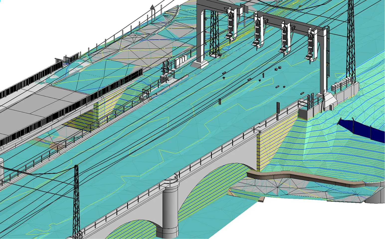
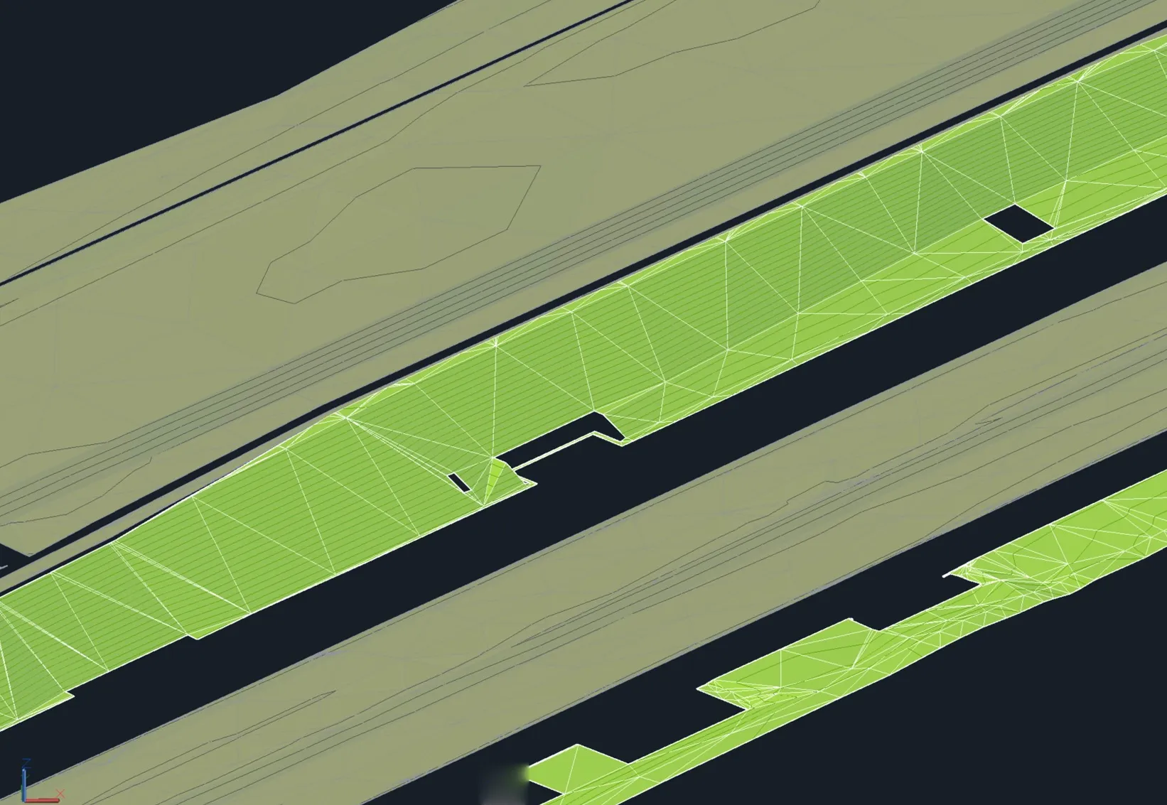
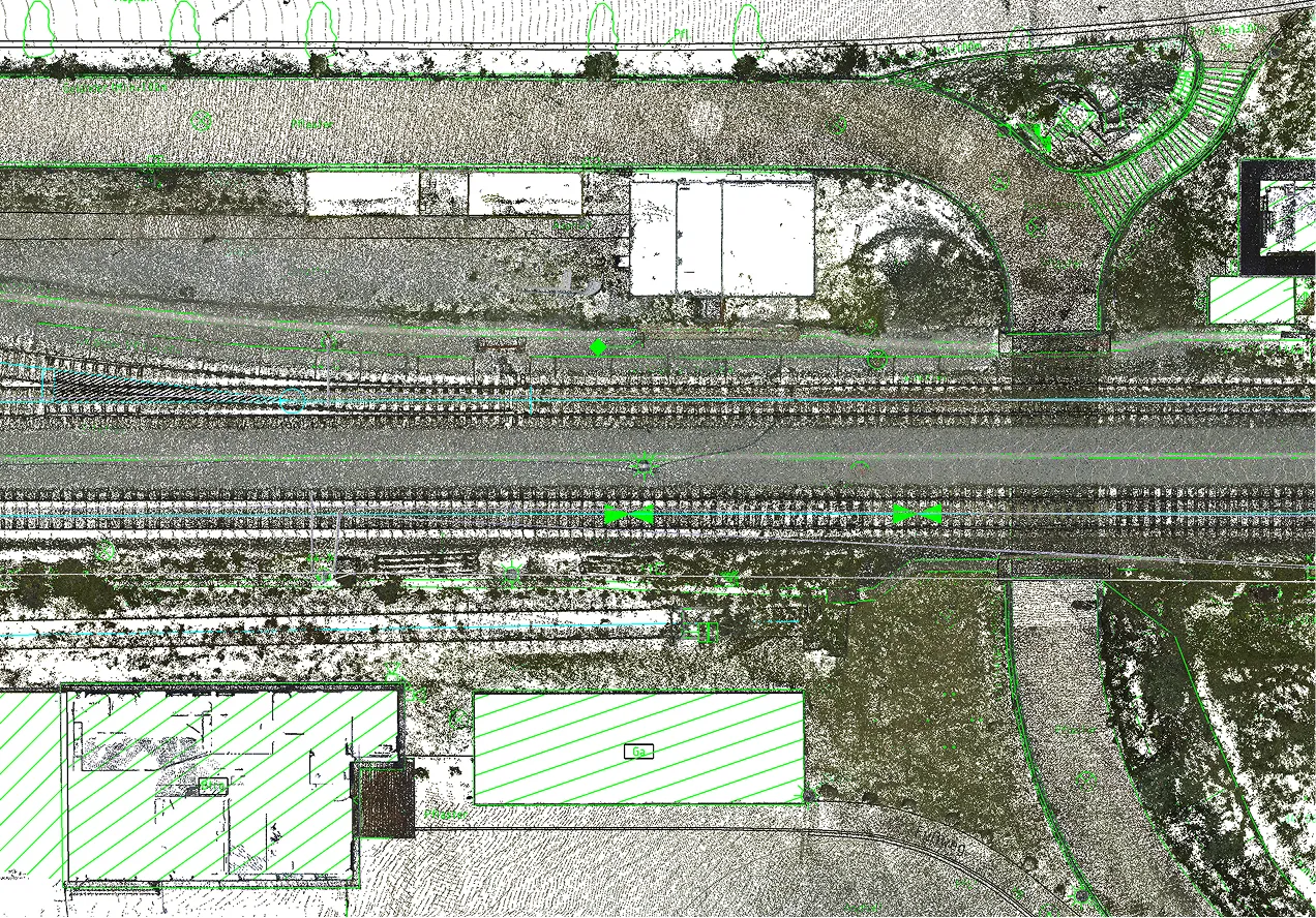
To facilitate the update of design documentation for a linear infrastructure project, Archizem produced a topographic plan at a scale of 1:250 for a corridor approximately 1 km long and up to 70 m wide. The plan details all engineering infrastructure elements and adjacent features within the specified limits.

The topographic base was created using integrated laser scanning and total station survey data, ensuring the required precision and a comprehensive representation of site conditions.

The updated and accurate topographic data from this project serves as an essential geospatial reference for preparing working design documentation and supporting engineering decision-making.

Similar projects:

Cross-Section Profiles of a Railway Track Based on Point Clouds

Archizem’s engineering team produced precise cross-section profiles for a railway track section using point cloud data. To achieve high accuracy, mobile laser scanning data from the Trimble MX9 system was integrated with total station survey results, creating a highly reliable and detailed source dataset.
SEE DETAILS

3D As-Built Model of a Railway Bridge

Archizem developed a precise 3D as-built model of a railway bridge to facilitate a detailed assessment of its current technical condition and geometry.
SEE DETAILS

Free data audit and calculation — within 24 hours.

Submit your request

Our specialists will conduct a free analysis of your source data and provide a detailed proposal with cost and timelines within one business day.
Grazie! Your submission has been received!
We have received your request and will contact you shortly
Oops! Something went wrong. Please try again.