Digital Terrain Model for Noise Barrier Planning

2025
No items found.

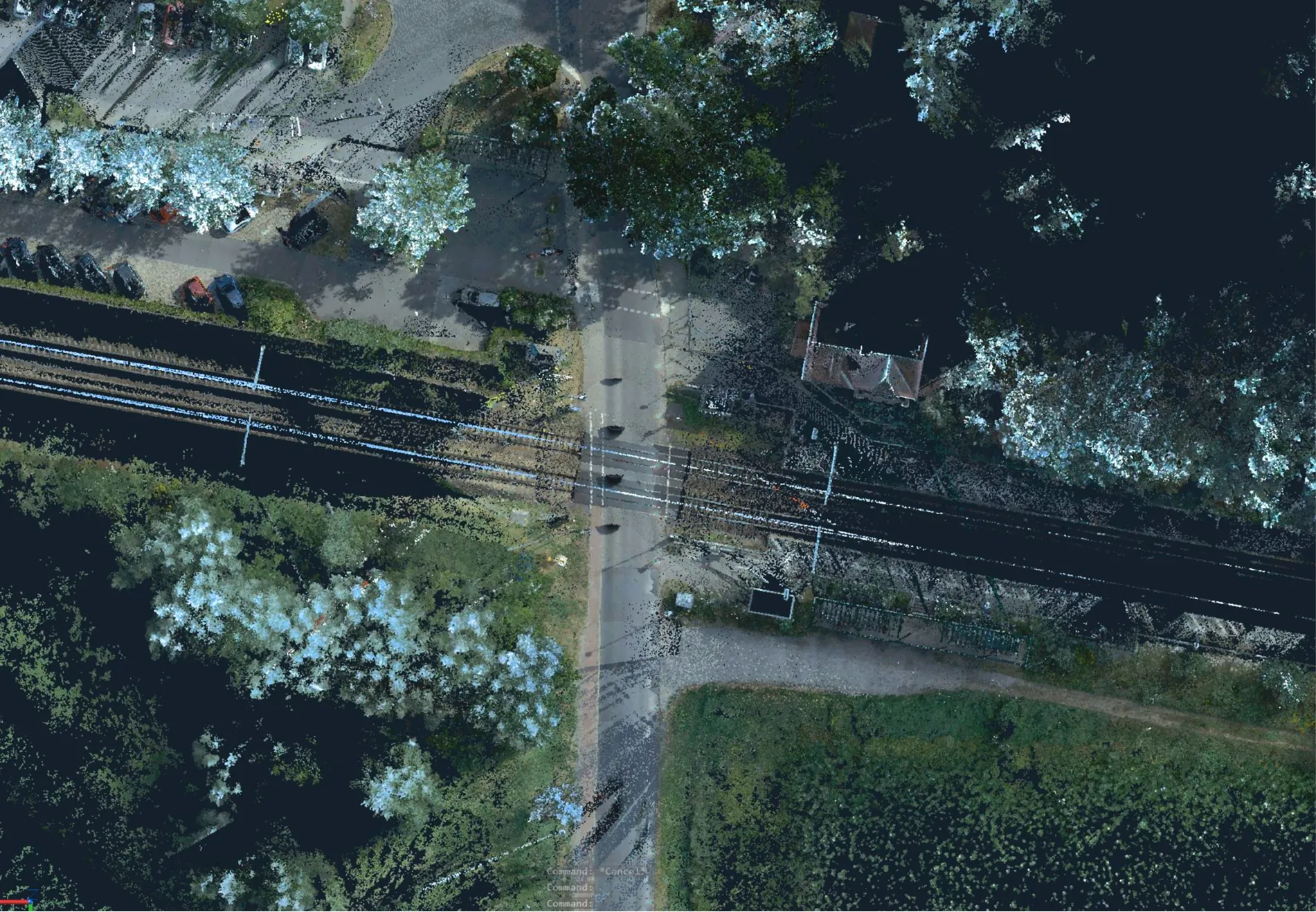
Archizem's engineering team produced a Digital Terrain Model (DTM) for an 8 km railway corridor with a 50-meter buffer, covering areas both inside and outside settlements. This model established a consistent geospatial baseline for the design of noise mitigation measures.

The DTM was generated from aerial survey point clouds, with a final accuracy of 10 cm relative to the source data, making it suitable for detailed engineering analysis.

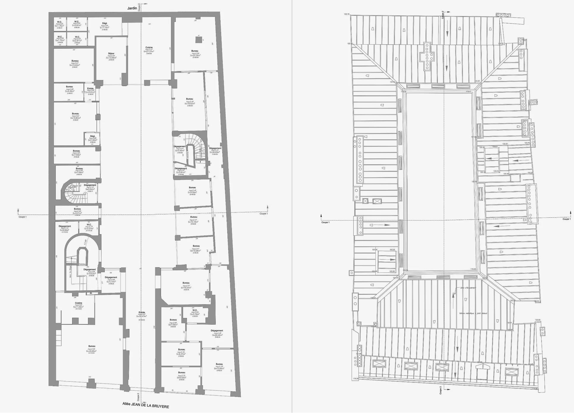
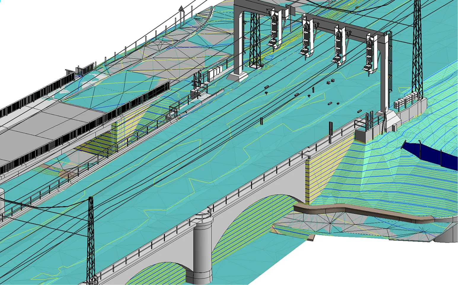
The project featured the coordinated delivery of multiple outputs: the DTM, a BIM model of railway infrastructure, and an existing-conditions plan at a scale of 1:200. Selected structural breaklines from the DTM were shared to ensure all deliverables were precisely aligned geometrically and spatially.

This coordinated package of data provides reliable baseline information for optimizing noise barrier design and managing the reconstruction process.

Similar projects:

Architectural Drawings of a School Building

Archizem specialists prepared a complete set of 2D CAD drawings (elevations and sections) for a school building in Germany, based on a laser scanning point cloud. The project aimed to accurately document the asset and create a reliable baseline for future refurbishment and modernization projects.
SEE DETAILS

Digital Terrain Model Along a Railway Corridor

Archizem specialists generated a Digital Terrain Model (DTM) for a 6 km railway corridor within a 100-meter buffer, encompassing built-up and open terrain.
SEE DETAILS

Free data audit and calculation — within 24 hours.

Submit your request

Our specialists will conduct a free analysis of your source data and provide a detailed proposal with cost and timelines within one business day.
Grazie! Your submission has been received!
We have received your request and will contact you shortly
Oops! Something went wrong. Please try again.