.webp)
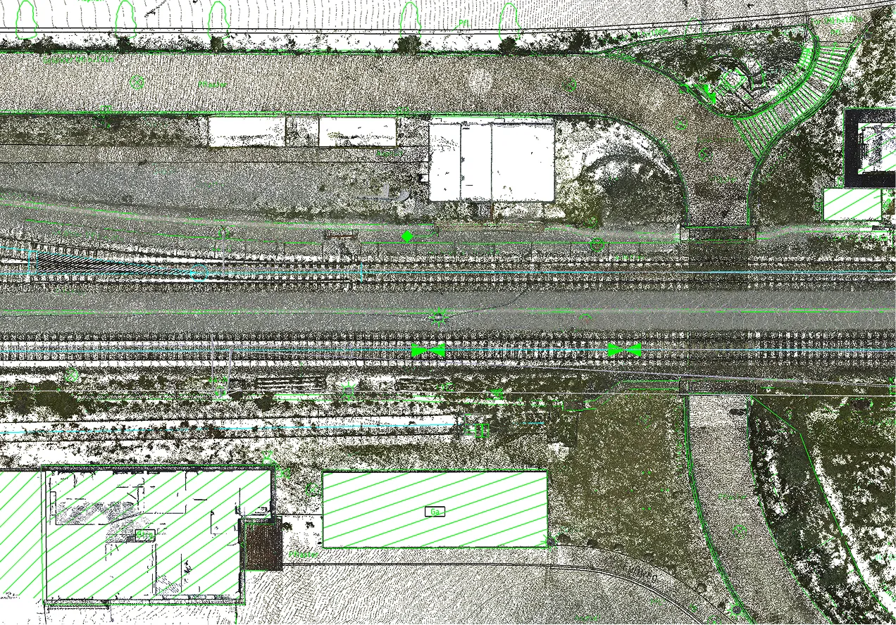
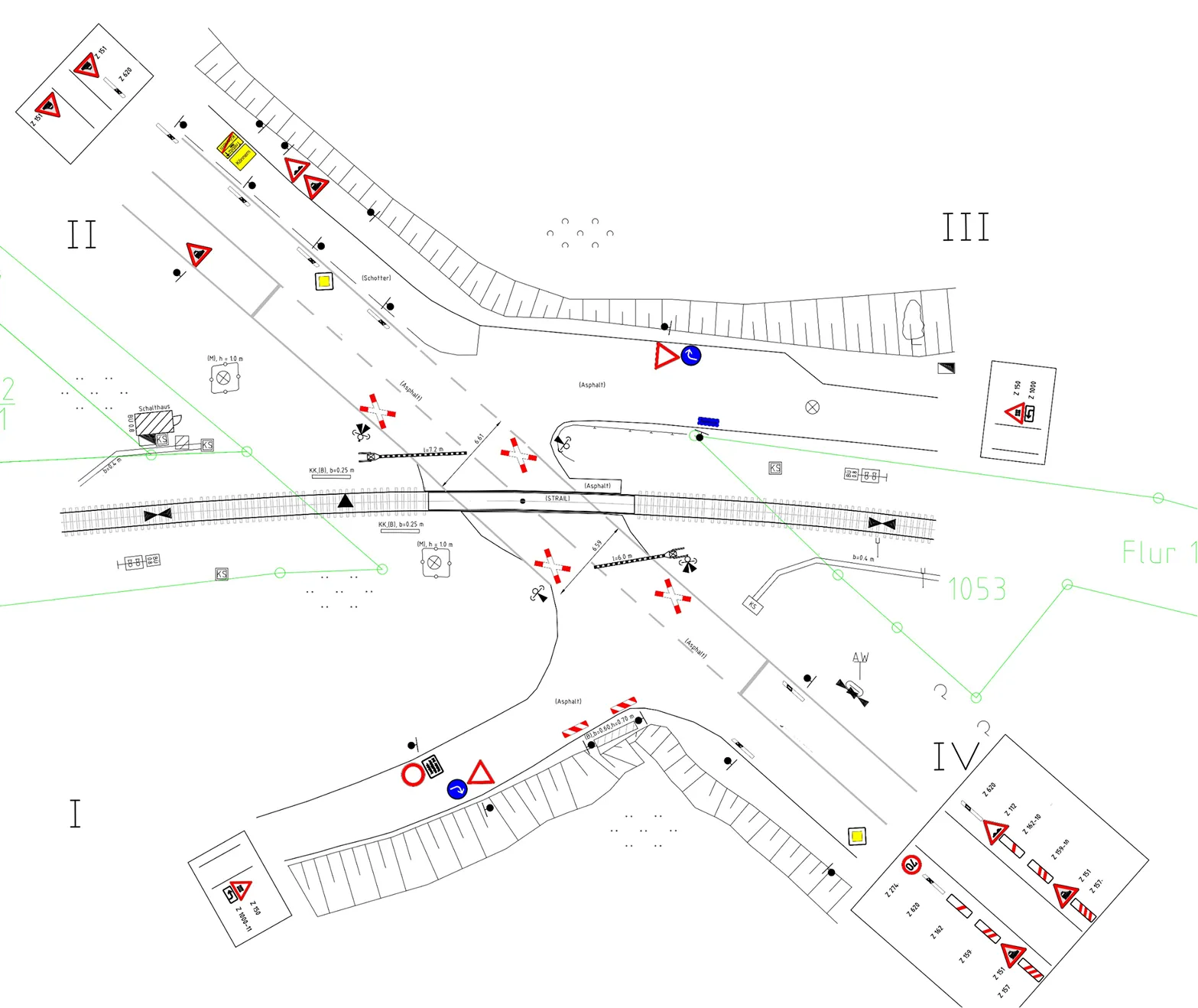
Archizem completed the topographic and geodetic data processing and produced 95 individual topographic plans at a scale of 1:200 for railway level crossings. Each plan details the transport and engineering infrastructure, along with surrounding features, within the defined project area for every location.
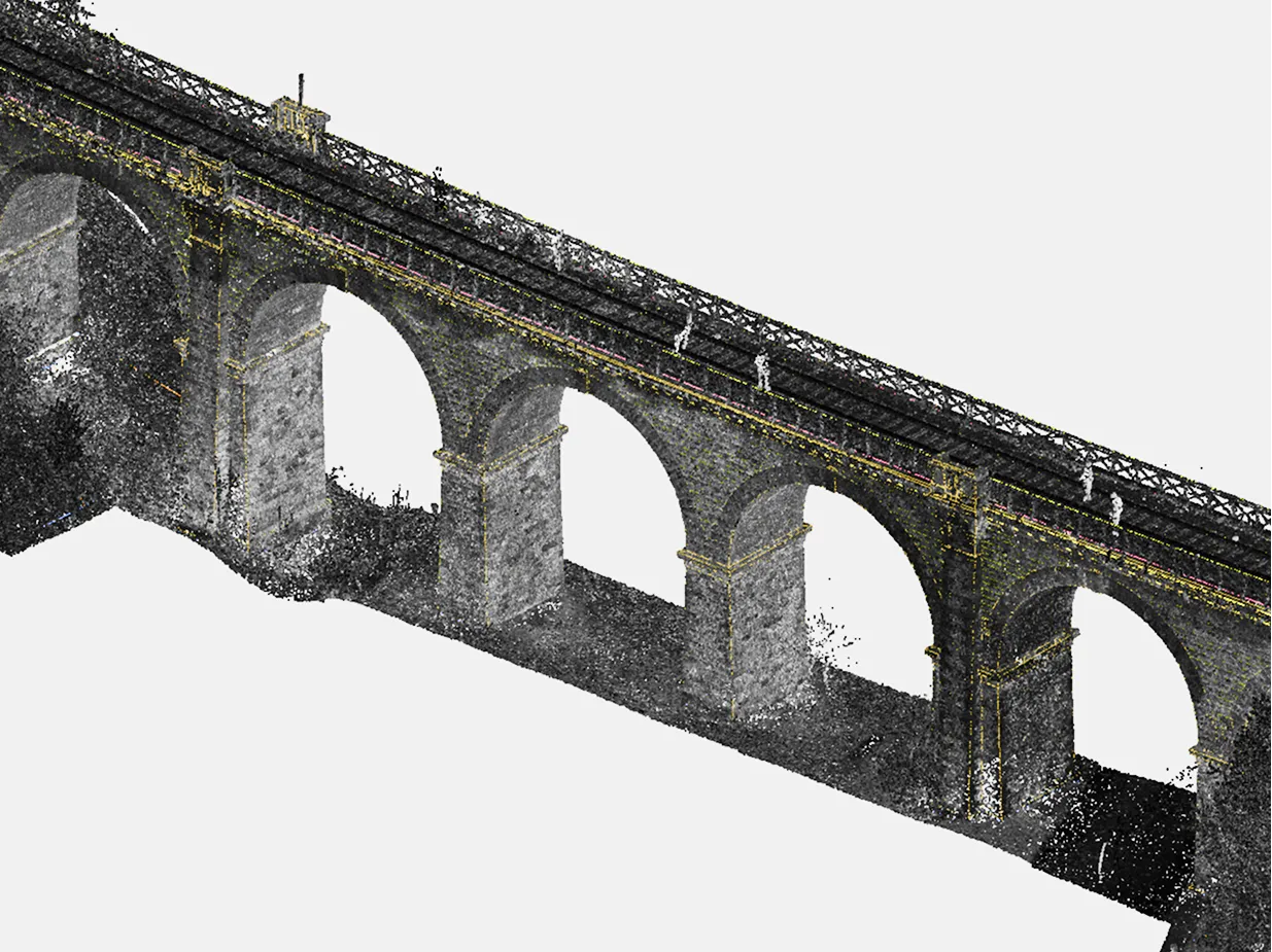
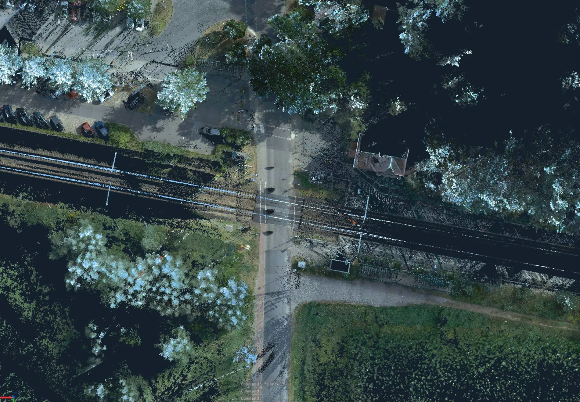
The source data was acquired using the high-precision Trimble MX9 system for mobile laser scanning and panoramic imaging. The resulting dense point cloud and high resolution ensured that each plan reliably reflects actual site conditions, including roadway and track geometry, shoulders, drainage features, supports, and utility networks in the crossing area.
These deliverables provide the client with an up-to-date and precise geospatial baseline for subsequent design work, validation of design solutions, and engineering decisions aimed at modernizing and enhancing the safety of railway level crossings.