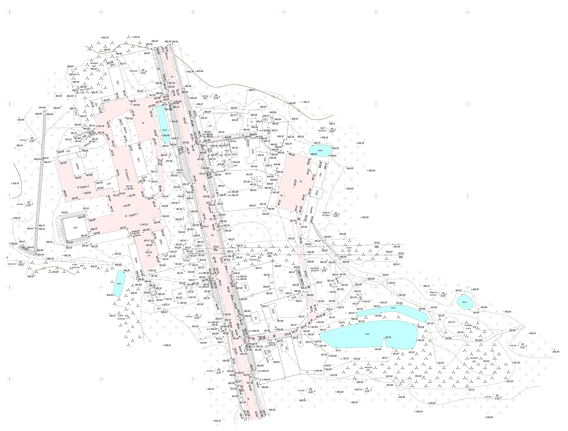

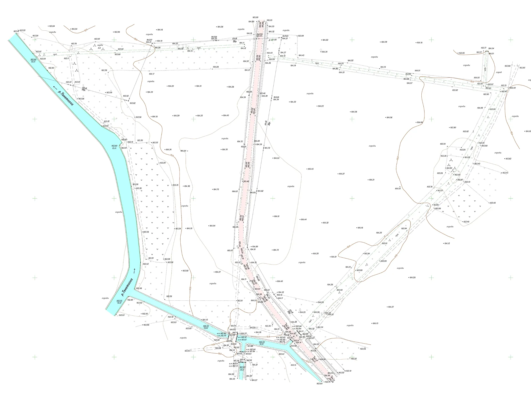
Commissioned by DAI Global, LLC (DAI) under the USAID Governance and Local Accountability (HOVERLA) Activity, Archizem carried out topographic and geodetic surveying and produced nine topographic plans at a scale of 1:1,000 for designated land plots within a territorial community in Volyn Oblast.
The deliverables supported the development of a comprehensive spatial development plan, including planning solutions for Detailed Territory Plans (DTPs). Source data were collected through tachymetric surveys using GNSS technologies; all measurements were stored in the instruments’ memory and processed under office conditions.
Office processing and compilation of the digital mapping base were performed in ArcGIS, with quantitative and qualitative attributes and feature codes assigned in accordance with the Classifier of Information Shown on Topographic Plans at scales 1:5,000, 1:2,000, 1:1,000, and 1:500.
Deliverables provided to the client included:
.webp)


