Normative Monetary Valuation of Land Plots in Nerubayska Rural Territorial Community (Odesa Oblast)

2024
No items found.

The Archizem team prepared technical documentation for the normative monetary valuation of land plots within Nerubayska Rural Territorial Community, Odesa Raion, Odesa Oblast, based on a decision of the Nerubayska Village Council and the relevant contract.

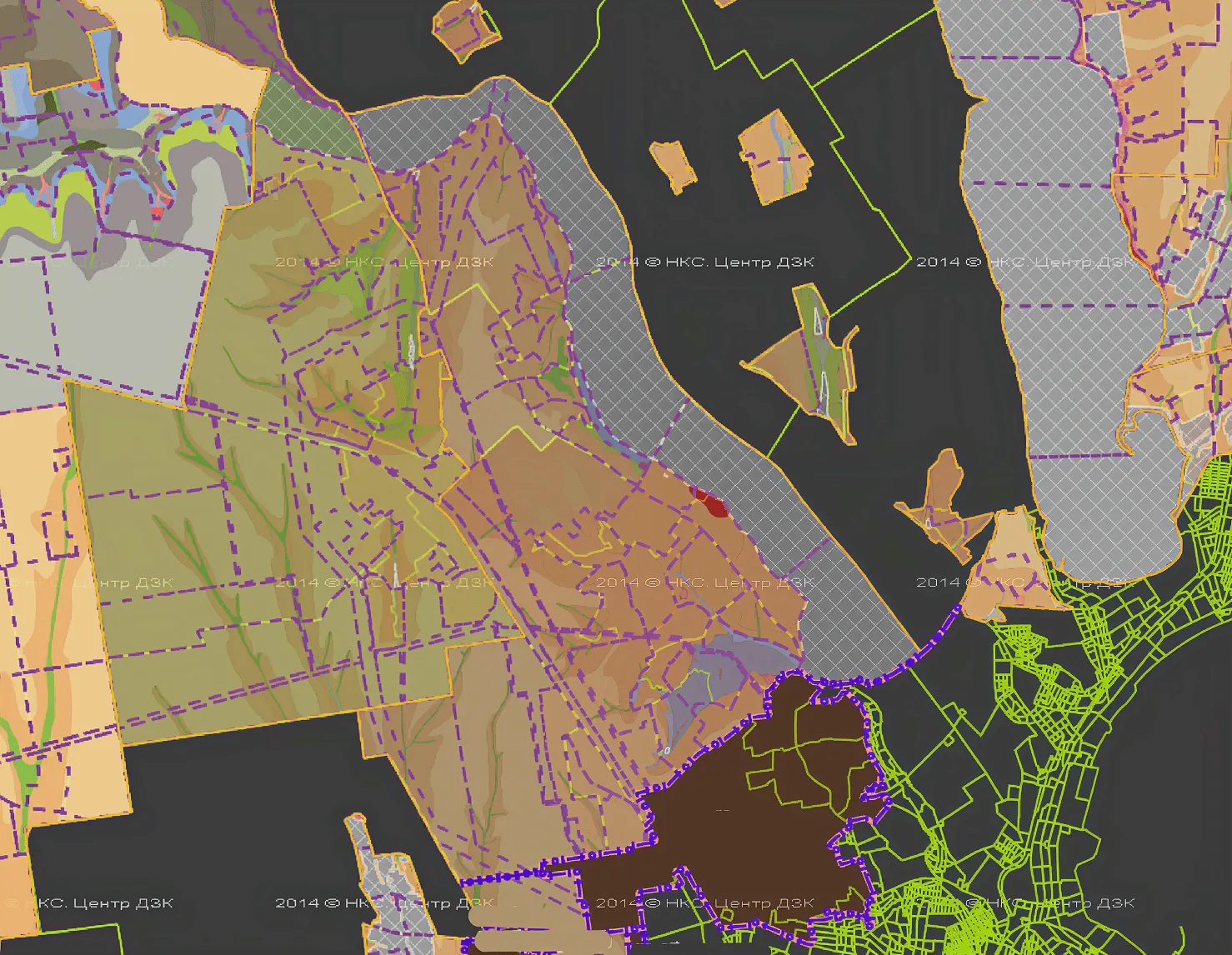
The valuation covered land plots of all categories and forms of ownership across the community, with a total area of 9,740.8534 ha. The work was delivered in four stages: collecting baseline data and verifying boundaries; dividing the territory into valuation zones; preparing the technical documentation; and generating the electronic dataset for import into the State Land Cadastre.

The process relied on official statistical reporting, State Land Cadastre records, urban planning documentation, and previous land valuations.

Following the client’s approval, the valuation data were entered into the State Land Cadastre, and the technical documentation was finalized as an official valuation report (extract).

Similar projects:

Land Management Project to Establish (Amend) the Boundaries of Artyrivka Village (Odesa Oblast)

Archizem developed a land management project to establish (amend) the boundaries of Artyrivka Village, Oknyanska Settlement Council, Podilsk Raion, Odesa Oblast. The project’s objective was to clearly delineate the settlement’s lands from surrounding areas, support local development, and ensure rational land use while preserving natural landscapes and cultural heritage assets.
SEE DETAILS

Land Management Project for Establishing the Community Boundary in Volyn Oblast

Archizem’s team developed a land management project to establish the boundary of the Shatsk Settlement Territorial Community (Kovel District, Volyn Oblast) under a subcontract signed within the USAID Governance and Local Accountability (HOVERLA) Activity. The subcontract covered the preparation of a cartographic basemap, community boundary establishment, and the supporting works required for the subsequent Comprehensive Plan for the Spatial Development of the Territory of the Territorial Community (comprehensive spatial development plan).
SEE DETAILS

Free data audit and calculation — within 24 hours.

Submit your request

Our specialists will conduct a free analysis of your source data and provide a detailed proposal with cost and timelines within one business day.
Grazie! Your submission has been received!
We have received your request and will contact you shortly
Oops! Something went wrong. Please try again.