.webp)
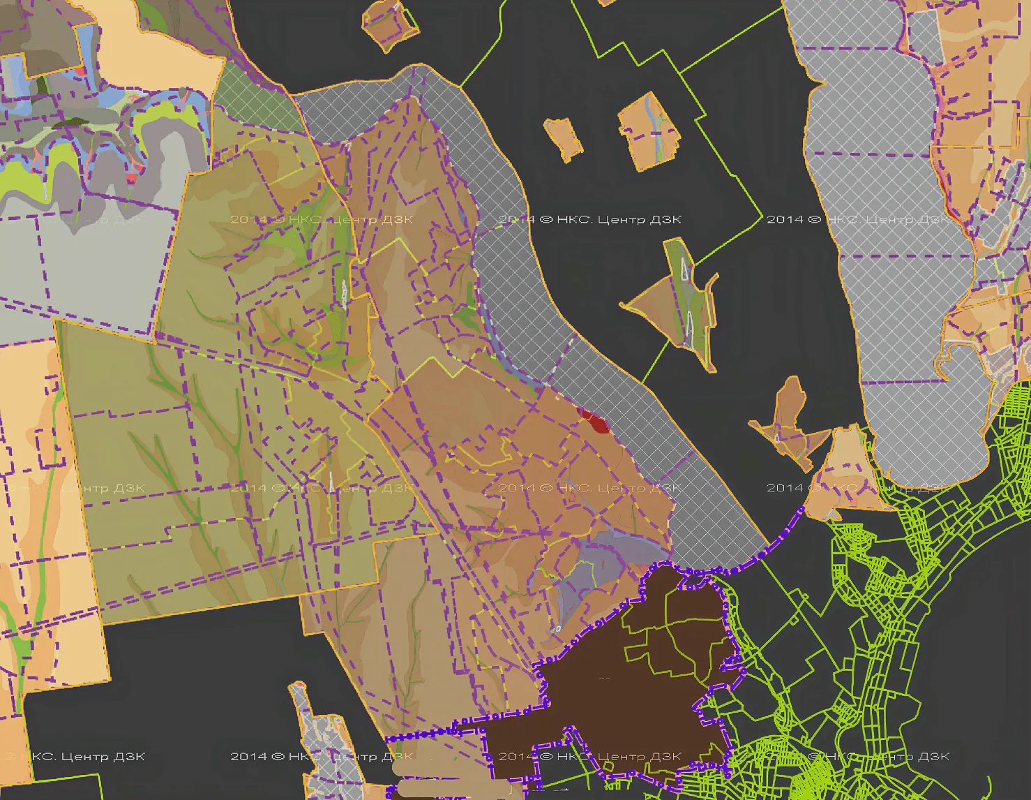
Archizem’s team developed a land management project to establish the boundary of the Shatsk Settlement Territorial Community (Kovel District, Volyn Oblast) under a subcontract signed within the USAID Governance and Local Accountability (HOVERLA) Activity. The subcontract covered the preparation of a cartographic basemap, community boundary establishment, and the supporting works required for the subsequent Comprehensive Plan for the Spatial Development of the Territory of the Territorial Community (comprehensive spatial development plan).
As part of the preparatory materials, the community’s functional and planning structure was defined, with the town serving as the administrative, economic, and social services hub. The plan provides for residential development, expansion of social infrastructure (education, healthcare, culture), and the creation of modern public spaces. For surrounding villages, modernization of development patterns, utilities, and transport links to the town was envisaged.
The local economy is oriented toward the development of tourism, logistics, and agro-processing. In transport planning, measures include upgrading the street and road network and improving connectivity to regional transport corridors. In agriculture, land for production is preserved and its efficient use is encouraged.
A separate set of measures focuses on developing recreational areas around the Shatsk Lakes, including the formation of a tourism cluster and new leisure, sports, and wellness infrastructure. The project package also accounts for land-use constraints, such as sanitary protection zones, protected corridors, nature conservation areas, and cultural heritage zones.
All graphical and textual materials are brought into compliance with urban cadastre requirements, using a standardized geodatabase structure aligned with legislation and the international INSPIRE principles. The data are prepared in a format suitable for use in a unified geoportal and in territorial management systems. The application of the national coordinate reference system USK-2000, together with specialized GIS software, ensures accurate representation of features and enables integration into cadastre resources, including the urban cadastre.
The outcome is a robust digital foundation for managing the community’s spatial development—from land-use control to investment project planning—ensuring transparency and data accessibility for authorities, business, and the public.