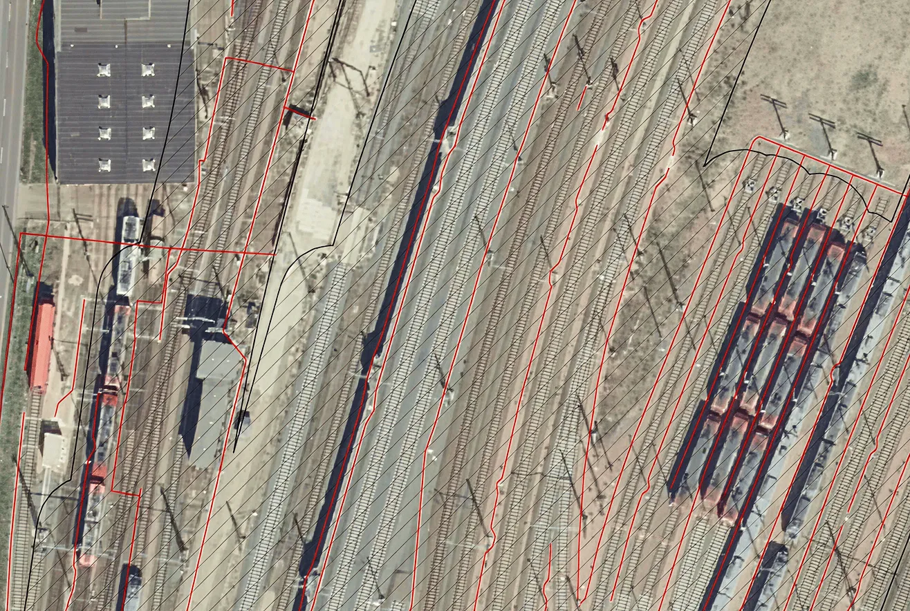


Archizem specialists updated a topographic plan at a scale of 1:2,000 using aerial survey materials and field inspection results, including topographic surveying with electronic total stations and GNSS receivers. The approximate updated area covered 7,060 hectares.
The update was carried out in Delta/Digitals software using stereo mode for terrain processing. The dataset was then converted into ArcGIS with a feature structure that complies with the “Classifier of Topographic Information Shown on Topographic Plans at Scales 1:5,000, 1:2,000, 1:1,000, 1:500”.
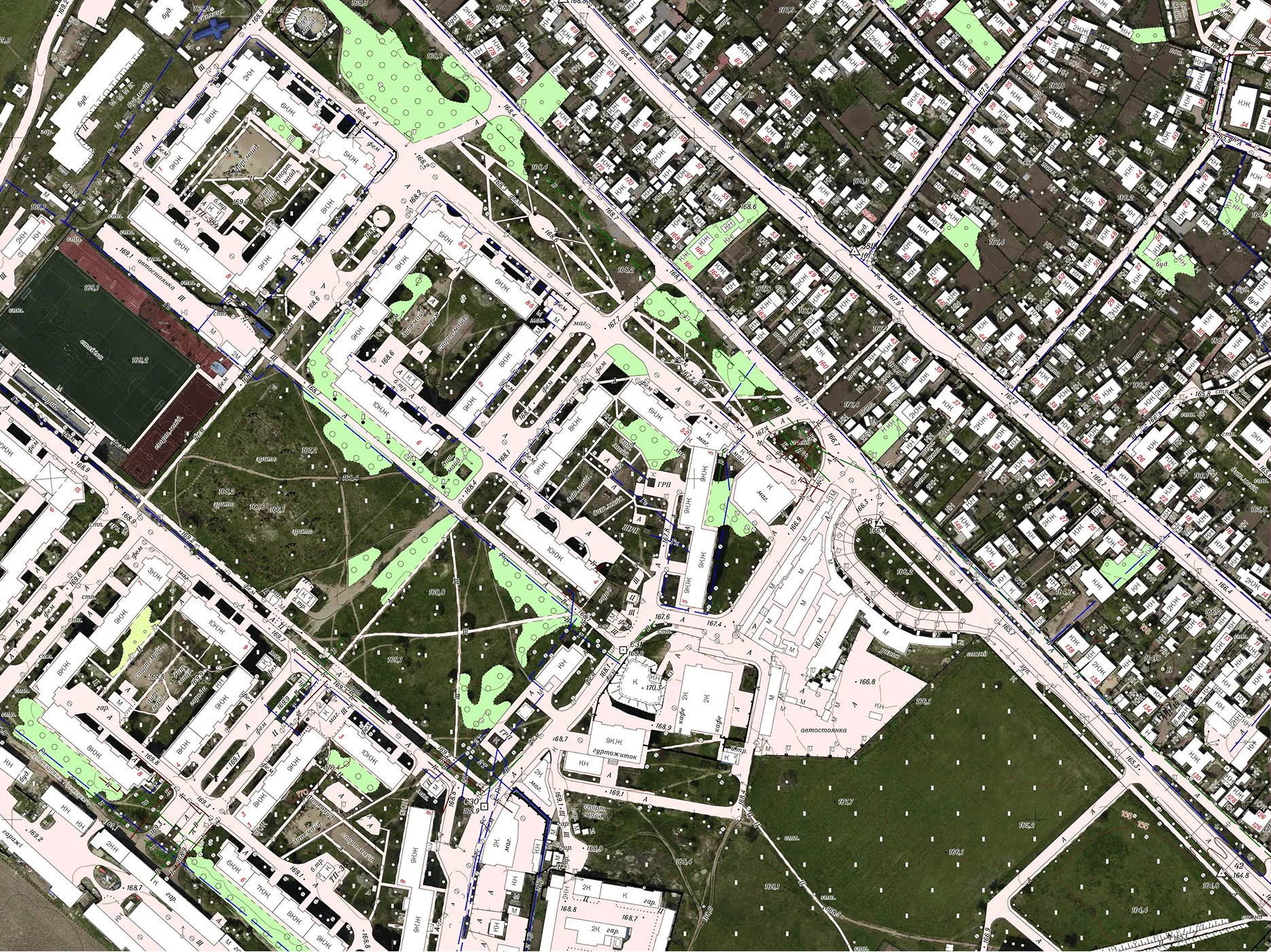
The updated digital topographic plan is delivered in a structured data model, suitable for further processing and efficient future updates and additions.
Deliverables included: