Digital Terrain Model Along a Railway Line

2025
No items found.

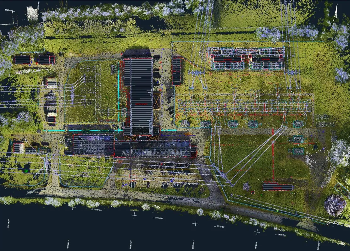
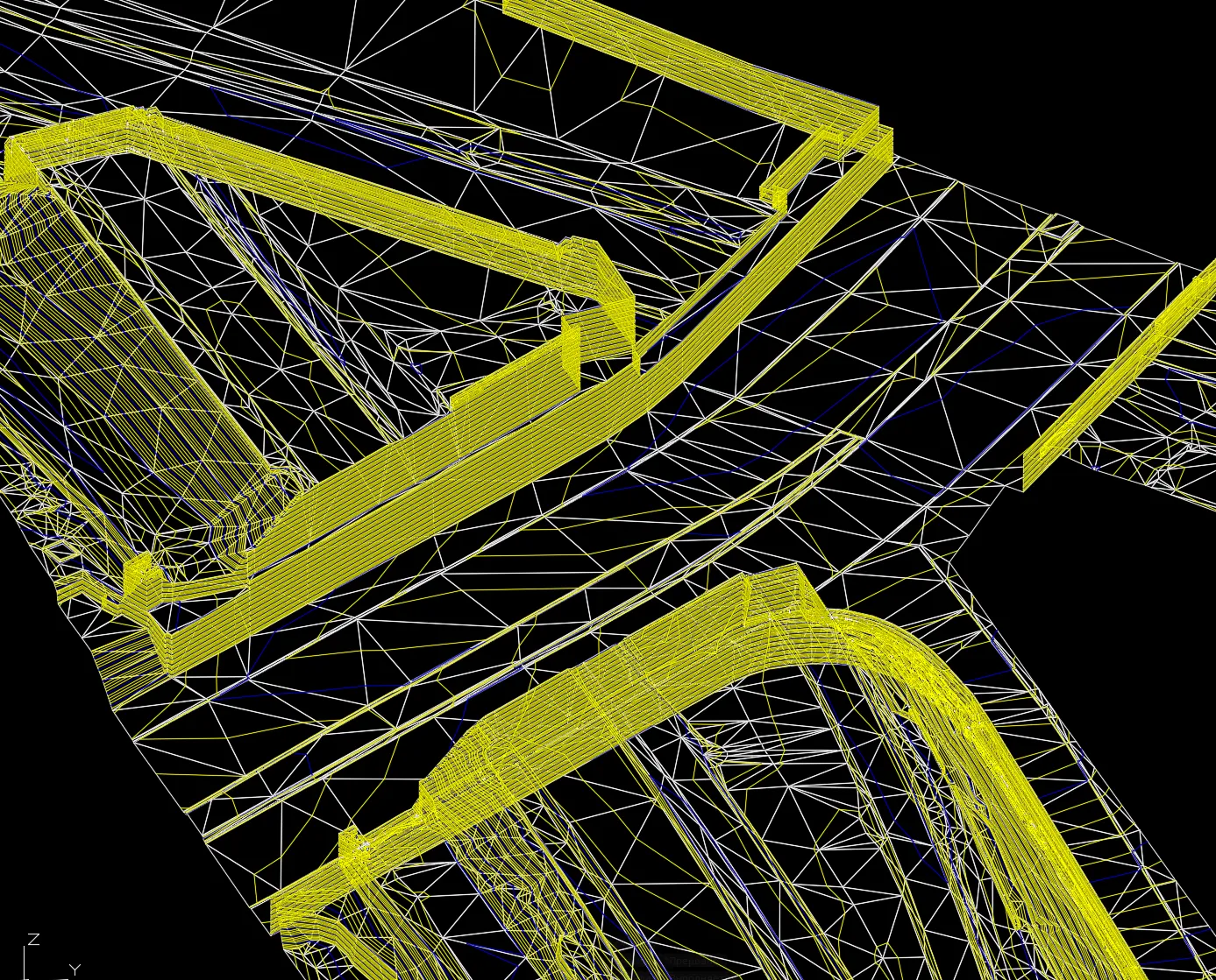
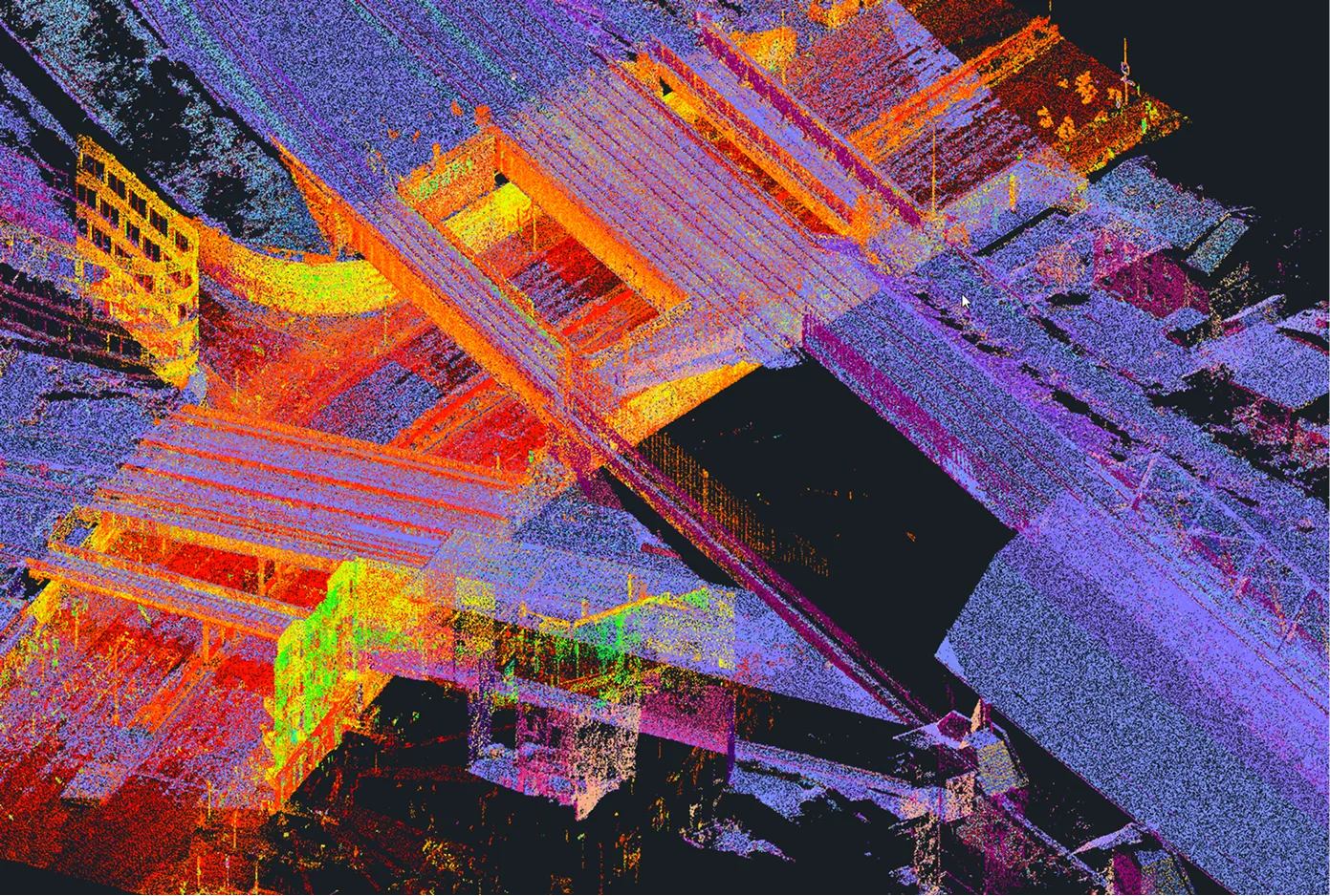
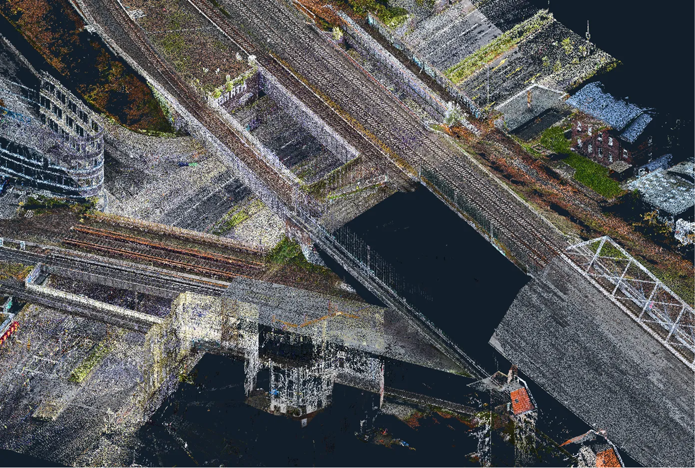
Archizem's engineering team created a Digital Terrain Model (DTM) for a 21 km railway section, with a 40–60 meter buffer covering densely built-up and forested areas.

The model was generated from aerial survey point clouds, augmented by static scans in bridge areas, achieving an accuracy of 15 cm relative to the point cloud.

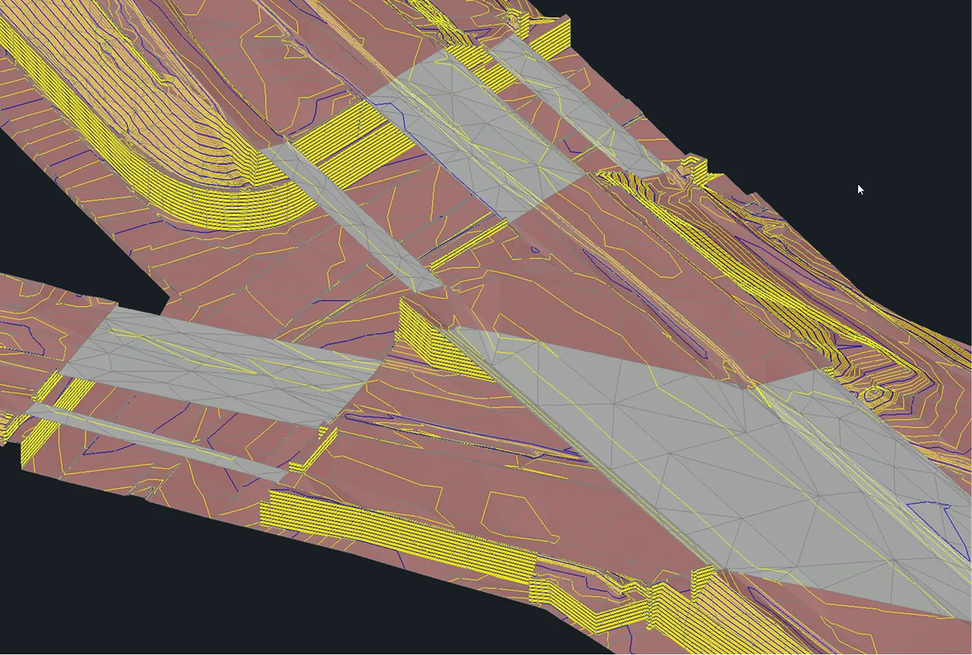
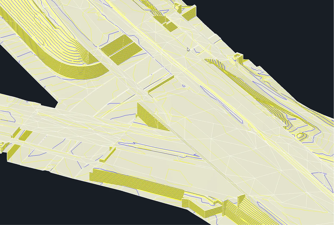
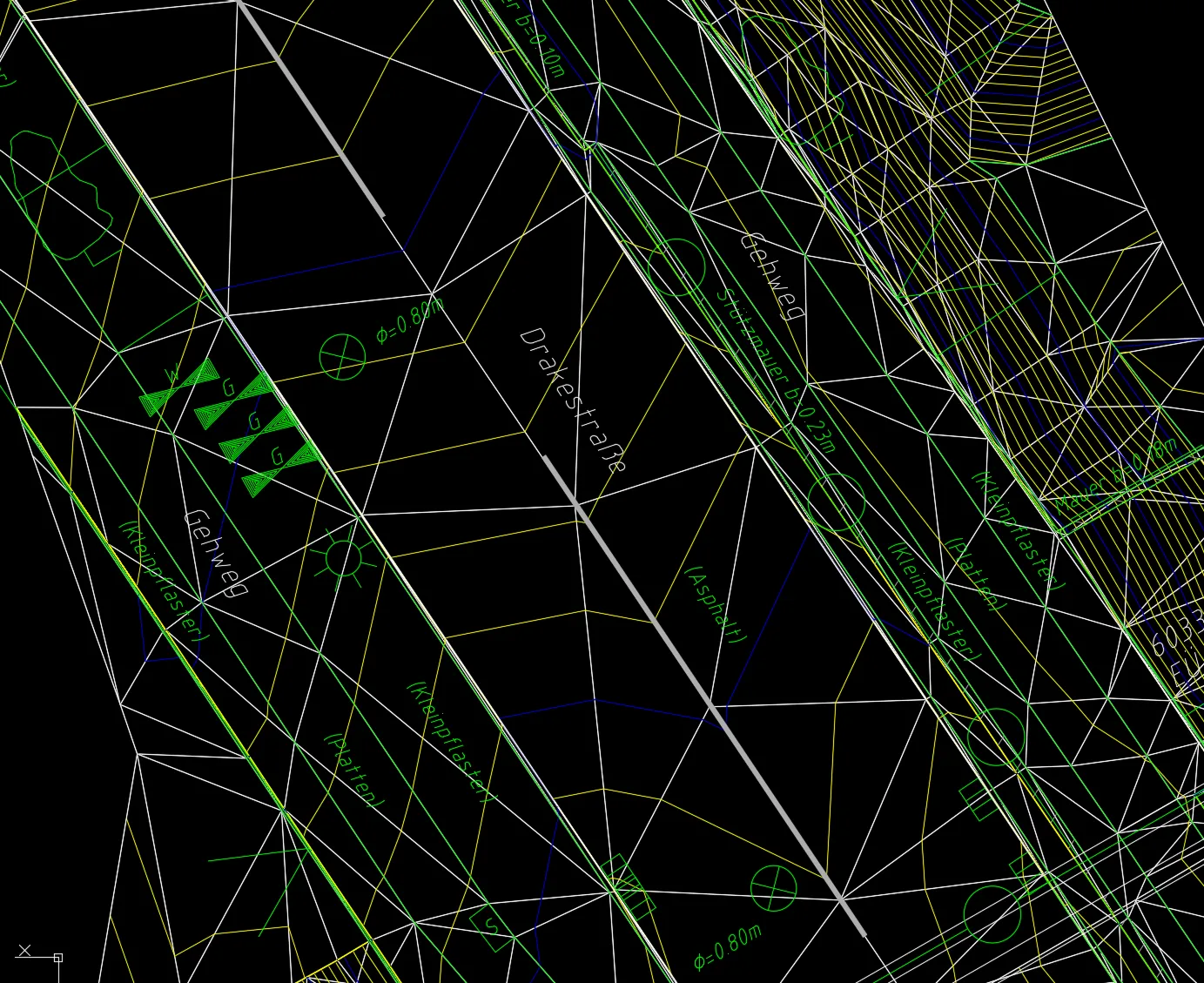
An important aspect of the work was developing the DTM to include selected elements of a digital surface representation. A set of extracted structural breaklines was also delivered to support the subsequent creation of a detailed 1:200 topographic plan for the project area.

The DTM serves as essential baseline data for reconstruction planning, enabling the refinement of layout solutions and informed engineering decision-making.

Similar projects:

Architectural Drawings for an Office Building Based on a Point Cloud (CAFM)

The Archizem team developed a complete set of architectural drawings for an office building, based on a laser scanning point cloud, for a German client specializing in Computer-Aided Facility Management (CAFM). The primary objective was to create an accurate as-built record to support facility management, refurbishment planning, and technical maintenance.
SEE DETAILS

Digital Terrain Model Along a Railway Corridor

Archizem specialists generated a Digital Terrain Model (DTM) for a 6 km railway corridor within a 100-meter buffer, encompassing built-up and open terrain.
SEE DETAILS

Free data audit and calculation — within 24 hours.

Submit your request

Our specialists will conduct a free analysis of your source data and provide a detailed proposal with cost and timelines within one business day.
Grazie! Your submission has been received!
We have received your request and will contact you shortly
Oops! Something went wrong. Please try again.