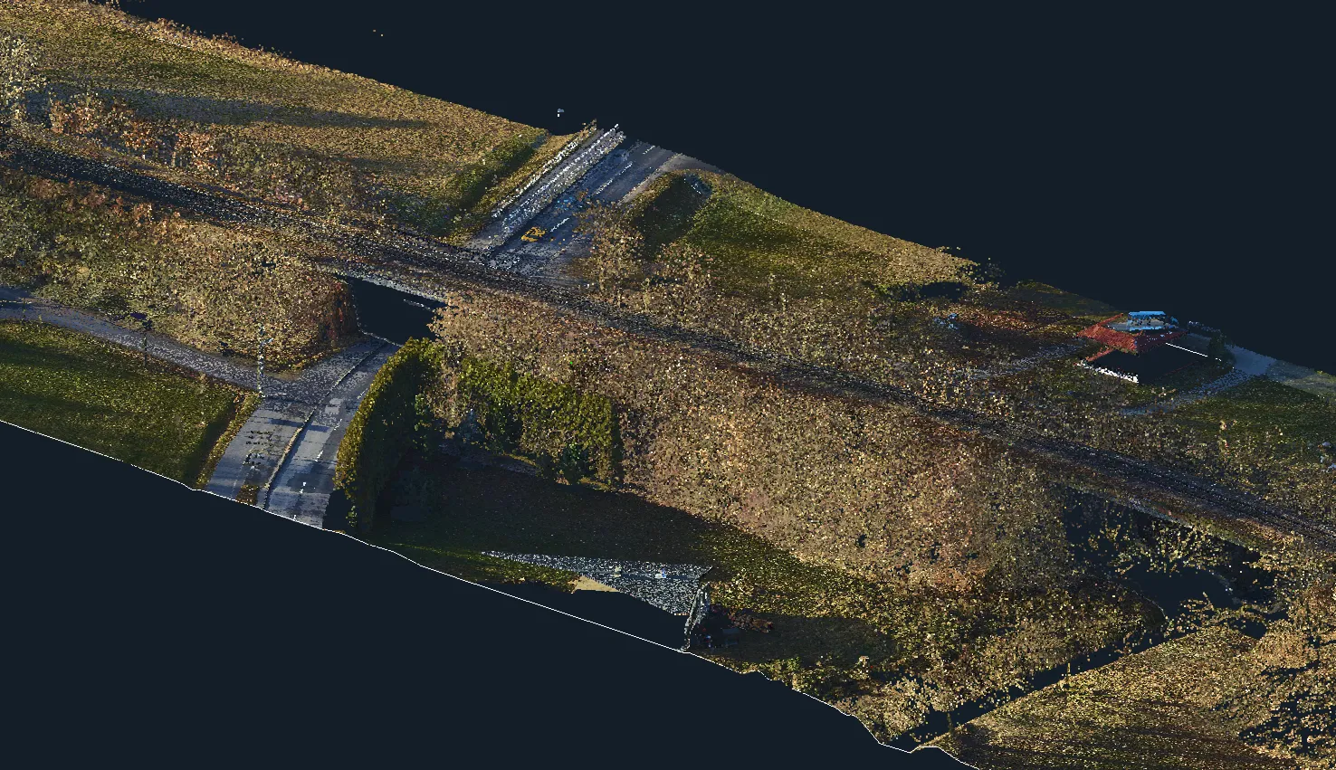
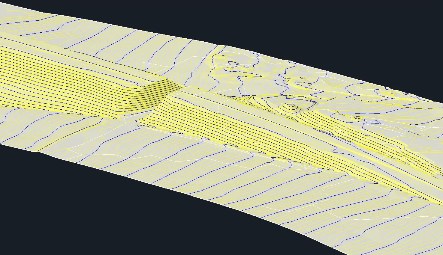


Archizem specialists generated a Digital Terrain Model (DTM) for a 6 km railway corridor within a 100-meter buffer, encompassing built-up and open terrain.
The DTM was derived from high-precision mobile laser scanning data captured with the Trimble MX9 system. The model accuracy of 10 cm relative to the point cloud ensures a faithful representation of terrain conditions along the entire alignment.
This project directly supported the parallel design of a 110 kV power line routing. The resulting DTM provides a dependable geospatial foundation for engineering decisions, enabling accurate earthwork calculations, terrain-sensitive design, and precise infrastructure layout.