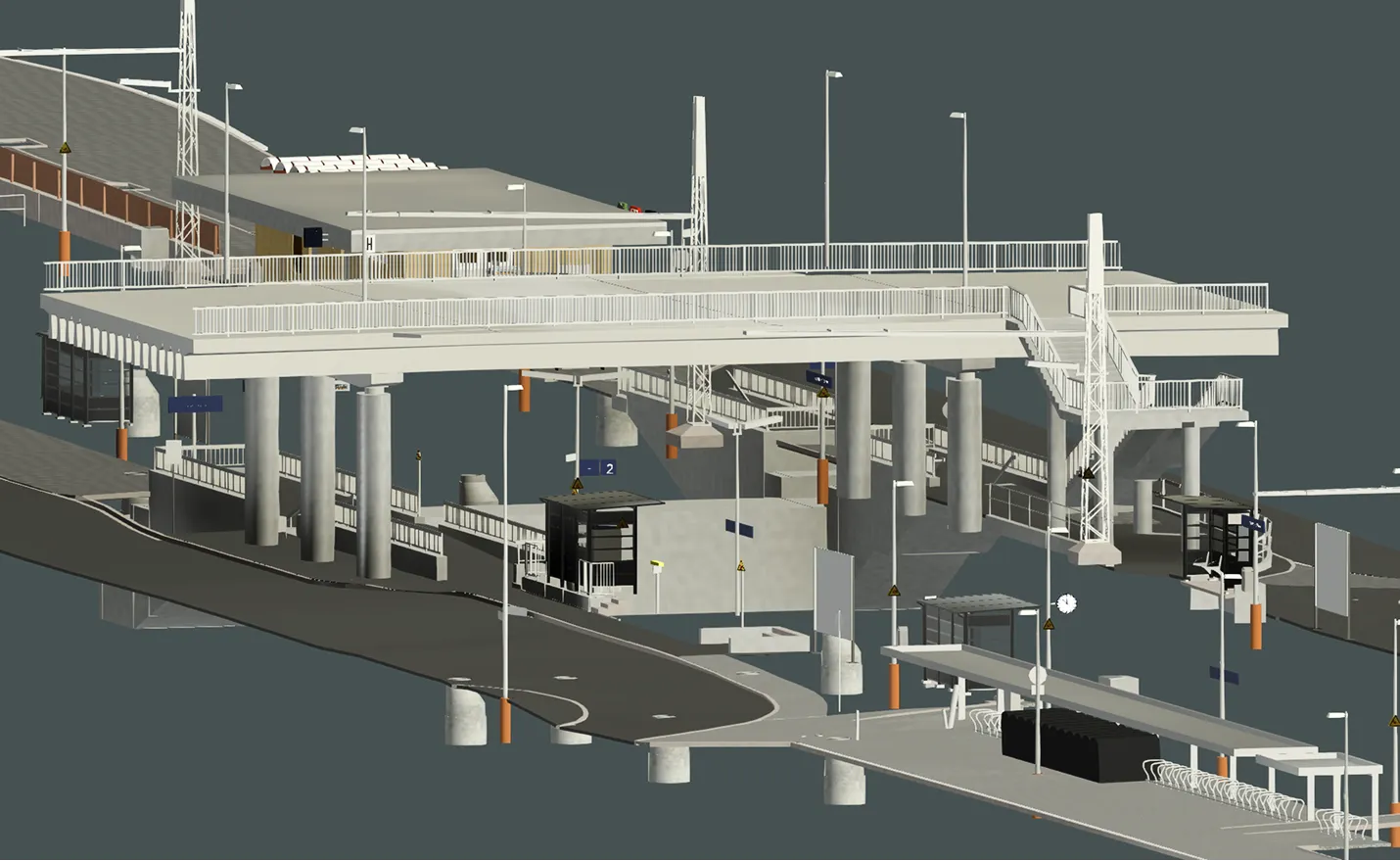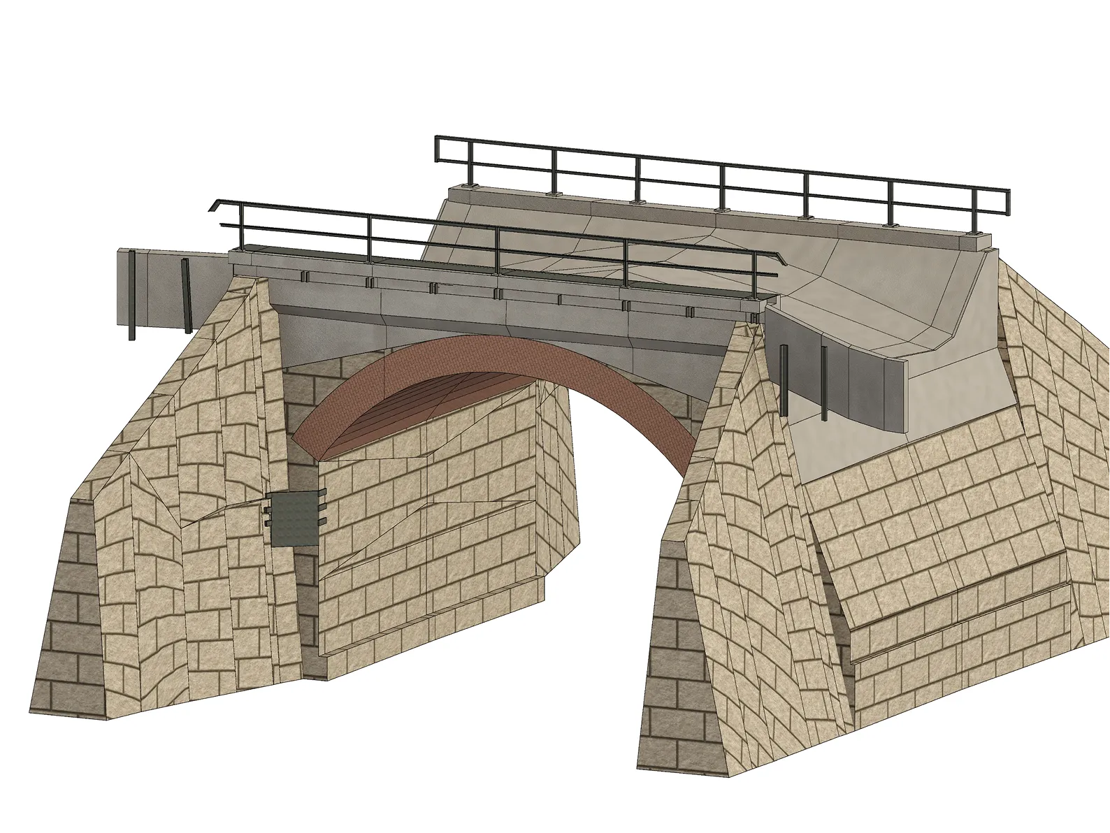
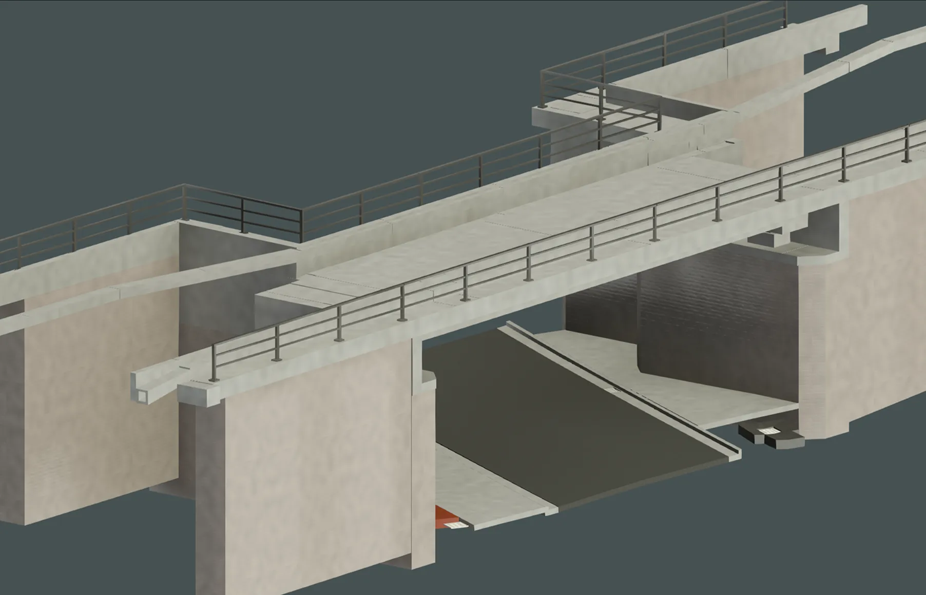
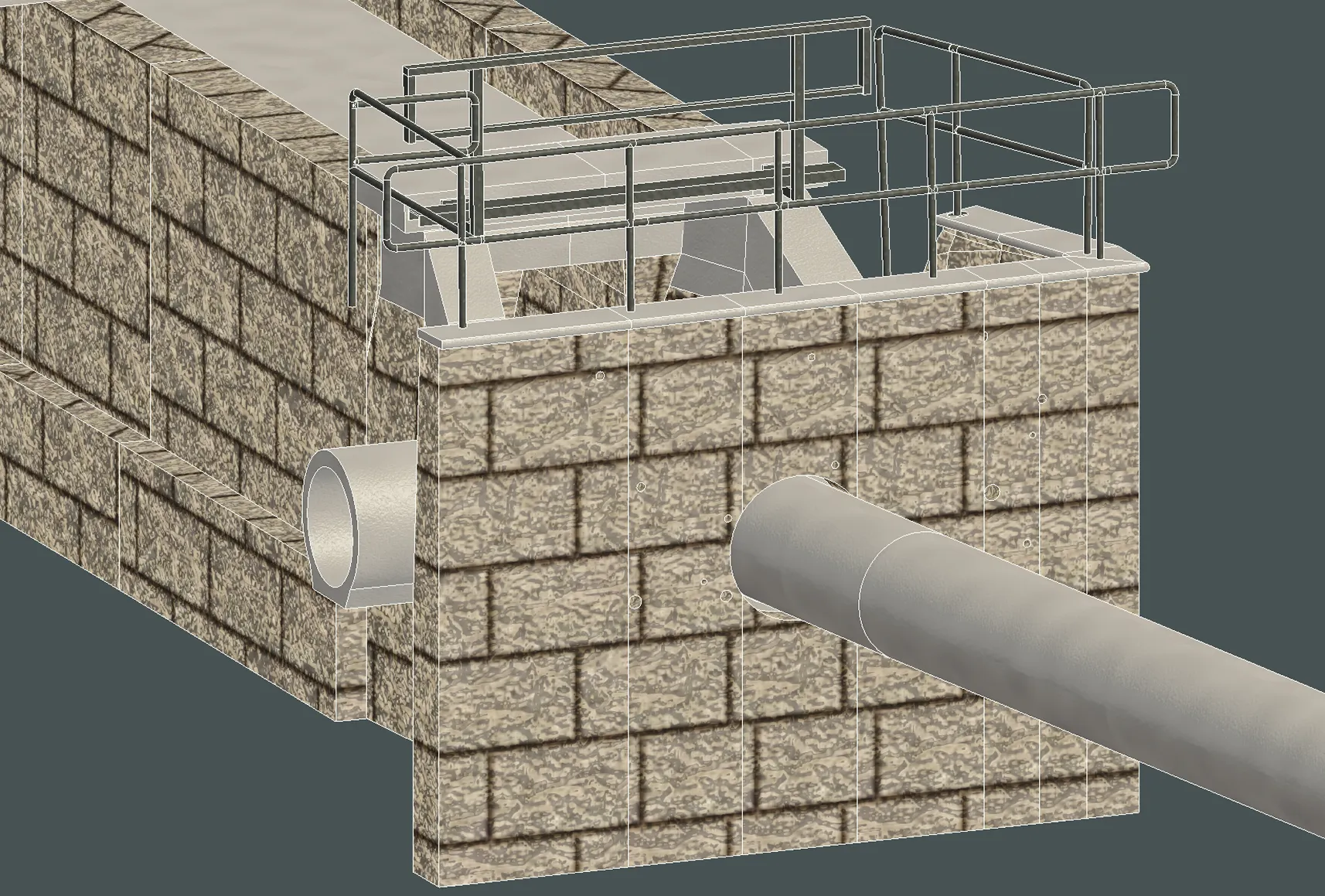
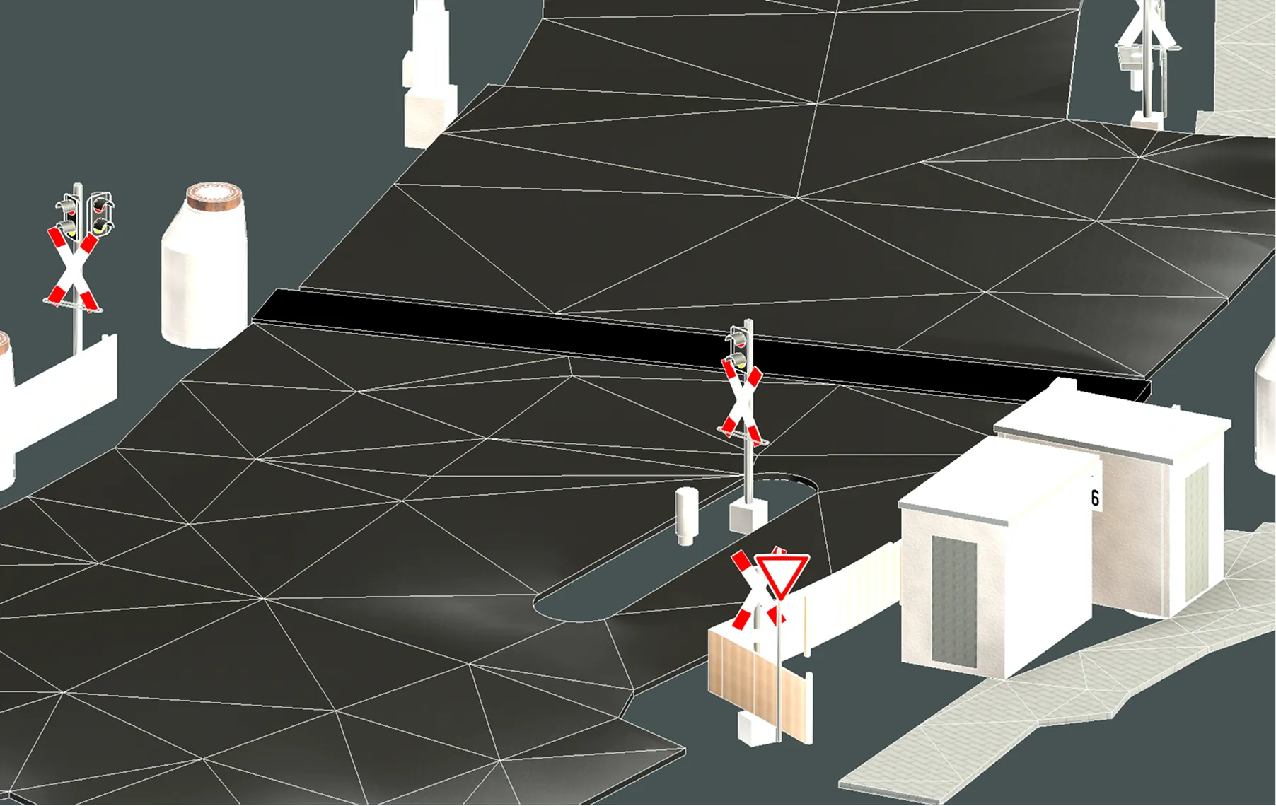
Archizem’s engineering team delivered detailed BIM models for key engineering assets along a railway corridor, including bridges, culverts, level crossings, cable ducts, manholes, signalling elements, and other infrastructure components.
A distinguishing feature of the project was the parallel execution of two interconnected workstreams: BIM modelling of the structures and the development of a Digital Terrain Model (DTM). This approach ensured geometric consistency between the terrain and the assets, providing a reliable, integrated basis for subsequent design.
The modelling workflow utilized static laser scanning point clouds for bridges and culverts, supplemented by mobile data captured with the Trimble GEDO system. The achieved accuracy was 5 cm relative to the point cloud, with critical bridge components modelled to 1–2 cm accuracy.
As a result, detailed BIM deliverables were produced in RVT and IFC formats, ready for technical assessment, reconstruction planning, and the development of new engineering solutions.