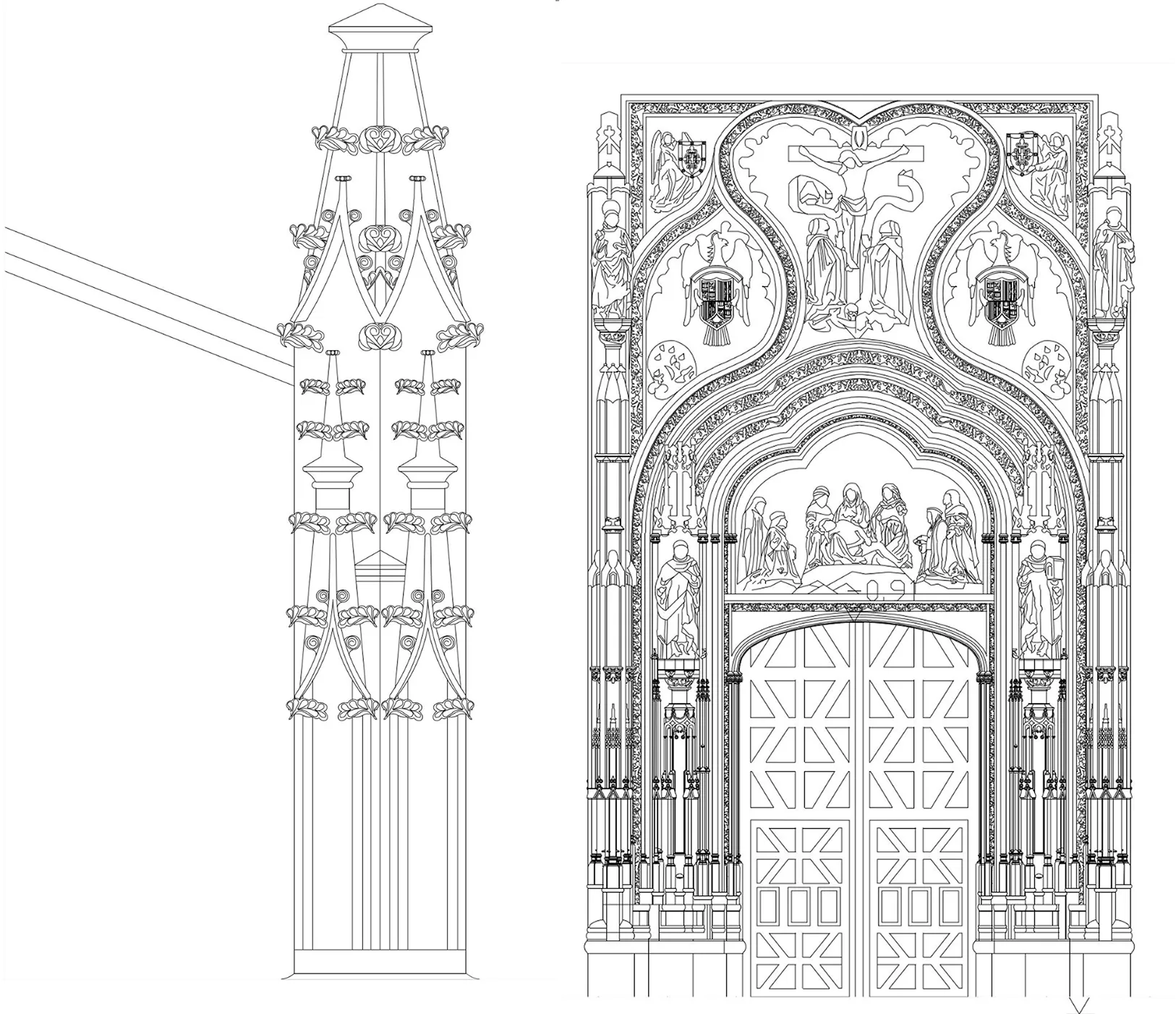
Architectural Drawings of a Historic Cathedral in CAD Format

2024
No items found.

Archizem’s engineering team developed a comprehensive set of 2D CAD drawings for a historic cathedral in Spain, based on a laser scanning point cloud. This project contributes to architectural heritage preservation and establishes a precise graphic baseline for restoration and research activities.

Using the point cloud, the team captured the cathedral’s structural and decorative elements, from Gothic arches and vaults to intricate façade details. The deliverables include high-accuracy plans, elevations, and sections, suitable for restoration studies, digital archiving, and future conservation projects.

Special attention was given to detailing historic features such as portals, towers, and interior arcades. The drawings comply with international standards and are ready for integration into subsequent architectural and research initiatives.
Similar projects:

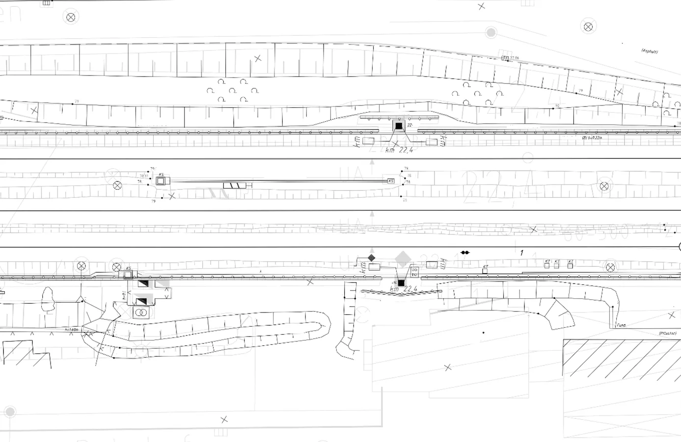
Digital Terrain Model of a Railway Station Area Aligned with a BIM Model

Archizem's engineering team developed a precise Digital Terrain Model (DTM) for a 450-meter railway corridor section, covering a 50-meter wide area that included both infrastructure and adjacent land.
SEE DETAILS

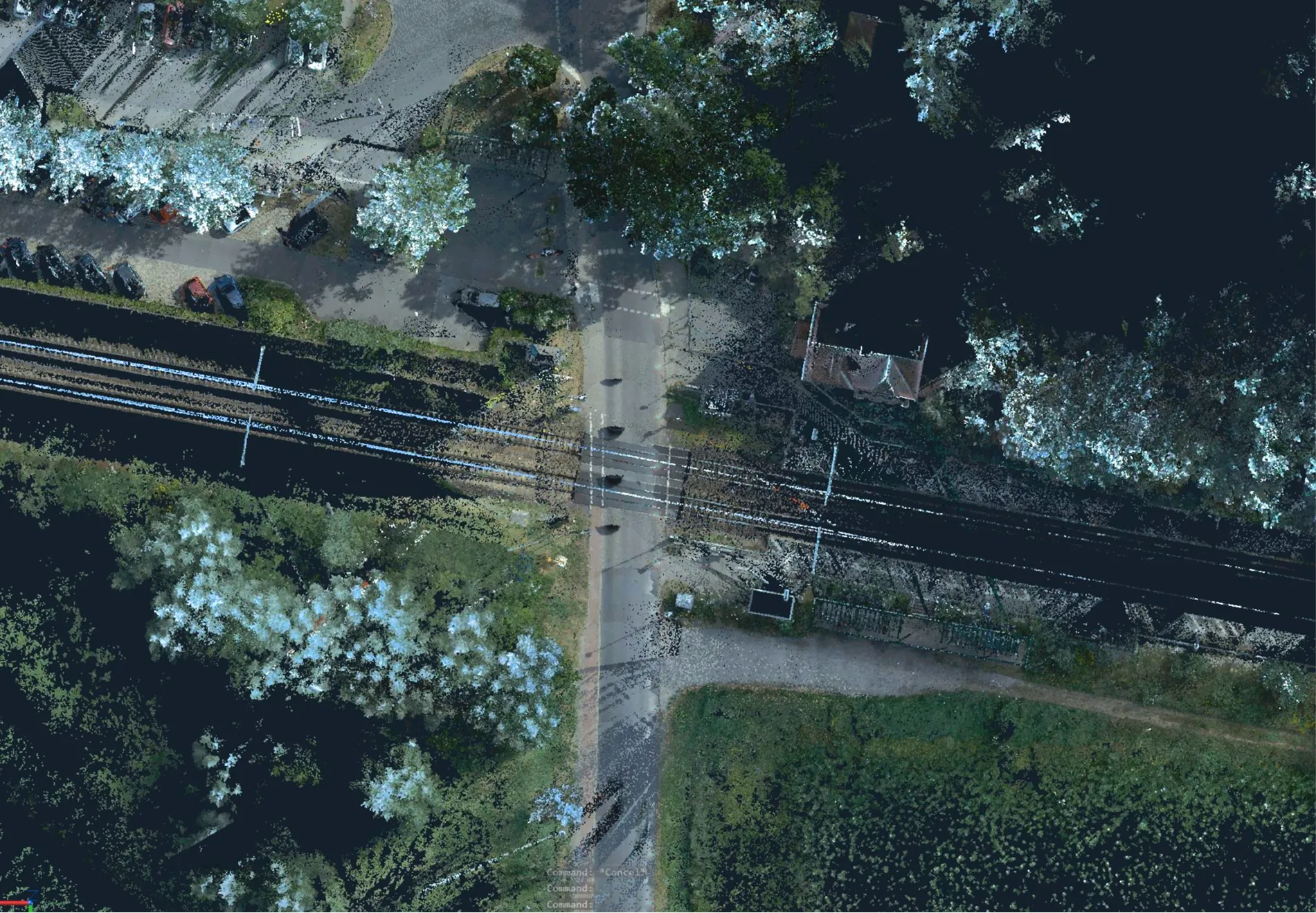
Topographic Plans (1:200) for 95 Railway Level Crossings

Archizem completed the topographic and geodetic data processing and produced 95 individual topographic plans at a scale of 1:200 for railway level crossings. Each plan details the transport and engineering infrastructure, along with surrounding features, within the defined project area for every location.
SEE DETAILS

Free data audit and calculation — within 24 hours.

Submit your request

Our specialists will conduct a free analysis of your source data and provide a detailed proposal with cost and timelines within one business day.
Grazie! Your submission has been received!
We have received your request and will contact you shortly
Oops! Something went wrong. Please try again.