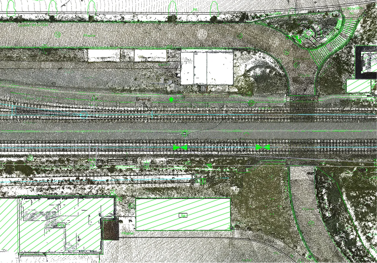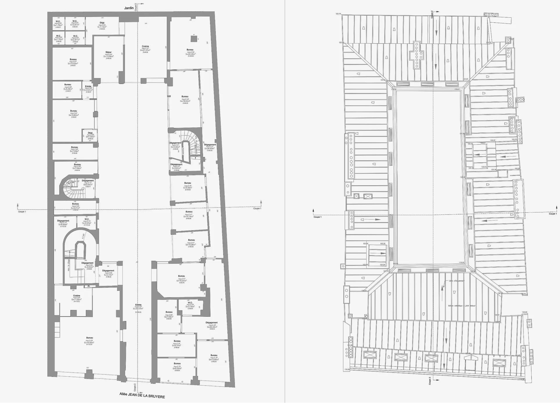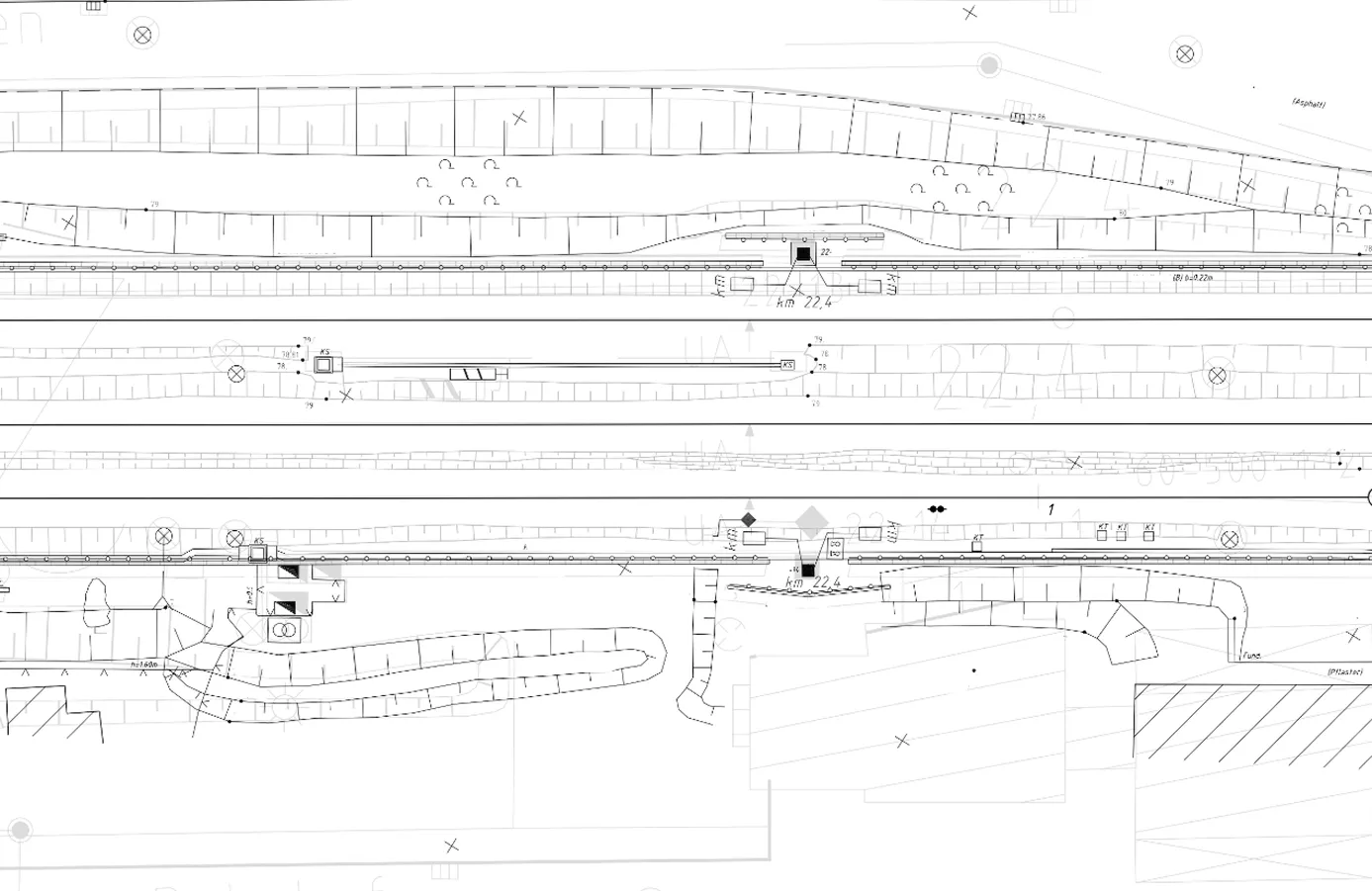
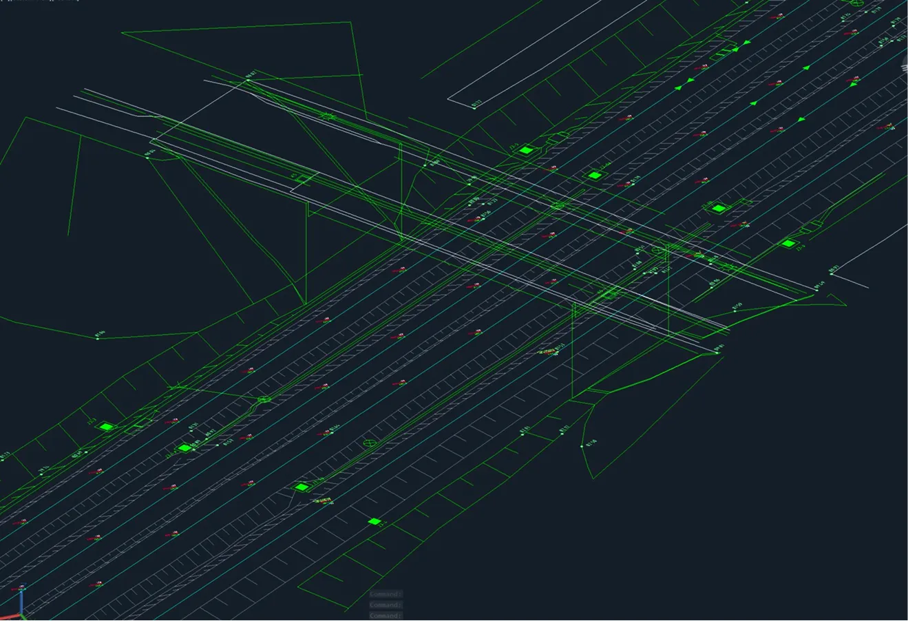
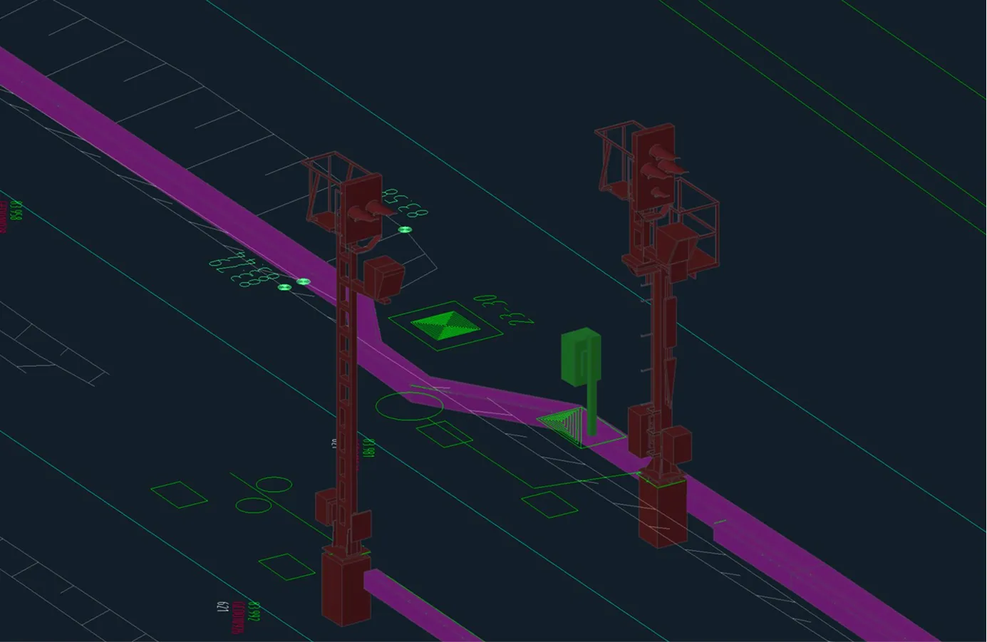
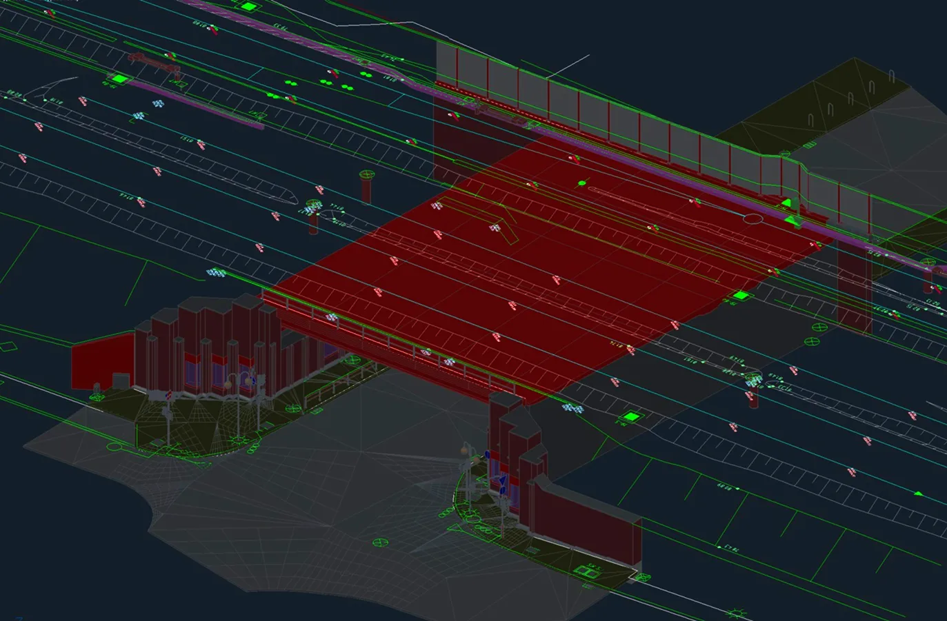
Archizem completed the office processing of topographic and geodetic data and produced a detailed topographic plan at a scale of 1:200 for a railway corridor approximately 4.75 km long and up to 60 m wide. The plan captures all railway and engineering infrastructure elements, as well as adjacent areas, within the project scope.
The base was compiled by integrating multiple data sources: laser scanning data, an aerial photogrammetry point cloud, orthophotos, and total station survey results. This integrated methodology guaranteed both high detail and a reliable representation of all key site features.
A key task involved aligning this topographic plan with the concurrently developed BIM model of the railway infrastructure and the Digital Terrain Model (DTM). The final coordinated dataset provides a robust geospatial foundation for all design documentation and engineering decisions related to the reconstruction.